8 0 0 0 OA 日本の国郡区域と新しい広域行政区画の展望
- 著者
- 齊藤 忠光
- 出版者
- 日本地図学会
- 雑誌
- 地図 (ISSN:00094897)
- 巻号頁・発行日
- vol.52, no.2, pp.2_1-2_16, 2014-06-30 (Released:2016-11-17)
- 参考文献数
- 19
This paper looks at the process of establishing the historic administrative district areas and county areas as Japan established itself as a single nation and the transitional changes that led to today's prefectures, and the perspective for future wide-area administrative districts in Japan.Japan's historic administrative district areas and county areas comprised a regional administration system, established by the ancient Japanese state under the Ritsuryo legal code, based on the regional systems of China and Korea.The old maps from these times show the process of change from administrative districts to territorial divisions that identify regions, that occurred in the early modern period of feudal society, after the historic administrative district areas and county areas that formed the administrative districts of ancient Japan became superficial in medieval times.These maps also show that, with the further progression into the Meiji Restoration period, prefectures were established in the place of feudal domains, although these prefectural districts were established in line with the historic administrative district areas and county areas that formed the regions of early modern feudal society. The process through which counties became regional administrative districts possessing juridical personality, and then subsequently returned to geographical naming that identified regions after acquiring the role of administrative regions is also shown.In addition, these maps show the meandering process through which the prefectural districts, in other words the wide-area administrative districts that followed the establishment of prefectures in the place of feudal domains, were established, and they can also be applied to the analyses of proposals for the far-sighted yet un-realized further merging of prefectural districts.The ancient Japanese administrative district areas and county areas that underwent these transitional changes maintained regions that were coherent in terms of geography and climate and still exist today as cultural and historical regions.Meanwhile, the municipalities that comprise the basic local authorities that are closest to today's residents were expanded during the mergers of municipalities from the Meiji to the Showa period and subsequent mergers in the Heisei period, and inverse phenomena, namely the creation of cities with wider areas than prefectures, also occurred. However, many instances where the old county districts have literally become cities in their own right give testimony to the geographical coherence of the old county districts.In view of these prefectures, which comprise the new wide-area administrative districts, and the current status of the expanded municipalities, the objective of this study is to introduce proposals for wide-area provinces that will form the next new wide-area administrative districts, and to form a perspective for future wide-area administrative districts in Japan.
4 0 0 0 OA 府県廃置法律案附図【大日本帝国全図】
- 著者
- 齊藤 忠光
- 出版者
- 日本地図学会
- 雑誌
- 地図 (ISSN:00094897)
- 巻号頁・発行日
- vol.51, no.3, pp.3_17-3_18, 2013 (Released:2016-11-17)
- 著者
- 齊藤 忠光
- 出版者
- 日本地図学会
- 雑誌
- 地図 (ISSN:00094897)
- 巻号頁・発行日
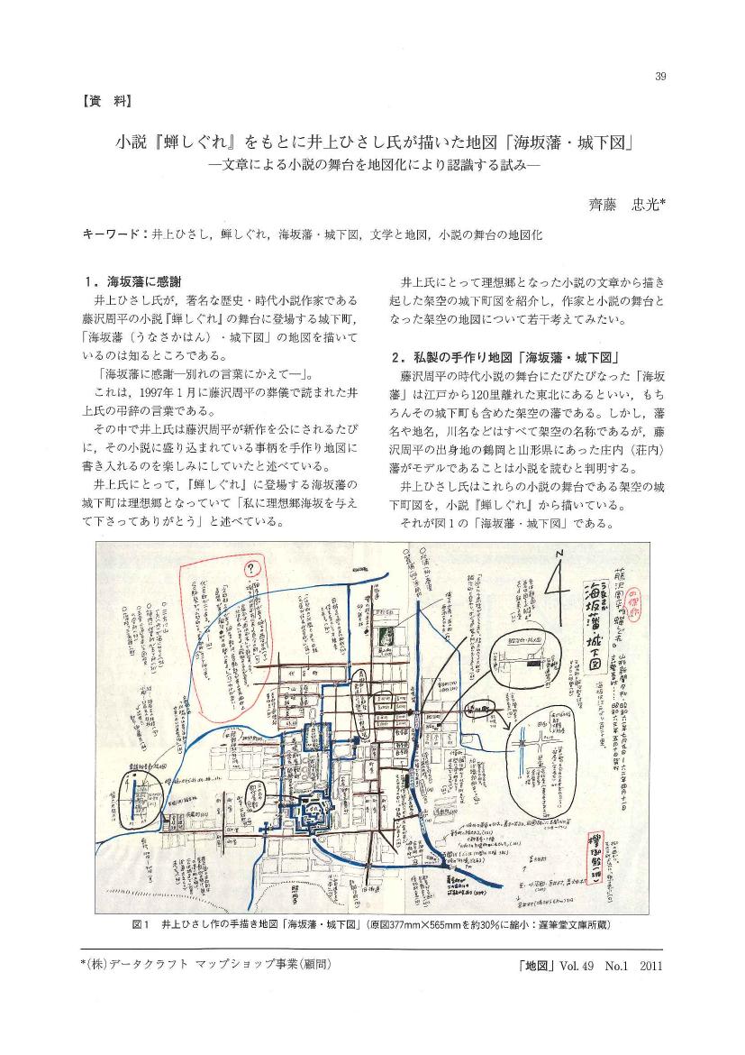
- vol.49, no.1, pp.1_39-1_40, 2011 (Released:2015-11-07)
- 参考文献数
- 5
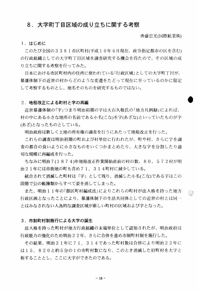
1 0 0 0 OA 大字町丁目区域の成り立ちに関する考察
- 著者
- 齊藤 忠光
- 出版者
- 日本地図学会
- 雑誌
- 地図 (ISSN:00094897)
- 巻号頁・発行日
- vol.37, no.Supplement, pp.18-19, 1999 (Released:2011-07-19)
1 0 0 0 OA 紙地図の供給にミウラ折り地図を考える
- 著者
- 齊藤 忠光
- 出版者
- 日本地図学会
- 雑誌
- 地図 (ISSN:00094897)
- 巻号頁・発行日
- vol.55, no.2, pp.33-36, 2017-06-30 (Released:2018-09-12)
- 参考文献数
- 6
1 0 0 0 府県廃置法律案附図【大日本帝国全図】
- 著者
- 齊藤 忠光
- 出版者
- 日本地図学会
- 雑誌
- 地図 (ISSN:00094897)
- 巻号頁・発行日
- vol.51, no.3, pp.17-18, 2013
1 0 0 0 逆さ日本地図「東アジア交流地図」
- 著者
- 齊藤 忠光 新田 聡
- 出版者
- 日本地図学会
- 雑誌
- 地図 (ISSN:00094897)
- 巻号頁・発行日
- vol.48, no.2, pp.2_51-2_52, 2010
1 0 0 0 OA 逆さ日本地図「東アジア交流地図」
- 著者
- 齊藤 忠光 新田 聡
- 出版者
- 日本地図学会
- 雑誌
- 地図 (ISSN:00094897)
- 巻号頁・発行日
- vol.48, no.2, pp.2_51-2_52, 2010 (Released:2015-11-07)


