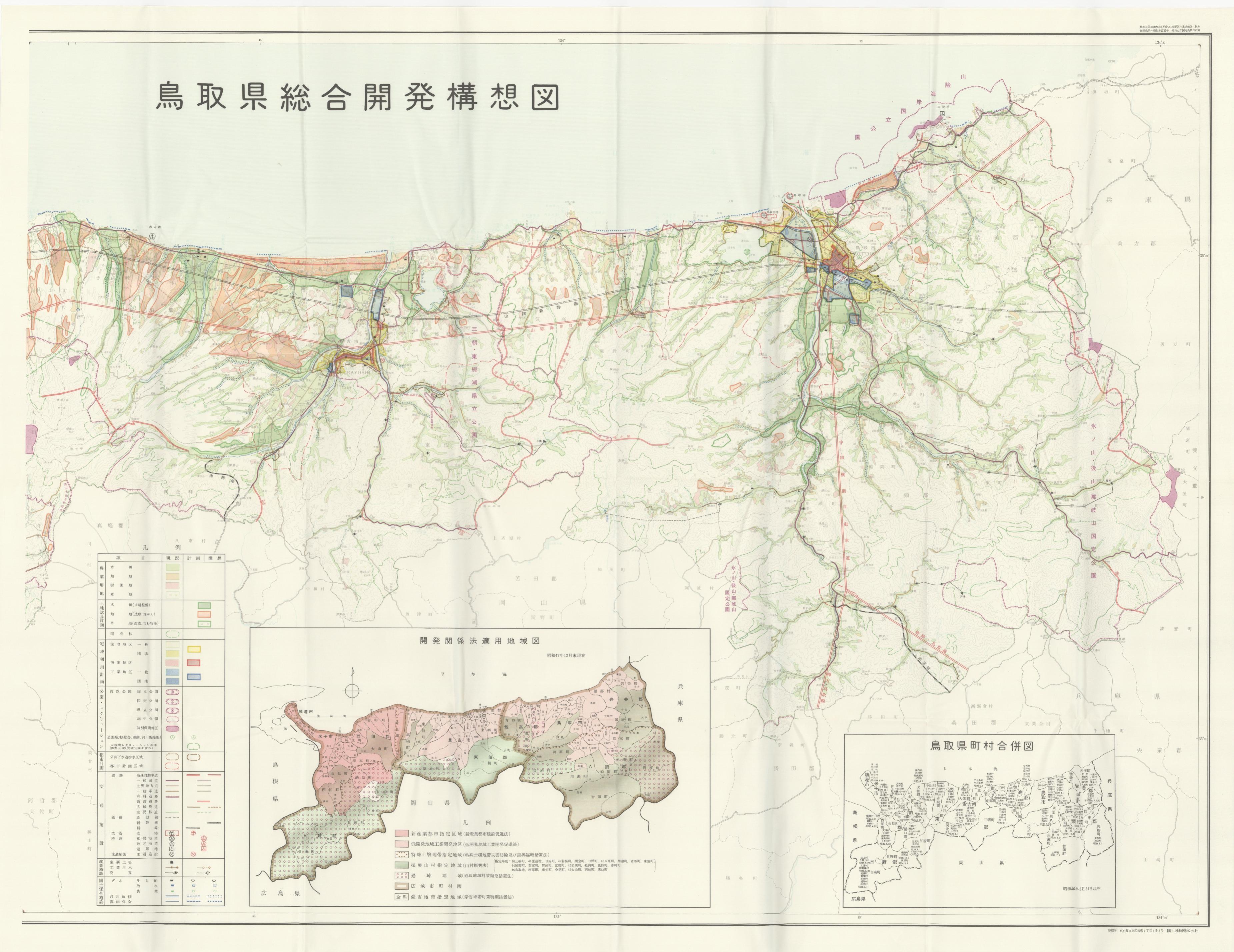
470 0 0 0 OA 添付地図
- 出版者
- 日本地図学会
- 雑誌
- 地図 (ISSN:00094897)
- 巻号頁・発行日
- vol.33, no.3, pp.AP1, 1995-09-30 (Released:2011-07-19)
50 0 0 0 OA 添付地図
- 出版者
- 日本地図学会
- 雑誌
- 地図 (ISSN:00094897)
- 巻号頁・発行日
- vol.49, no.3, pp.3_AP1-3_AP1, 2011 (Released:2015-11-07)
37 0 0 0 OA 偉人にちなんだ (旧) ソビエト諸都市の改称 地名についての歴史的展望
- 著者
- パーヴェル イリーイン 山田 晴通
- 出版者
- 日本地図学会
- 雑誌
- 地図 (ISSN:00094897)
- 巻号頁・発行日
- vol.33, no.2, pp.13-41, 1995-06-30 (Released:2011-07-19)
ボリシェヴィキ革命から1991年12月の消滅に至る旧ソ連について, 人名が付けられた都市地名の改称の流れを, 長老都市地理学者が検討する. 特に注目される改称の波には,(a)政治的・軍事的指導者を讃えた1920年代・1930年代,(b)スターリン色を払拭し, 自国の作家・作曲家・詩人を讃え, 社会主義圏諸国との友好関係を持ち上げた1950年代,(c)共産主義時代の好ましくない痕跡を消し去ろうとする1980年代後半から現在に至る時期のものがある.
35 0 0 0 OA 添付地図その2
- 出版者
- 日本地図学会
- 雑誌
- 地図 (ISSN:00094897)
- 巻号頁・発行日
- vol.31, no.1, pp.AP2-AP3, 1993-03-31 (Released:2011-07-19)
35 0 0 0 OA 日本道路公団の新版高速道路地図
- 著者
- 田村 幸久
- 出版者
- 日本地図学会
- 雑誌
- 地図 (ISSN:00094897)
- 巻号頁・発行日
- vol.31, no.1, pp.41-44, 1993-03-31 (Released:2011-07-19)
32 0 0 0 OA 地形表現手法の諸問題と赤色立体地図
29 0 0 0 OA 5万分1地形図作成史周辺の諸般新事実
- 著者
- 長岡 正利
- 出版者
- 日本地図学会
- 雑誌
- 地図 (ISSN:00094897)
- 巻号頁・発行日
- vol.35, no.4, pp.20-25, 1997-12-30 (Released:2011-07-19)
- 参考文献数
- 23
25 0 0 0 OA 添付地図その2
- 出版者
- 日本地図学会
- 雑誌
- 地図 (ISSN:00094897)
- 巻号頁・発行日
- vol.1, no.2, pp.AP1, 1963-07-25 (Released:2011-07-19)
24 0 0 0 OA 「名神高速道路地図」について
- 著者
- 中野 達彦
- 出版者
- 日本地図学会
- 雑誌
- 地図 (ISSN:00094897)
- 巻号頁・発行日
- vol.1, no.2, pp.39, 1963-07-25 (Released:2011-07-19)
18 0 0 0 OA 初期の地形図類 (3)
- 著者
- 清水 靖夫
- 出版者
- 日本地図学会
- 雑誌
- 地図 (ISSN:00094897)
- 巻号頁・発行日
- vol.3, no.2, pp.7-14, 1965-06-30 (Released:2011-07-19)
- 被引用文献数
- 1
16 0 0 0 OA 地図にみられる日本とアイヌの河川・湖沼・湿地の地名
- 著者
- 中平 龍二郎
- 出版者
- Japan Cartographers Association
- 雑誌
- 地図 (ISSN:00094897)
- 巻号頁・発行日
- vol.13, no.3, pp.31-40, 1975-09-30 (Released:2011-07-19)
16 0 0 0 OA 伊能図中図におけるずれに関する考察
- 著者
- 金澤 敬
- 出版者
- Japan Cartographers Association
- 雑誌
- 地図 (ISSN:00094897)
- 巻号頁・発行日
- vol.38, no.1, pp.13-20, 2000-03-30 (Released:2011-07-19)
- 参考文献数
- 16
14 0 0 0 OA 添付地図
- 出版者
- 日本地図学会
- 雑誌
- 地図 (ISSN:00094897)
- 巻号頁・発行日
- vol.11, no.1, pp.AP1-AP2, 1973-03-31 (Released:2011-07-19)
12 0 0 0 OA 火山ハザードマップの読み取りに対するドリルマップ提示の効果
- 著者
- 村越 真 小山 真人
- 出版者
- Japan Cartographers Association
- 雑誌
- 地図 (ISSN:00094897)
- 巻号頁・発行日
- vol.45, no.4, pp.1-11, 2007-12-31 (Released:2011-07-19)
- 参考文献数
- 13
- 被引用文献数
- 1
From two experiments, effect of drill map presentation for reading task of hazard map was examined. Two experiments were conducted to determine whether providing specialized projected volcanic activity maps (drill maps) resulted in improved interpretation of publicly available volcanic hazard maps.In the first experiment, 113 junior high school students and 33 university students were required to formulate a plan of action in the event of a volcanic activity alert working in pairs. This task was carried out by two groups of participants: an experimental group and a control group. For the experimental group, a drill map showing projected lava flows from three different volcanic craters was presented before the task. The participants also filled out a questionnaire regarding their level of knowledge about volcanic hazards and their impressions about the task. Although no difference in performance was discernable in relation to the questionnaire responses, the general quality of plans produced by the experimental group was better than the control group.In the second experiment the task, carried outindividually, was to evaluate the urgency to evacuate at six different locations shown on a hazard map under three different hypothetical situations: 1) a volcanic activity advisory, 2) volcanic activity alert with an assumed crater location, and 3) volcanic activity alert with a different assumed crater location. Forty-two university students were randomly assigned to either the control group or the experimental group. The experimental group participants were presented with a drill map and given an explanation of the drill map. The same task was also given to ten experts on volcanic activity. The evaluation of the threat was significantly different a one location (location E) between situation 2 and 3 in the control group while at three locations (A, C, & D) in the experimental group and at two locations (location A & D) in the expert group. Also, a comparison between the three groups showed that the evaluations of the experimental group were similar to those of the experts. This indicates that presentation of drill maps enables adults with no special knowledge about hazard maps to evaluate the urgency of the threat due to volcanic activities more accurately from hazard maps.
12 0 0 0 OA ジオパークでの地形・地質学的特徴把握を促進する地図表現の検討
- 著者
- 村越 真 小山 真人 上西 智紀
- 出版者
- 日本地図学会
- 雑誌
- 地図 (ISSN:00094897)
- 巻号頁・発行日
- vol.49, no.3, pp.3_17-3_27, 2011 (Released:2015-11-07)
- 参考文献数
- 20
The purpose of this study is to examine characteristics of the Red Relief Image Maps (RRIM) comparing to contour maps and to search for suitable topographic expression for geological tours (geotours) in geoparks. An experiment of map reading tasks involving inclination comparison, ridge / valley judgement, and geological reasoning was conducted. The participants were 40 university students and 81 high school students. They were given the above tasks both with the RRIM as well as with normal contour maps except for the geological reasoning task. Results of the inclination comparison and ridge / valley judgement with RRIM and contour maps were compared among the participants and those of the geological reasoning was compared between each participant. The results indicate that the inclination comparison is better with contour maps than with RRIM while the geological reasoning is better with RRIM among university students. As to ridge/ valley judgement results, fifteen percent of the participants mistook all ridges as valleys and vice versa with RRIM. These results imply that the contour maps are better for grasping local characteristics of landforms while RRIM are better for comprehending large scale landform features so as to lead appropriate geological reasoning from maps. Utility and limitation of RRIM for geotours were also discussed.
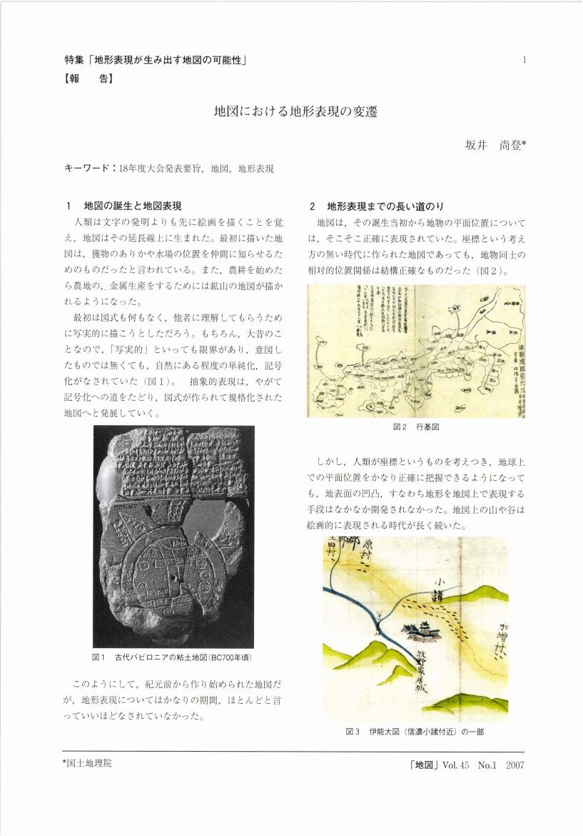
12 0 0 0 OA 地図における地形表現の変遷
- 著者
- 坂井 尚登
- 出版者
- 日本地図学会
- 雑誌
- 地図 (ISSN:00094897)
- 巻号頁・発行日
- vol.45, no.1, pp.1-4, 2007-03-31 (Released:2011-07-19)
- 被引用文献数
- 2
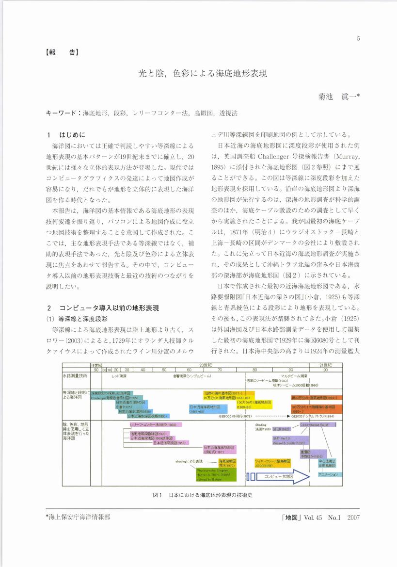
12 0 0 0 OA 光と陰, 色彩による海底地形表現
11 0 0 0 OA 地名の地理学8
- 著者
- ムルザーエフ E.M.
- 出版者
- 日本地図学会
- 雑誌
- 地図 (ISSN:00094897)
- 巻号頁・発行日
- vol.29, no.3, pp.34-39, 1991-09-30 (Released:2011-07-19)
11 0 0 0 OA 海峡地形の呼称について
- 著者
- 中西 良夫
- 出版者
- Japan Cartographers Association
- 雑誌
- 地図 (ISSN:00094897)
- 巻号頁・発行日
- vol.1, no.4, pp.18-22, 1963-12-31 (Released:2011-07-19)
10 0 0 0 OA 海洋地質学者・父・田山利三郎の足跡 -パラオ共和国・南洋群島・明神礁-
- 著者
- 海老名 卓三郎
- 出版者
- 日本地図学会
- 雑誌
- 地図 (ISSN:00094897)
- 巻号頁・発行日
- vol.53, no.2, pp.30-35, 2015-06-30 (Released:2016-11-17)
- 参考文献数
- 5


