3 0 0 0 OA 日本地学の展開 (大正13年~昭和20年) 〈その2〉
- 著者
- 日本地学史編纂委員会 東京地学協会
- 出版者
- 公益社団法人 東京地学協会
- 雑誌
- 地学雑誌 (ISSN:0022135X)
- 巻号頁・発行日
- vol.110, no.3, pp.362-392, 2001-06-25 (Released:2010-04-23)
- 参考文献数
- 132
- 被引用文献数
- 2 2
2 0 0 0 OA 西洋地学の導入 (明治元年~明治24年)〈その1〉
- 著者
- 日本地学史編纂委員会
- 出版者
- Tokyo Geographical Society
- 雑誌
- 地学雑誌 (ISSN:0022135X)
- 巻号頁・発行日
- vol.101, no.2, pp.133-150, 1992-04-25 (Released:2010-12-22)
- 参考文献数
- 31
- 被引用文献数
- 3 1
- 著者
- 日本地学史編纂委員会東京地学協会 今井 功 石山 洋 垣見 俊弘 黒田 和男 谷本 勉 八耳 俊文
- 出版者
- 公益社団法人 東京地学協会
- 雑誌
- 地學雜誌 (ISSN:0022135X)
- 巻号頁・発行日
- vol.105, no.2, pp.215-237, 1996-04-25
- 参考文献数
- 173
- 被引用文献数
- 6 1
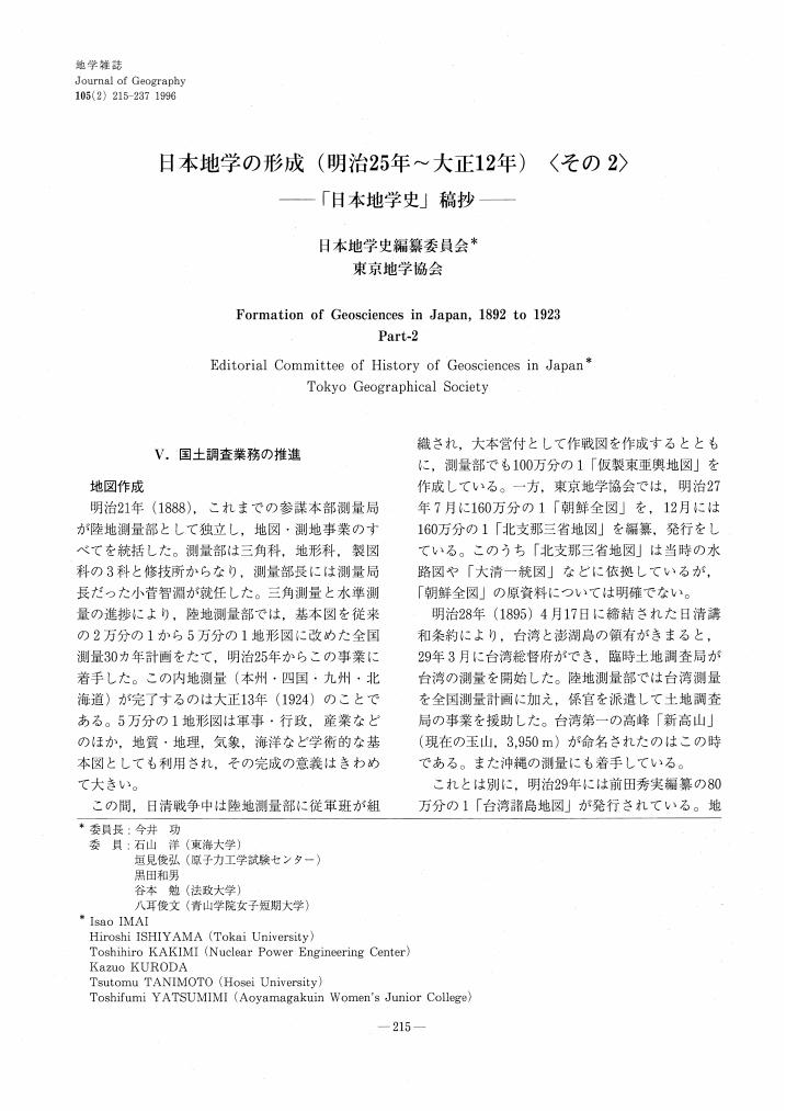
2 0 0 0 OA 日本地学の形成 (明治25年~大正12年) <その2>
- 著者
- 日本地学史編纂委員会 東京地学協会
- 出版者
- Tokyo Geographical Society
- 雑誌
- 地学雑誌 (ISSN:0022135X)
- 巻号頁・発行日
- vol.105, no.2, pp.215-237, 1996-04-25 (Released:2009-11-12)
- 参考文献数
- 150
- 被引用文献数
- 1 1
2 0 0 0 OA 戦後日本の地学(昭和20年~昭和40年)その1 : 「日本地学史」稿抄
- 著者
- 日本地学史編纂委員会
- 出版者
- 東京地学協会
- 雑誌
- 地学雑誌
- 巻号頁・発行日
- vol.117, no.1, 2008
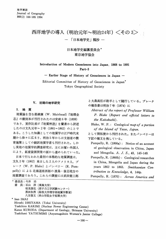
1 0 0 0 OA 西洋地学の導入 (明治元年-明治24年)〈その3〉
- 著者
- 日本地学史編纂委員会 (東京地学協会)
- 出版者
- Tokyo Geographical Society
- 雑誌
- 地学雑誌 (ISSN:0022135X)
- 巻号頁・発行日
- vol.103, no.2, pp.166-185, 1994-04-25 (Released:2010-12-22)
- 参考文献数
- 109
- 被引用文献数
- 1 1
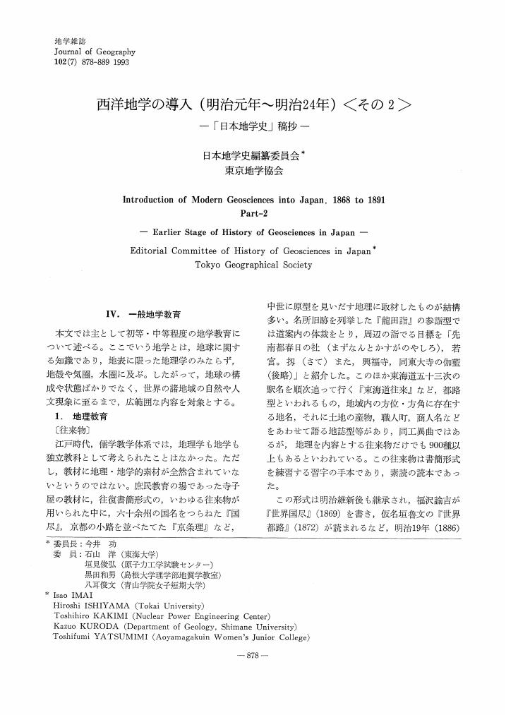
1 0 0 0 OA 西洋地学の導入 (明治元年~明治24年) 〈その2〉
- 著者
- 日本地学史編纂委員会 東京地学協会
- 出版者
- Tokyo Geographical Society
- 雑誌
- 地学雑誌 (ISSN:0022135X)
- 巻号頁・発行日
- vol.102, no.7, pp.878-889, 1993-12-25 (Released:2010-04-23)
- 参考文献数
- 19
- 被引用文献数
- 2
1 0 0 0 OA 日本地学の展開(大正13年~昭和20年)その2 : 「日本地学史」稿抄
- 著者
- 日本地学史編纂委員会
- 出版者
- 東京地学協会
- 雑誌
- 地学雑誌
- 巻号頁・発行日
- vol.110, no.3, 2001
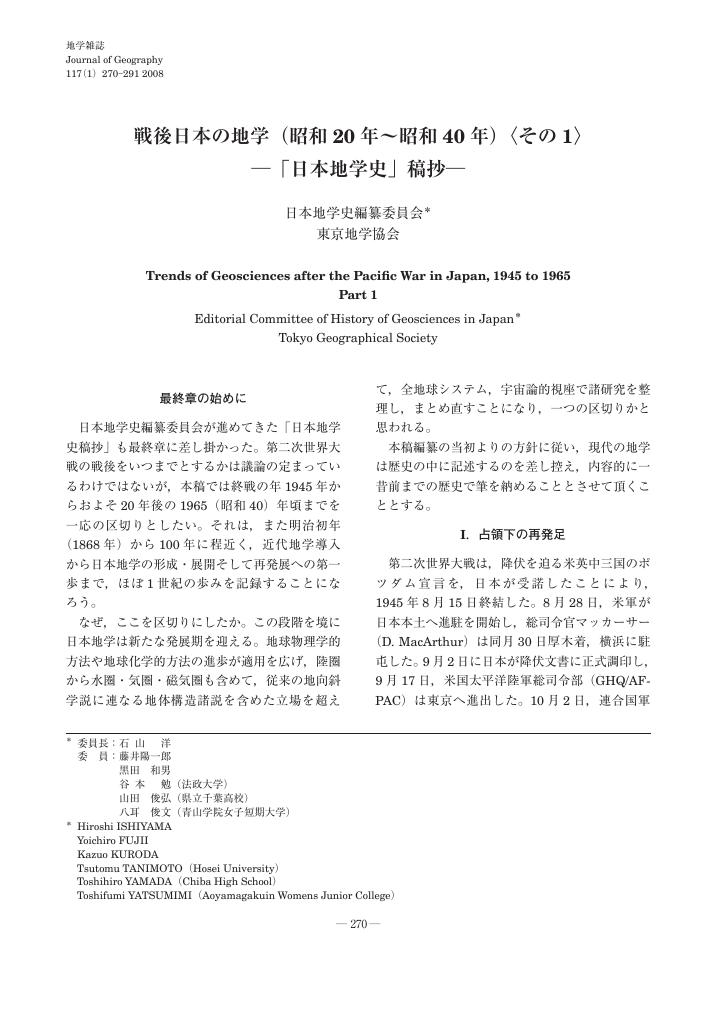
1 0 0 0 OA 戦後日本の地学(昭和20年~昭和40年)〈その1〉―「日本地学史」稿抄―
- 著者
- 日本地学史編纂委員会 東京地学協会
- 出版者
- 公益社団法人 東京地学協会
- 雑誌
- 地学雑誌 (ISSN:0022135X)
- 巻号頁・発行日
- vol.117, no.1, pp.270-291, 2008-02-25 (Released:2010-02-10)
- 参考文献数
- 102
- 被引用文献数
- 3 3
1 0 0 0 OA 戦後日本の地学(昭和20年~昭和40年)〈その6〉─「日本地学史」稿抄─
- 著者
- 日本地学史編纂委員会 東京地学協会
- 出版者
- 公益社団法人 東京地学協会
- 雑誌
- 地学雑誌 (ISSN:0022135X)
- 巻号頁・発行日
- vol.127, no.6, pp.835-860, 2018-12-25 (Released:2019-01-30)
- 参考文献数
- 260
The development of geomorphology, human geography, history and methodology of geography, regional geography, and geographic education in Japan from 1945 to 1965 are described. Research objectives and methodologies of geomorphology diversified during this period. A series of natural disasters triggered by earthquakes and typhoons raised social demands for disaster prevention and national land-use management. Full-scale geomorphic studies, fused with geology and engineering, started. Historical geomorphology of lowland plains and process geomorphology began to develop, adding to traditional descriptive geomorphology. The Research Institute for Natural Resources and the Geographical Survey Institute contributed to the postwar reconstruction of geomorphology. Aerial photo interpretation and quantitative land surface analyses developed. A hierarchical landform classification for lowland plains was established and applied to many plains in Japan and developing countries, in order to predict areas subject to flooding and land use planning. The postwar education system increased the number of physical geographers. They contributed to the land classification of Japan as a whole and increased interest in Quaternary environmental changes such as climate and sea level changes, as well as crustal movements, which have produced landform diversity. In 1956, they established the Japan Association for Quaternary Research in cooperation with geologists, anthropologists, and archaeologists. Human geographical research in postwar Japan was far more active and diverse than in the prewar years. This was partly the result of an increase in academic posts devoted to human geography in relation to curriculum reforms in secondary and higher education. Initially, settlement geography was a major field of study. Subsequently, historical geography and economic geography were gradually popularized with the establishment of specialized academic societies, which were dedicated to both fields of study. Among the newly emerging fields were urban, social, and cultural geography. The history and methodology of geography were viewed as overarching fields connected to both physical and human geography. Despite ongoing diversification within geographical research, various topics in these fields were addressed by Japanese geographers. This reflected long-lasting debates concerning the disciplinary identity of geography itself. Regional geography and geographic education concerned both physical and human geography. These research fields were invigorated because of the relative importance of geography in Japan's secondary and higher education systems up to the early 1960s.
- 著者
- 日本地学史編纂委員会 東京地学協会
- 出版者
- 公益社団法人 東京地学協会
- 雑誌
- 地學雜誌 (ISSN:0022135X)
- 巻号頁・発行日
- vol.127, no.6, pp.835-860, 2018
<p> The development of geomorphology, human geography, history and methodology of geography, regional geography, and geographic education in Japan from 1945 to 1965 are described. Research objectives and methodologies of geomorphology diversified during this period. A series of natural disasters triggered by earthquakes and typhoons raised social demands for disaster prevention and national land-use management. Full-scale geomorphic studies, fused with geology and engineering, started. Historical geomorphology of lowland plains and process geomorphology began to develop, adding to traditional descriptive geomorphology. The Research Institute for Natural Resources and the Geographical Survey Institute contributed to the postwar reconstruction of geomorphology. Aerial photo interpretation and quantitative land surface analyses developed. A hierarchical landform classification for lowland plains was established and applied to many plains in Japan and developing countries, in order to predict areas subject to flooding and land use planning. The postwar education system increased the number of physical geographers. They contributed to the land classification of Japan as a whole and increased interest in Quaternary environmental changes such as climate and sea level changes, as well as crustal movements, which have produced landform diversity. In 1956, they established the Japan Association for Quaternary Research in cooperation with geologists, anthropologists, and archaeologists. Human geographical research in postwar Japan was far more active and diverse than in the prewar years. This was partly the result of an increase in academic posts devoted to human geography in relation to curriculum reforms in secondary and higher education. Initially, settlement geography was a major field of study. Subsequently, historical geography and economic geography were gradually popularized with the establishment of specialized academic societies, which were dedicated to both fields of study. Among the newly emerging fields were urban, social, and cultural geography. The history and methodology of geography were viewed as overarching fields connected to both physical and human geography. Despite ongoing diversification within geographical research, various topics in these fields were addressed by Japanese geographers. This reflected long-lasting debates concerning the disciplinary identity of geography itself. Regional geography and geographic education concerned both physical and human geography. These research fields were invigorated because of the relative importance of geography in Japan's secondary and higher education systems up to the early 1960s.</p>


