1 0 0 0 根尾谷断層に関する資料
- 著者
- 井関 弘太郎 守屋 以智雄
- 出版者
- 公益社団法人 東京地学協会
- 雑誌
- 地學雜誌 (ISSN:0022135X)
- 巻号頁・発行日
- vol.77, no.3, pp.155-165, 1968
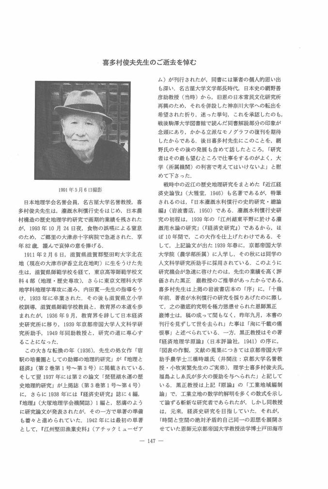
1 0 0 0 OA 喜多村俊夫先生のご逝去を悼む
- 著者
- 井関 弘太郎
- 出版者
- 公益社団法人 日本地理学会
- 雑誌
- 地理学評論 Ser. A (ISSN:00167444)
- 巻号頁・発行日
- vol.67, no.3, pp.147-148, 1994-03-01 (Released:2008-12-25)
1 0 0 0 OA 沖積層基底礫層について
- 著者
- 井関 弘太郎
- 出版者
- Tokyo Geographical Society
- 雑誌
- 地学雑誌 (ISSN:0022135X)
- 巻号頁・発行日
- vol.84, no.5, pp.247-264, 1975-10-25 (Released:2009-11-12)
- 参考文献数
- 52
- 被引用文献数
- 5 10
Alluvial plains in the coastal regions of Japan are considered to have developed according to the following processes : during the last glacial stage when the sea level was lowered, rivers dissected their valleys downward to that level. After then, in consequence of the postglacial rise of the sea level, these valleys were drowned and were filled up with Flandrian deposits.The bottom floors of such buried valleys are mostly found at 30-80 meters below the present sea level. These bottom floors in many cases are covered with fluvial gravel beds about 10-20 meters thick. Such gravel beds are mostly overlaid with sediments of finer materials which deposited in the shallow sea during the late and post glacial transgression. They are called “Basal Gravel Beds” of the Recent deposits by the present author. They have probably been formed when the lowering of the sea level reached the limit during the last glacial stage. The huge accumulation of gravels as the Basal Gravel Beds might have been brought on by the overloaded streams which carried much detritus as the production of the strong physical weathering under glacial or periglacial conditions during the Ice Age. The author found that some of the Japanese alluvial fans of a large scale are formed by Recent Basal Gravel Beds.The maximum accumulation of the ice during the last glacial stage should be enough to cause a lowering of the sea level of about 80-15 meters below that of the present. In order to get a acceptable figure regarding the lowering of the sea level or the lowest sea level during the last glacial stage, the author, presuming the figures-100 and-140 meters as the postulated low sea level stand, examined the depth of these floors of buried valleys, respectively.Based on the results of borings which were carried out with 21 major buried valleys in Japan, the depth from the surface of present-day alluvial plain to the upper face of Basal Gravel Bed which covered bottom floor of buried valley was measured in each alluvial plain and then the relation between the depth of the deepest bore hole and the distance from the mouth of the old valley to that bore hole site was investigated (Fig. 3 and 4). The correlation coefficient between the depth and distance was also calculated.Fig. 3 indicates the case in which the sea level was presumed to be 100 meters below that of the present and Fig. 4 in the cases of-140 meters, respectively. Is is obvious from these two charts that the depth of the deepest bore hole negatively correlates with the distance from the mouth of buried valley to that bore hole site. So far as the correlation coefficients are concerned, being-0.870 and-0.890, respectively, the presumed figure of the latter seems to be more acceptable than that of the former. Therefore, judging from the depth of buried valley floors, the author is of the opinion that the figure-140 meters as the lowest sea level during the last glacial stage should be more acceptable than that of-100 meters.
