4 0 0 0 OA 土佐湾南西岸の海成段丘と第四紀後期の地殻変動
- 著者
- 太田 陽子 小田切 聡子
- 出版者
- Tokyo Geographical Society
- 雑誌
- 地学雑誌 (ISSN:0022135X)
- 巻号頁・発行日
- vol.103, no.3, pp.243-267, 1994-06-25 (Released:2009-11-12)
- 参考文献数
- 40
- 被引用文献数
- 4 8
1) 土佐佐賀から千尋岬東方にいたる地域の海成段丘を高位から H1, H2, H3, M, Lに分類した。M面およびそれより高位の段丘の形成は氷河性の海面変化に伴っており, M面は最終問氷期最盛期 (約125ka, 酸素同位体ステージ5e) の海進期に形成された。 H2, H1はそれぞれステージ7, および9の間氷期に対応する海進期を示す可能性があるが年代を確定できない。L面はさらに細分され, L1が完新世海進高頂期を, L2以下の面はその後の間欠的隆起を示している。2) 本地域は北西に低下する二つの傾動域 (伊の岬変動区と足摺変動区) に分かれ, それぞれの地域内ではH1面形成期以降の約3°万年間同様式の傾動が続いていた。M面形成期以降の最大平均隆起速度は 0.55m/ka (足摺岬) である。3) 二つの変動区の形成はプレート境界から分岐した断層の活動に由来すると思われる。伊の岬変動区はおそらく伊の岬断層を震源断層として形成されたと推定できるが, 足摺変動区の傾動を説明する震源断層を特定することはできなかった。細分される完新世段丘群はこれらの分岐断層の最近の活動史を記録しており, 上記両変動区で隆起時期を異にしている。
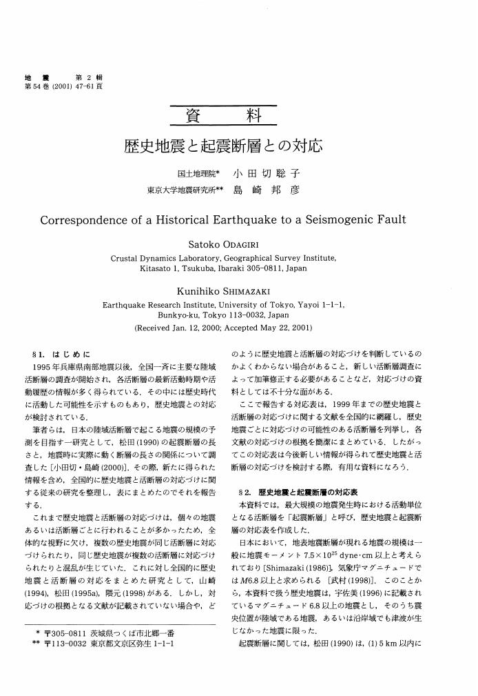
2 0 0 0 OA 歴史地震と起震断層との対応
- 著者
- 小田切 聡子 島崎 邦彦
- 出版者
- 公益社団法人 日本地震学会
- 雑誌
- 地震 第2輯 (ISSN:00371114)
- 巻号頁・発行日
- vol.54, no.1, pp.47-61, 2001-07-15 (Released:2010-03-11)
- 参考文献数
- 79
- 被引用文献数
- 2
1 0 0 0 OA ワシントン州, シアトル断層帯上における完新世海成段丘の高度分布と活断層との関係
- 著者
- 太田 陽子 小田切 聡子 佐々木 寿 向山 栄
- 出版者
- 公益社団法人 日本地震学会
- 雑誌
- 地震 第2輯 (ISSN:00371114)
- 巻号頁・発行日
- vol.58, no.4, pp.385-399, 2006-03-31 (Released:2010-03-11)
- 参考文献数
- 19
A flight of late Holocene marine terrace fringes the central area of Puget Sound, and records uplift over an extensive area above the Seattle fault zone. The E-W trending blind thrust fault zone is a source of major seismic hazards in the Seattle metropolitan area. Gravity and seismic reflection surveys indicate a south- dipping fault plane, but its exact location and timing of past activities were unknown. LiDAR topographic mapping of the Puget lowland revealed several fault scarps on the glacial landscape hidden under the dense forest. We observed the fault, offset on the Holocene marine terrace surface and measured the former shoreline height at 97 locations using LiDAR DEM to map terrace deformation patterns and their relation to the faults. Studied areas include 1) Alki Point, 2) the southern part of Bainbridge Island, and 3) the southeastern Kitsap Peninsula near Port Orchard and southwestern Bainbridge Island. The height of the former shorelines marked by the Holocene terrace changes from ca. 10.7 to 7.3m a. s. l in the west to 12.2 to 10.1m in the east of the Toe Jam Hill fault, and 10.6 to 7.8m in the west to 9.7 to 7.9m in the east of the Waterman Point fault. These changes indicate differential uplift of the terrace surfaces across the faults. There are two newly identified faults in this study. One is the Point Glover fault that is marked by a scarp in the LiDAR map and associated 2m offset of the terrace surface. The other is the South Beach Point fault inferred by the northward tilt of the terrace surface. Because these faults strike E-W, parallel to the main Seattle Fault on its south side, and have south-facing scarps and north-dipping fault planes, they are probably back-thrsuts to the main Seattle Fault. The width of the backthrust zone is at least 4km. The age of the terraces approximately coincides with the most recent faulting event on the surface fault (at least for Toe Jam Hill Fault, ca. 1000yr BP), thus the differential uplift probably occurred simultaneously with fault movement. Although the surface backthrust scarps are less than a few kilometers long and vertical offset is 2-3m, the total amount of uplift reaches about 12m. Subtracting the effect of the vertical displacement and the amount of northward tilting, the uplift of several meters still remains on the Seattle fault zone of over about 4km wide. This broad zone of uplift is not due to the slip on the subsidiary backthrusts, but probably due to the blind thrust of the main Seattle fault. We infer that at least some of the coastal deformation is caused by broad surface upwarping above the Seattle fault and that the upwarping occurred at ca. 1000yrs BP, associated with ruptures on at least three of the backthrusts. The uplift and faulting may represent the largest earthquake in the Puget Sound area during the late Holocene.
