1 0 0 0 OA 「四国海盆及び付近」の3D海底地形図
- 著者
- 八島 邦夫
- 出版者
- 日本地図学会
- 雑誌
- 地図 (ISSN:00094897)
- 巻号頁・発行日
- vol.56, no.3, pp.3_17-3_18, 2018-09-30 (Released:2020-01-24)
- 参考文献数
- 6
1 0 0 0 OA 東京湾北部海上巡検用図
- 著者
- 島上 毅徳
- 出版者
- 日本地図学会
- 雑誌
- 地図 (ISSN:00094897)
- 巻号頁・発行日
- vol.33, no.4, pp.25-26, 1995 (Released:2011-07-19)
1 0 0 0 OA 「和歌山城下町探検マップ」について
1 0 0 0 OA 添付地図
- 出版者
- 日本地図学会
- 雑誌
- 地図 (ISSN:00094897)
- 巻号頁・発行日
- vol.2, no.2, pp.AP1-AP2, 1964-06-30 (Released:2011-07-19)
1 0 0 0 OA シンポジウム「震災とジオメディア」
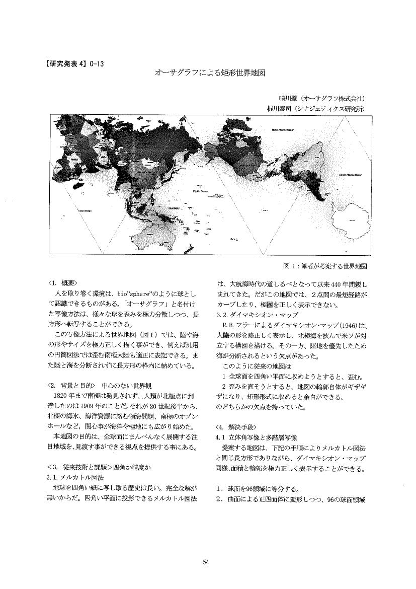
1 0 0 0 OA オーサグラフによる矩形世界地図
1 0 0 0 OA 初期の参謀演習使用地図考
- 著者
- 尾留川 正之
- 出版者
- 日本地図学会
- 雑誌
- 地図 (ISSN:00094897)
- 巻号頁・発行日
- vol.48, no.2, pp.2_11-2_18, 2010 (Released:2015-11-07)
- 参考文献数
- 43
1 0 0 0 OA 作業学習としての外国旅行計画の作成
- 著者
- 林 紀代美
- 出版者
- 日本地図学会
- 雑誌
- 地図 (ISSN:00094897)
- 巻号頁・発行日
- vol.46, no.2, pp.11-18, 2008
1 0 0 0 地図閲覧サービスの立体視システムの開発
1 0 0 0 OA 昭和12年作成・輕井澤町航空測量寫眞圖の「発見」と戦前の写真測量事情
- 著者
- 江川 良武
- 出版者
- 日本地図学会
- 雑誌
- 地図 (ISSN:00094897)
- 巻号頁・発行日
- vol.55, no.1, pp.1_1-1_11, 2017-03-31 (Released:2018-09-12)
- 参考文献数
- 28
An aerialphoto-mosaic of 1/3,000, made in 1937, was discovered in Karuizawa, Nagano prefecture. It was presumably a partial area of regional urban planning maps, and the first finding in townvillage autonomy in Japan. It shows the aerial photogrammetry had been already usual in 1937 rather than special high technology for the urban area. The mosaic was produced by Nippon Kuchusagyo joint-stock company established in 1929, the predecessor of Asahi Koku-kogyo Co. Ltd. It was 7 years earlier than the supposed history of private aero-survey companies in Japan. The monophotogrammetry of the year of 1935's had been already the great innovative technology for the urban planning, etc. which needs large scale maps, although to have been thought to develop just after the World War II.
1 0 0 0 OA 箱根火山における地図の活用
- 著者
- 新井田 秀一 山下 浩之 笠間 友博
- 出版者
- 日本地図学会
- 雑誌
- 地図 (ISSN:00094897)
- 巻号頁・発行日
- vol.49, no.3, pp.3_28-3_37, 2011 (Released:2015-11-07)
- 参考文献数
- 27
Map is one of the most appropriate and synthetic ways of understanding the features of Hakone volcano: landform, surface formulation processes, distribution of volcanic ejecta, and also geo-historical development. Topographic map can show basic geographic information and is useful to many kinds of professional such as civil engineers, forest scientists, naturalists, and land conservationists. Nowadays, the development of remote sensing and GIS have added further valuable information to classical maps. Bird’s eye view map made by satellite image or shading image gives unique and useful views of landscape. Shadow maps, shape maps, and geologic maps are also useful, but in general they are not popular. Therefore, we have tried map-integration among bird’s eye view map and those maps of other types.
1 0 0 0 住居表示と地名についての考察
- 著者
- 前田 吉穂
- 出版者
- 日本地図学会
- 雑誌
- 地図 (ISSN:00094897)
- 巻号頁・発行日
- vol.17, pp.3a-3, 1979
1 0 0 0 町界と住居表示地図:概報
- 著者
- 籠瀬 良明
- 出版者
- 日本地図学会
- 雑誌
- 地図 (ISSN:00094897)
- 巻号頁・発行日
- vol.6, no.2, pp.21-28, 1968
□昭和37年以来, 日本のほとんどの市 (および一部の町村) で, 町界・町名・住居表示の番地についての, 根本的な改変調整事業が進められている。その改変の度合い, 全国的統一性からいって, ある意味では大化改新頃の, 条里制の実施にも匹敵する大事業といっても過言ではない。□従来の町割形態を, 旧城下町に卓越する路線式のものと, 道路などで取囲まれた街画式のものに大別する。その場合, 条里区画の発達する地域では, その区画がどの程度町界に反映するか。□住居表示案内図の構成とルール
1 0 0 0 プロセスインキの耐光度について
1 0 0 0 「米子」地名考
- 著者
- 岩佐 武彦
- 出版者
- 日本地図学会
- 雑誌
- 地図 (ISSN:00094897)
- 巻号頁・発行日
- vol.25, no.1, pp.20-27, 1987
1 0 0 0 逆さ日本地図「東アジア交流地図」
- 著者
- 齊藤 忠光 新田 聡
- 出版者
- 日本地図学会
- 雑誌
- 地図 (ISSN:00094897)
- 巻号頁・発行日
- vol.48, no.2, pp.2_51-2_52, 2010
1 0 0 0 OA 逆さ日本地図「東アジア交流地図」
- 著者
- 齊藤 忠光 新田 聡
- 出版者
- 日本地図学会
- 雑誌
- 地図 (ISSN:00094897)
- 巻号頁・発行日
- vol.48, no.2, pp.2_51-2_52, 2010 (Released:2015-11-07)
1 0 0 0 都バス路線案内「みんくるガイド」について
- 著者
- 佐藤 誠司 小川 哲周
- 出版者
- 日本地図学会
- 雑誌
- 地図 (ISSN:00094897)
- 巻号頁・発行日
- vol.44, no.1, pp.23-25, 2006-03-31
1 0 0 0 逆方位図法:メッカマップの試み
- 著者
- 萩原 康之
- 出版者
- 日本地図学会
- 雑誌
- 地図 (ISSN:00094897)
- 巻号頁・発行日
- vol.23, no.2, pp.1-6, 1985


