5 0 0 0 日本古生物学の回想
- 著者
- 小林貞一 鹿間時夫編
- 出版者
- 日本古生物学会
- 巻号頁・発行日
- 1970
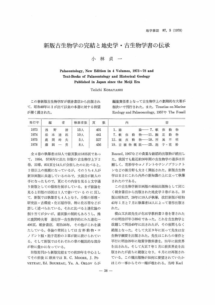
3 0 0 0 OA 新版古生物学の完結と地史学・古生物学書の伝承
- 著者
- 小林 貞一
- 出版者
- Tokyo Geographical Society
- 雑誌
- 地学雑誌 (ISSN:0022135X)
- 巻号頁・発行日
- vol.87, no.5, pp.274-275, 1978-10-25 (Released:2009-11-12)
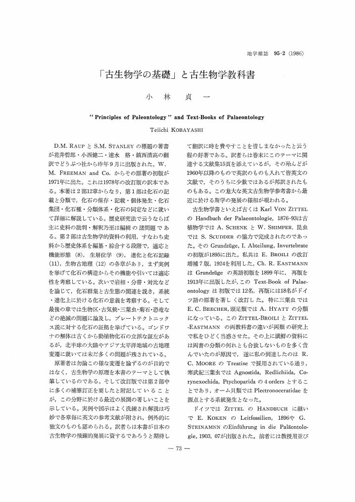
3 0 0 0 OA 「古生物学の基礎」と古生物学教科書
- 著者
- 小林 貞一
- 出版者
- Tokyo Geographical Society
- 雑誌
- 地学雑誌 (ISSN:0022135X)
- 巻号頁・発行日
- vol.95, no.2, pp.143-144, 1986-04-25 (Released:2009-11-12)
3 0 0 0 OA 和泉山脈の和泉砂岩層
- 著者
- 小林 貞一
- 出版者
- 一般社団法人 日本地質学会
- 雑誌
- 地質学雑誌 (ISSN:00167630)
- 巻号頁・発行日
- vol.38, no.459, pp.629-640, 1931-12-20 (Released:2008-04-11)
- 参考文献数
- 13
- 被引用文献数
- 2 3
Lately Mr., C., Kato, teacher of Kishiwada Middle School, informed me with a findeing of new fosseillocalities in the Izumi sandstone series to the south of City Osaka; so I made with him a short trip to those localities., What follow are the chief points ascertained by this trip., 1) Nothing has been known before of the base of the Izumi sandstone series in the Izumi sandstone belt., According to the previous work, it is said that the series is intruded by granite in its western portion and cut by a fault in its eastern portion., But I found at Akiyama a good exposure of the base of the Izumi sandstone series., There the series overlies, uncon formably upon a granitic rock mass., The basal congolmerate bed dipping about 30 degrees to the south, consists mainly of granitic pibbles and arkose cement, both of which must have been derived from the basement rock., Dr., S., Yehara's assumption of the fault-contact between the Izumi sandstone series and the granite mass is not correct, so far as my observation goes., (See the unconformity at Akiyama on Plate IX., ) 2) The Izumi sandstone sereis can be divided into the following (in the ascending order):- 1., Kasaya conglomerate., 2., Asenotani shale., 3., Kinyuji sandstone and conglomerate., 4., Warazuhata shale and sandstone., 5., Tsuzurahata sandstone and conglomerate., The series forms a syncline, running parallel to the Median Dislocation Line, which separates the series from the crystalline schist group in the Outer Zone of Southwestern Japan., 3) The fossile have been never found from this type-locality of the Izumi sandstone series, in contrast to their abandant occurrence at Anaga on the Awaji Island., I found however that the Asenotani shale contain many fossils and serves as a key-bed in the series., The fossils collected form the shale are shown in the table in the Japanese text, of which more important are Gaudryceras tenuiliratum Yabe (Plate X) and Parapachydiscus aff., Egertoni Forbes (Plate XI), the former being known from the Upper., Ammonite Bed of Hokkaido and Sachalin while the latter from the Upper Senonian of India and Europe., As summarized by Professor H., Yabe, the Urakawa, or Japanese Senonian, series overlies unconformably on the Palaeozoic rocks in the Abukuma mountainland and gneiss and crystalline schist in Kyushu., In connection with these facts, the unconformity relation between granite mass and the Izumi sandstone series treated in the present paper may be of significance for the consideration of the Senonian transgression in Japan.,
2 0 0 0 OA 四種の地学雑誌と地学会と会誌の草昧期
- 著者
- 小林 貞一
- 出版者
- Tokyo Geographical Society
- 雑誌
- 地学雑誌 (ISSN:0022135X)
- 巻号頁・発行日
- vol.89, no.6, pp.361-371, 1980-12-25 (Released:2009-11-12)
- 参考文献数
- 59
2 0 0 0 OA 二畳石炭紀の日本産三葉虫群に基づく古生代後期の東亜細亜古地理論
- 著者
- 小林 貞一
- 出版者
- Tokyo Geographical Society
- 雑誌
- 地学雑誌 (ISSN:0022135X)
- 巻号頁・発行日
- vol.98, no.1, pp.34-48, 1989-02-25 (Released:2009-11-12)
- 参考文献数
- 43
- 被引用文献数
- 1 2
In Japan 14 species in 21 genera of Carboniferous trilobites were known in 1980 and 22 species in 11 genera of the Permian ones in 1984. Adding a few species described since then, the Permo-Carboniferous trilobites of Japan total about 70 species at present. They are described from 18 horizons, namely 11 and 7 horizons respectively for the Carboniferous and Permian ones. They are compared with the faunas of the Mongolian geosyncline, Hwangho and Yangtze basins and Southeast Asia. While the Mongolian sea retreated from the west side through the periods, the route of migration was maintained toward the Mediterranean sea through the Himalayan geosyncline until the end of the Palaeozoic era. Some trilobites of Japan reveal relationship further toward the Australian and North American sides.
2 0 0 0 日本古生物学の回想
- 著者
- 小林貞一, 鹿間時夫 編
- 出版者
- 日本古生物学会
- 巻号頁・発行日
- 1970
2 0 0 0 OA 名誉教授の御近況
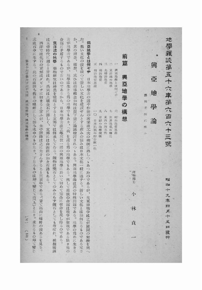
1 0 0 0 OA 興亞地學論
- 著者
- 小林 貞一
- 出版者
- 公益社団法人 東京地学協会
- 雑誌
- 地学雑誌 (ISSN:0022135X)
- 巻号頁・発行日
- vol.56, no.5, pp.151-185, 1944-05-15 (Released:2010-10-13)
1 0 0 0 OA 地史学と古生物学
- 著者
- 小林 貞一
- 出版者
- 日本古生物学会
- 雑誌
- 化石 (ISSN:00229202)
- 巻号頁・発行日
- vol.47, pp.39-46, 1989-12-05 (Released:2017-10-03)
This is an illustration of "Palaeontology and Historical Geology" as two related sciences. The article comprises three chapters on (1) What is Historical Geology?, (2) the Geological Age and the transformation of the biosphere through the age, and (3) the Object and Research Method of Historical Geology.
1 0 0 0 OA 書評
- 著者
- 小林 貞一 高野 道夫 吉田 朋好 一松 信 内田 伏一
- 出版者
- 一般社団法人 日本数学会
- 雑誌
- 数学 (ISSN:0039470X)
- 巻号頁・発行日
- vol.30, no.4, pp.370-375, 1978-11-22 (Released:2008-12-25)
- 参考文献数
- 6
1 0 0 0 16., リベイリヤ類の奧陶紀に於ける世界的分布に就いて
- 著者
- 小林 貞一
- 出版者
- 日本地質学会
- 雑誌
- 地質學雜誌 (ISSN:00167630)
- 巻号頁・発行日
- vol.43, no.512, pp.349-358, 1936-05
- 被引用文献数
- 1
1., 此の類の科の名稱RIbeiridae KOBAYASHI 1933をEopteridae MILLER 1889に改め, 2., RibeirellaとT., chnophorusの共に獨立せる屬なることを述べ, 3., Ribeiria ? prosseri Clarke は此の類に屬せず本種を基本種として二枚介の新屬Schizopectenを樹立し, 4., 南米ボリビア産のTechnophorus otaviensisを記載す。5., 中下部寒武利紀フォーナ中に於いてはHeraultiaの最もRibeiriaに近似する點より此の類がEopteridaeの祖先型系統に近きものと思考す。6., Eopteridaeは上部寒武利亞紀に於いては東亞, 中下部奧陶紀に於いては北はシベリア, 南はタスマニアに發見され, 太平洋兩側に廣く分布し, 中上部奧陶紀に於いては大西洋兩側に多く, 南は南米ボリビアに發見される。7., 中下部寒武利亞紀にVolboithellaあり, 眞正頭足類は上部寒武利亞紀以降に發展すること, Eopteridaeの系統發達と類す, 寒武利奧陶紀のフォーナ中には或時期には太平洋區域に, 次の時代には大西洋區域に發展するが如き態の系統發達をなすもの其の例に乏しからず, 茲に頭足類, Eopteridae, Dikelocephalidaeの三例を擧げて其の一解釋に及ぶ。
1 0 0 0 IR 名誉教授の御近況
1 0 0 0 OA 100万分の一日本地質図第 2 版と揺籃期の日本地質図史
- 著者
- 小林 貞一
- 出版者
- Tokyo Geographical Society
- 雑誌
- 地学雑誌 (ISSN:0022135X)
- 巻号頁・発行日
- vol.88, no.4, pp.264-271, 1979-08-25 (Released:2009-11-12)
- 参考文献数
- 26
1 0 0 0 OA 東亜地質研究史考-中篇
- 著者
- 小林 貞一
- 出版者
- 公益社団法人 東京地学協会
- 雑誌
- 地学雑誌 (ISSN:0022135X)
- 巻号頁・発行日
- vol.95, no.4, pp.225-240, 1986-08-25 (Released:2009-11-12)
- 参考文献数
- 30
- 被引用文献数
- 1
IV. Research in geology of Manchuria i.e. Northeast China was commenced with RICHTHOFEN's trip in its southern part in 1869. In 1895 AHNERT's life work on the geology of Central and North Manchuria was started, and KOCHIBE carried out a preliminary survey in South Manchuria. Since 1923 geological papers of Manchuria were published by Y. C. SUN and others in Bull. Geol. Soc. China from 1923. Geological survey founded in South Manchurian Railway Company published Geological Map of South Manchuria, 1918 and Geology and Mineral Resources of the region, 1929. There are many papers in the regional geology written by Japanese geologists and palaeontologists.Besides late Permian naiads Silurian-Permian marine fossils were discovered in Central and North Manchuria and the Manmo group was proposed for the whole sequence of the Palaeozoic rocks accumulated in the Mongolian geosyncline. It was strongly disturbed by the Permo-Triassic orogeny accompanied by the Mongolian granite with the result that the area was consolidated and united with South Manchuria. Small basins were later brought about there and the large Liao-Sungari basin was produced in the late Mesozoic age. Recent studies by Chinese geologists reveal that the Manmo group comprises Cambrian and Ordovician fossils in its lower part and that it is rich in volcanic materials of different ages. Permian plants and lower and middle Triassic non-marine animals were discovered at some places. Further it is known that sea entered into the eastern part of Heilongjiang province temporarily in the late Triassic, middle-upper Jurassic and Cretaceous ages.V. PUMPELLY's geological reconnaissance in 1863-65 was the first in China, followed by RICHTHOFEN and others including Japanese geologists. The Tokyo Geographic Society published Geological Maps of South and North China and then of Eastern Asia all in 1 by 2 mills, scale in 1920, 1922 and 1929 respectively.According to E. T. CHANG (1922) mining was started in China already in prehistoric age. Chinese classics on stone medicine and related knowledge were imported to Korea and Japan. Among Chinese geologists CHANG was first to write geology of Chekiang, 1911. The Central Geological Survey at Nanking, Department of Geology in the National University of Peking and the Geological Society of China were successively founded in 1916, 1920 and 1922. Since then her geology advanced considerably except for some years from 1966. The research activity, however, became quite explosive from about 1973. The Geological Map of China in scale of 1/4 mills. was compiled in 1976 by the Chinese Academy of Geological ScienceAn outline of Tectonic characteristics of China and the Tectonic Map of China were published by T. K. HUANG and his cooperators in 1977 and 1979 respectively.Supplementary notes are given on the Pentsao and world map (1) and the growth of Asia documented in the expansion of the non-marine facies in the continent (2).
1 0 0 0 アトラス山系の地質瞥見
- 著者
- 小林 貞一
- 出版者
- Tokyo Geographical Society
- 雑誌
- 地学雑誌 (ISSN:0022135X)
- 巻号頁・発行日
- vol.62, no.4, pp.167-171, 1953
1952年9月8日以降1週間に亘り, Algeriaの首都Algerで開催された第19回万国地質学会議に, 私は三土知芳・渡辺武男両氏とともに日本代表として列席する栄誉を得た。この会議前のGeneral Excursion には日本代表3名が参加した。会議後の地質巡検には3名の代表は, それぞれ別の班に加わつた。小林はモロッコの地質巡検C33に参加した。会議前のGeneral Excursion は会議前後約50班の地質巡検中最も大がかりなもので, その指揮者はM. Roubault教授で参加者約300名はChampolion号に便乗して, 8月24日にマルセイユを解纜してから9月7日朝アルゼールに投錨するまでの2週間の間, チュニス・アルゼリアの沿岸地帯を遍歴した。これは大体テルアトラスおよびカビレ海岸山脈に属する地帯で, 高アトラスはその背後に位している。<BR>Les Chaines Littorales Kabyles は主に古い地塊とその被覆層からなり Chaine Calcaire の称がある。Les Chaines telliennes は褶曲山脈である。われわれはまずこの褶曲山脈の北東端をチュニスにおいて見, それからアルゼリアにおいて海岸山脈の基盤変成岩類, その古第三紀被覆層, これを貫ぬく火成岩, 新第三紀以後の火山岩を, そしてアルゼリア西部でテルアトラスを見た。これらの巡検はTunis, Bizerte, Bone, Bougie, Oran などに寄港し, 8台の大型自動車に分乗し, 1日200~300哩を走り要所々々にはとまつて見聞する。連日の巡検は相当の体力を要するので, 老人婦人は分かれて名所見物に行くこともあつた。また時には汽車で山脈を横切り, Onenza鉄山や Constantine の旧都を訪れることもあつた。<BR>会議後のモロッコの地質巡検C33は, L. Neltzner, R. Ambroggi の両氏が指揮者で, 時にはM. Gigoux, R. Bourgin らの諸氏も案内に加わつた。参加者は英国からの3名, フランス本国からの1名, モロッコ地質調査所の婦人1名と小林を合して僅かに6名で, 一行約10数名が2台あるいは3台の自動車に分乗して, 高アトラスおよび後アトラス両山地西部地域層序と地質構造とを巡検した。万国地質学会議が終了すると翌朝早々アルゼールから汽車でオランまで, それから先きは飛行機でCasublancaに至り, 休養して9月18日からSafi, Magador, Agadirなどを経て太平洋岸を南下し, 後アトラス山地西端部を巡つてSous河中流のTaroudantにいで, 高アトラスを越えて旧都Marrakechで1日休養, 再度同山脈を越えてOuarzazateの盆地に行き, Marrakechを経て10月2日夜Rahatに帰つた。この間小林はモロッコ地質調査所および巡検班指揮者の好意によつて, Sout河の南岸後アトラス北方に位するl'Amouslek の下部寒武系層序の検討を行なうために, 案内者とともに2日間 Taroudant から族行團の一行とは別れて特別の地質調査を行つた。そして10月3日4日の両日に調査所所藏の寒武系下部三葉虫を見た。L'Amouslek丘陵地では最近, Redtichia様の三葉虫がOlenellidaeの三葉虫とともに産出するので, 極めて興味ある層序で世界の寒武系研究家間の注目の的となつている。この層序に対する私の所見は, A brief Note on the Lower Cambrian of Morocco としてモロッコ地質調査所から出版されるはずであるからここには省略し, 以下主にモロッコのアトラス山系の地質について述べる。
- 著者
- 小林 貞一
- 出版者
- 日本地質学会
- 雑誌
- 地質學雜誌 (ISSN:00167630)
- 巻号頁・発行日
- vol.42, no.501, pp.369-371, 1935-06


