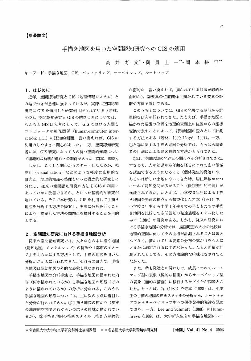
2 0 0 0 OA 手描き地図を用いた空間認知研究へのGISの適用
- 著者
- 高井 寿文 奥貫 圭一 岡本 耕平
- 出版者
- Japan Cartographers Association
- 雑誌
- 地図 (ISSN:00094897)
- 巻号頁・発行日
- vol.41, no.4, pp.27-36, 2003-12-28 (Released:2011-07-19)
- 参考文献数
- 13
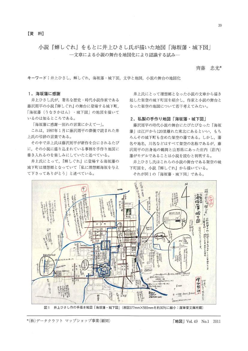
- 著者
- 齊藤 忠光
- 出版者
- 日本地図学会
- 雑誌
- 地図 (ISSN:00094897)
- 巻号頁・発行日
- vol.49, no.1, pp.1_39-1_40, 2011 (Released:2015-11-07)
- 参考文献数
- 5
2 0 0 0 OA 明治初期の勇払基線と苫小牧の発展
- 著者
- 加藤 芳夫
- 出版者
- Japan Cartographers Association
- 雑誌
- 地図 (ISSN:00094897)
- 巻号頁・発行日
- vol.16, no.4, pp.11-16, 1978-12-10 (Released:2011-07-19)
本稿は, 第9回国際地図学会議 (53年7月, ワシントンD. Cメリーランド大学) のために, 国際地図情報センターから提出されたThe First Systematie Base-line and Triangulation Survey in Japan-Yufutsu Base-line Survey in Hokkaido in 1873-をもとに, この基線測量からすでに一世紀を経過した苫小牧の変遷を, 国土地理院の5万分の1地形図によって概観し, 特に戦後, 内陸堀込港湾の造成によって急速なテンポで変貌しているこの地域の様相を描いてみたい。本号の添付地図は, 明治8年開拓使による「三角術測量北海道之図」及び「北海道三角術測量有仏基線之図」であり, 同国際会議に提出したものと同様のものである。国際地図情報センターから筆者への要請は, アメリカで開かれる国際会議であるだけに, 日米の国際親善及び国際交流のための橋渡しの一助となればという意図によるものであった。従って, この古地図の複製にあたっても, 古地図としての歴史的な意義を解明することを目的とするものではなく, より一般的に明治初期の開拓使時代における偉大な事業のひとつとして紹介したものである。
2 0 0 0 OA 幻の昭和19年地図一覧図
- 著者
- 長岡 正利
- 出版者
- 日本地図学会
- 雑誌
- 地図 (ISSN:00094897)
- 巻号頁・発行日
- vol.31, no.4, pp.41-44, 1993-12-31 (Released:2011-07-19)
- 参考文献数
- 7
2 0 0 0 OA ICAにおける「地図」の定義に関するアンケート結果に対する考察
2 0 0 0 OA 測量法の改正
- 著者
- 田中 宏明
- 出版者
- 日本地図学会
- 雑誌
- 地図 (ISSN:00094897)
- 巻号頁・発行日
- vol.40, no.4, pp.11-23, 2003-03-31 (Released:2011-07-19)
- 参考文献数
- 2
2 0 0 0 OA 新発田収蔵遺稿「大清一統図」の考察
- 著者
- 井田 浩三
- 出版者
- 日本地図学会
- 雑誌
- 地図 (ISSN:00094897)
- 巻号頁・発行日
- vol.52, no.2, pp.2_17-2_32, 2014-06-30 (Released:2016-11-17)
- 参考文献数
- 9
The China maps published in Japan during the Edo Period were the republications of the maps made in China. However, at the end of the Edo Period the China maps which reprinted the ones made in the Western countries were published in Japan.One of them was “Map of Daishin Itto Zu” on which German origin and Shibata's manuscripts were written in. While trying to find the origin of the map, the author reached the conclusion that the common belief of previous research was a mistake. A new fact came out. The origin of “Map of Daishin Itto Zu” was a copy of a Chinese version of “Map of the Chinese Empire” attached to the book “The Middle Kingdom”, (first edition, 1847, NY). “Map of the Chinese Empire” was the result of modern China drawings edited by Samuel W. Williams, an evangelist, who lived in China for 40 years.Ginkou Kishida who got acquainted with Samuel W. Williams through J.C. Hepburn, valued “Map of the Chinese Empire” and bought the printing blocks of Shibata's “Map of Daishin Itto Zu”.After correcting some mistakes he published “Map of Daishin Itto Zu” and then adding some place names related to Taiwan troops in 1874, he published “支那全図(Map of the Entire China)”. Also in 1894 when the relation of China and Japan got worse because of war, the city maps of Shanghai and Beijing were inserted and the revised “清国輿地全図(Map of Qing Dynasty)” was published.“Map of Daishin Itto Zu” was a revolutionary one but after “亜細亜東部輿地図(Map of East Asia)” was published in 1875 and “亜細亜全図(Map of the entire Asia)” was published in 1884, its role was over. It was these ten years that “The Middle Kingdom” by Samuel W. Williams was revalued and in 2005 it was translated into Chinese for the first time.The author is looking forward to finding the Chinese version of “Map of Daishin Itto Zu” in the near future.
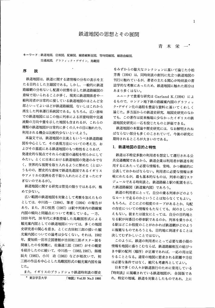
2 0 0 0 OA 鉄道地図の思想とその展開
- 著者
- 青木 栄一
- 出版者
- Japan Cartographers Association
- 雑誌
- 地図 (ISSN:00094897)
- 巻号頁・発行日
- vol.33, no.3, pp.1-12, 1995-09-30 (Released:2011-07-19)
- 参考文献数
- 13
- 被引用文献数
- 1
2 0 0 0 OA 微地形表現に優れた陰陽図
2 0 0 0 OA 地籍集成図について
2 0 0 0 OA 添付地図
- 出版者
- 日本地図学会
- 雑誌
- 地図 (ISSN:00094897)
- 巻号頁・発行日
- vol.25, no.1, pp.AP1-AP1, 1987-03-31 (Released:2011-07-19)
2 0 0 0 OA DEMを用いた尾根線、谷線の抽出
2 0 0 0 学習材における主題図を探る : 教科書・地図帳・参考書での扱い
- 著者
- 志村 喬
- 出版者
- Japan Cartographers Association
- 雑誌
- 地図 (ISSN:00094897)
- 巻号頁・発行日
- vol.46, no.2, pp.19-23, 2008-06-30
- 参考文献数
- 10
2 0 0 0 ソビエトの地名:その起源をたずねて
- 著者
- ゴルバチェビッチ K.C. 跡部 治
- 出版者
- Japan Cartographers Association
- 雑誌
- 地図 (ISSN:00094897)
- 巻号頁・発行日
- vol.11, no.3, pp.1-11, 1973
2 0 0 0 OA 添付地図その2
- 出版者
- 日本地図学会
- 雑誌
- 地図 (ISSN:00094897)
- 巻号頁・発行日
- vol.22, no.2, pp.AP2-AP2, 1984-06-30 (Released:2011-07-19)
2 0 0 0 OA 地図学関連用語略語集 (仮称) 中間発表 (第2回)
- 著者
- 日本国際地図学会地図用語専門部会
- 出版者
- 日本地図学会
- 雑誌
- 地図 (ISSN:00094897)
- 巻号頁・発行日
- vol.41, no.4, pp.51-53, 2003-12-28 (Released:2011-07-19)
2 0 0 0 ポスター「全国を概観した地震動予測地図」について
- 著者
- 橋本 徹夫
- 出版者
- Japan Cartographers Association
- 雑誌
- 地図 (ISSN:00094897)
- 巻号頁・発行日
- vol.45, no.3, pp.16-22, 2007-09-30
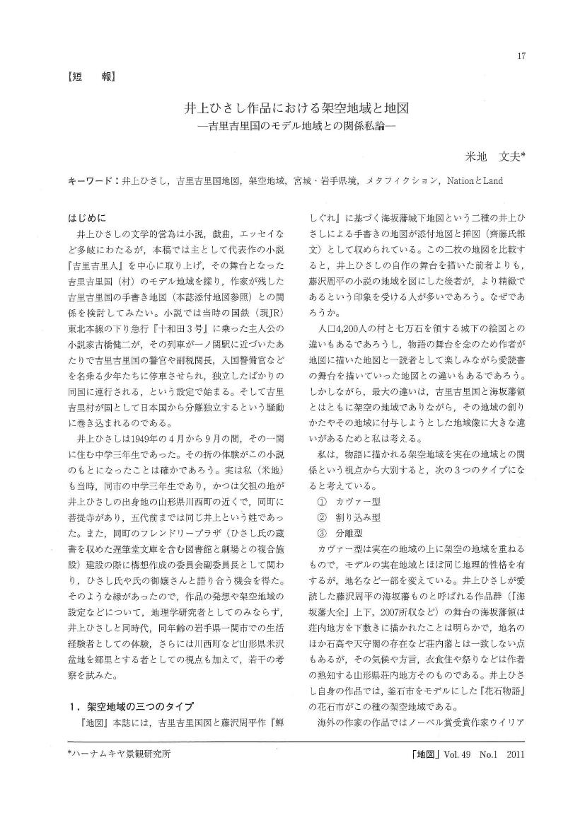
2 0 0 0 OA 井上ひさし作品における架空地域と地図
- 著者
- 米地 文夫
- 出版者
- 日本地図学会
- 雑誌
- 地図 (ISSN:00094897)
- 巻号頁・発行日
- vol.49, no.1, pp.1_17-1_24, 2011 (Released:2015-11-07)
- 参考文献数
- 12
2 0 0 0 OA 「品川湾図」考
- 著者
- 中西 良夫
- 出版者
- 日本地図学会
- 雑誌
- 地図 (ISSN:00094897)
- 巻号頁・発行日
- vol.6, no.4, pp.19-23,18, 1968-12-31 (Released:2011-07-19)
- 参考文献数
- 1
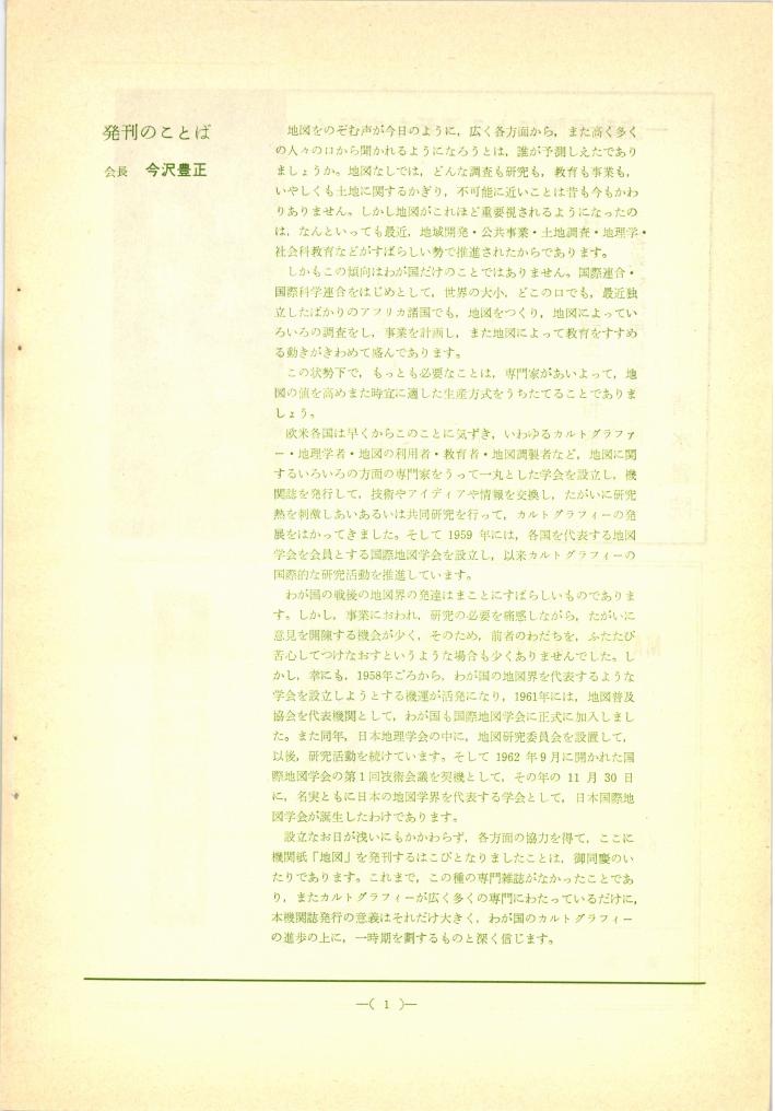
2 0 0 0 OA 発刊のことば
- 著者
- 今沢 豊正
- 出版者
- 日本地図学会
- 雑誌
- 地図 (ISSN:00094897)
- 巻号頁・発行日
- vol.1, no.1, pp.1-1, 1963-04-25 (Released:2011-07-19)
