1 0 0 0 OA 海底地形名の命名・統一に関する国内外の取り組みとその意義
- 著者
- 八島 邦夫
- 出版者
- 日本地図学会
- 雑誌
- 地図 (ISSN:00094897)
- 巻号頁・発行日
- vol.51, no.4, pp.11-18, 2013 (Released:2016-11-17)
- 参考文献数
- 9
1 0 0 0 『イマゴ・ムンディ』誌半世紀の歩みとわが国
- 著者
- 海野 一隆
- 出版者
- 日本地図学会
- 雑誌
- 地図 (ISSN:00094897)
- 巻号頁・発行日
- vol.26, no.3, pp.1-6, 1988
1 0 0 0 湖沼図の設計に関する二・三の問題
- 著者
- 小谷 昌
- 出版者
- 日本地図学会
- 雑誌
- 地図 (ISSN:00094897)
- 巻号頁・発行日
- vol.6, no.3, pp.7-13_2, 1968
昭和30年夏, 琵琶湖湖南水域において, H. S型精密測深機を使用して湖沼調査を実施し, 湖底地形・底質・水中植生・湖岸構造物など陸水地理的な内容を総合的にあらわした, 1万分1湖沼図琵琶湖湖南水域I・IIの2図葉を作成した。基本測量にもとづく湖沼図の第1号であるが, 同年3月には筆者らの指導のもとに静岡県が浜名湖の深浅測量図を作成した。これも同種の音響測深機を使用し, 音響測深法による完全な公共測量の形式をそなえた最初のものであった。<BR>敗戦のもたらした深刻な食糧工・エネルギー資源不足の対策と, 荒廃した国土の災害保全を推進するため国土総合開発法が制定されたのは昭和25年5月であった。<BR>湖沼図がこのような時代的背景のもとに, 河川・湖沼など, 基本図の空白部を埋める目的以外に, 国土総合開発計画の基本的な資料として十分その効果を発揮できるよう, 設計上の考慮がはらわれていることはすでにのべた。<BR>このようにきわめて明快な目的設定のもとに湖沼図像のアウトラインの素描がおこなわれた。等深線であらわされる湖底地形は単なる湖水の深浅や, 水面下の土地の凹凸の忠実な表現ではなく, 地形営力 (湖水の運動など) の総和であり, 底質や水中植生と密接な関係を有し, 水産生物環境の重要な部分をしめている。漁港や舟溜り, 漁業組合などの図上表示は漁労および流通の拠点を, 揚水ポンプ場と関連水路の分布は湖水の逆水灌漑 (農業用水) 地域をそれぞれあらわすものである。<BR>湖沼図の構成要素のうちもっとも基本的な等深線については如上の目的に適合させるため, 従来の挿入法によらず, 測線のネットワークから音測記録の解析, 等深線の図化にいたる新らしい作業システムを考案し, 机上実験による方法論の確立をこころみた。次いで予備設計, 現地作業の工程を経て琵琶湖湖南水域の湖沼図の試作図を完成印刷した。試作図は直ちに各省, 県, その他関係諸機関および大学などに配布し, アンケートをとり, 一方学識経験者および水資源開発担当官15名による意見聴取会を開催し, ユーザーの立場における試作図の検討をおこなった。<BR>ヒアリングおよびアンケートの結果はユーザーの側から試作図に対する補足的な要望と, 読図理解の難易という二点に関する再検討資料として活用し, 予備設計の部分的な修正をおこなった。とくに湖沼図はその性質上対象ユーザーの想定階層をきわめ広範にとってあるため, 図の構成要素を重点的にしぼり, 図の"読み易さ"に相当の比重をかけ, いたずらに煩瑣になることをさけた。<BR>しかし湖沼図は縮尺の制約をうけ, 多用途という基本図的性格をもつものである以上, ヒアリングやアンケートの結果をそのまま反映させるわけにはいかない。たとえば透明度や水色・水質など流動性に富み周年観測を必要とするもの, あるいは水産生物の自然繁殖地点とその優先種などの表示の希望が出されたが, これは明らかに湖沼図とは別個な調査研究の体系に属するものである。また図式の構成やレイアウトなど少なくともカルトグラフィーの範ちゆうに属する事項についても, もとよりヒアリングやアンケートの対象にはしなかった。
1 0 0 0 世界各国の地形図整備状況と西欧6カ国における地形図の縮尺体系
- 著者
- 保谷 睦子
- 出版者
- 日本地図学会
- 雑誌
- 地図 (ISSN:00094897)
- 巻号頁・発行日
- vol.21, no.2, pp.31-38, 1983
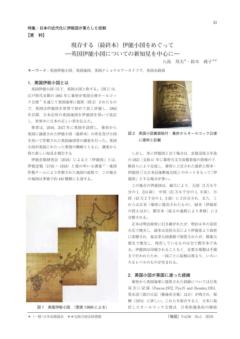
1 0 0 0 OA 現存する(最終本)伊能小図をめぐって ―英国伊能小図についての新知見を中心に―
1 0 0 0 江戸初期の紅毛流測量術
- 著者
- 木全 敬蔵
- 出版者
- 日本地図学会
- 雑誌
- 地図 (ISSN:00094897)
- 巻号頁・発行日
- vol.36, no.4, pp.15-23, 1998
1 0 0 0 世界と日本における海域名「日本海」の生成・受容・定着過程
- 著者
- 中村 康子
- 出版者
- 日本地図学会
- 雑誌
- 地図 (ISSN:00094897)
- 巻号頁・発行日
- vol.50, pp.38-39, 2012
- 著者
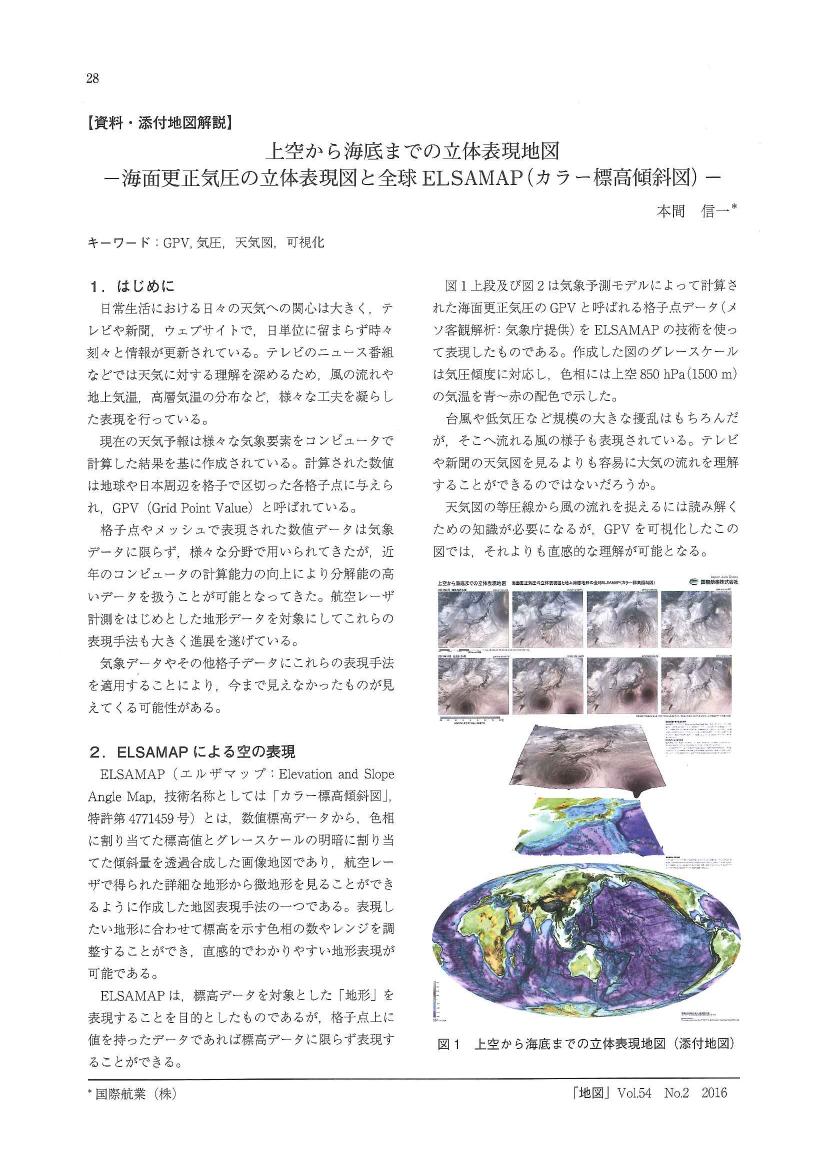
- 本間 信一
- 出版者
- 日本地図学会
- 雑誌
- 地図 (ISSN:00094897)
- 巻号頁・発行日
- vol.54, no.2, pp.2_28-2_30, 2016-06-30 (Released:2017-12-25)
1 0 0 0 OA 参加型地図記号設計の可能性公募デザインによる国土地理院の新しい地図記号について
- 著者
- 亀井 福次
- 出版者
- 日本地図学会
- 雑誌
- 地図 (ISSN:00094897)
- 巻号頁・発行日
- vol.44, no.Supplement, pp.44-45, 2006-09-30 (Released:2011-07-19)
- 著者
- 関口 正雄
- 出版者
- 日本地図学会
- 雑誌
- 地図 (ISSN:00094897)
- 巻号頁・発行日
- vol.8, no.3, pp.13-17, 1970
1 0 0 0 ラ・ペルーズの太平洋航海記
- 著者
- 小林 忠雄
- 出版者
- 日本地図学会
- 雑誌
- 地図 (ISSN:00094897)
- 巻号頁・発行日
- vol.19, no.1, pp.24-27, 1981
1 0 0 0 世界と日本における海域名「日本海」の生成・受容・定着過程
- 著者
- 谷治 正孝
- 出版者
- 日本地図学会
- 雑誌
- 地図 (ISSN:00094897)
- 巻号頁・発行日
- vol.40, no.1, pp.1-12, 2002
1 0 0 0 OA 伊能図利用の軌跡
- 著者
- 鈴木 純子
- 出版者
- 日本地図学会
- 雑誌
- 地図 (ISSN:00094897)
- 巻号頁・発行日
- vol.56, no.1, pp.1_9-1_23, 2018-03-31 (Released:2019-06-17)
- 参考文献数
- 27
Inô-zu were the first accurate scientific survey maps of the entire coastline of Japanese archipelago officially presented to the shogun in 1821.It is generally said that the shogun shelved them in his library, and it was until the closing days of the Edo period nearly a half century later, that Inô-zu began to be utilized and appreciated. The donation of the small scale series of Inô-zu to the British fleet in 1861, and the official publication of them in 1867 were the scarce case known as its utilization under the Tokugawa Shogunate.However there were some cases other than the examples above showing the vestiges of the utilization of Inô-zu, such as the case of Sado Kuniezu (Provincial map of Sado) in the years of 1835-1836, the investigation of the coast of Edo bay for its security by officers of foreign affairs of the shogunal government in 1849, the coastal survey of Ise Bay in 1861 by the officers of the Navy, and some printed maps published in the same period. These examples show that the utilization of Inô-zu was not such strictly restricted as it has been long thought of. It seems that the each case properly take advantage of the feature of Inô-zu of accurately surveyed coastal maps.After Meiji Restoration Inô-zu served as bases and important data sources to meet the urgent needs of accurate scientific maps and charts and of the source of compilation of historiography and topography of Japan.According to several historical documents at that time, we know the Map of Japan(1:432,000 compiled by the Dajokan-Seiin(Grand Council of Japan)presented to the International Exhibition held at Vienna in 1873 was the first and the most prominent accomplishment of the modern style map based on Inô-zu. Unfortunately we can no longer trace its appearance because the map seems to have been lost now.Subsequently the utilization of the Inô-zu as the basic information has followed soon at official agencies such as the Bureau of Historiography, the Geographical Bureau, Ministry of Education, then prevailed widely in private enterprises. Inô-zu was also used as the base map for investigations of geology, soil, mines and so on.We can draw the conclusion from this review mentioned above that the appreciation of the basic property of Inô-zu : accurate coastal survey with graticule has been common understanding of those who utilized Inô-zu to develop their maps.
1 0 0 0 OA 改正日本輿地路程全図(赤水図)の改版過程について
- 著者
- 海田 俊一
- 出版者
- 日本地図学会
- 雑誌
- 地図 (ISSN:00094897)
- 巻号頁・発行日
- vol.55, no.3, pp.3_10-3_17, 2017-09-30 (Released:2019-06-17)
- 参考文献数
- 10
1 0 0 0 第46回地方大会(今治市)報告
- 著者
- 今井 健三 矢野 均 秦 和夫 伊藤 等 高橋 美江
- 出版者
- Japan Cartographers Association
- 雑誌
- 地図 (ISSN:00094897)
- 巻号頁・発行日
- vol.50, no.4, pp.4_11-4_21, 2013
1 0 0 0 OA 長久保赤水の日本地図編集について
- 著者
- 長久保 光明
- 出版者
- Japan Cartographers Association
- 雑誌
- 地図 (ISSN:00094897)
- 巻号頁・発行日
- vol.7, no.3, pp.32-40, 1969-09-30 (Released:2011-07-19)
- 参考文献数
- 17
- 被引用文献数
- 1
1 0 0 0 OA 「大江戸地理空間図」でみる山手線と大江戸線
- 著者
- 正井 泰夫
- 出版者
- 日本地図学会
- 雑誌
- 地図 (ISSN:00094897)
- 巻号頁・発行日
- vol.39, no.2, pp.27, 2001-08-10 (Released:2011-07-19)
1 0 0 0 OA 江戸初期の紅毛流測量術
- 著者
- 木全 敬蔵
- 出版者
- Japan Cartographers Association
- 雑誌
- 地図 (ISSN:00094897)
- 巻号頁・発行日
- vol.36, no.4, pp.15-23, 1998-12-30 (Released:2011-07-19)
- 参考文献数
- 18
1 0 0 0 イラスト地図読者の視覚的注目点のシミュレーション手法
- 著者
- 佐藤 史弥 有川 正俊 WU Hsiang-Yun 高橋 成雄 今井 浩
- 出版者
- 日本地図学会
- 雑誌
- 地図 (ISSN:00094897)
- 巻号頁・発行日
- vol.54, pp.34-35, 2016


