- 著者
- 松野 哲男 巽 好幸 島 伸和 鈴木 桂子 市原 寛 清杉 孝司 中岡 礼奈 清水 賢 佐野 守 井和丸 光 両角 春寿 杉岡 裕子 中東 和夫 山本 揚二朗 林 和輝 西村 公宏 古川 優和 堀内 美咲 仲田 大地 中村 崚登 廣瀬 時 瀬戸 康友 大重 厚博 滝沢 秀明 千葉 達朗 小平 秀一
- 出版者
- 日本地球惑星科学連合
- 雑誌
- 日本地球惑星科学連合2018年大会
- 巻号頁・発行日
- 2018-03-14
We started integrated marine investigations of Kikai Caldera with T/S Fukae-maru of Kobe University on October, 2016. Aims of our investigations are to reveal the structure of the caldera, the existence of magma reservoir, and to understand the mechanism of catastrophic caldera-forming eruption at 7.3 ka and a potential for a future catastrophic eruption. We conducted multi-beam echo sounder mapping, multi-channel seismic reflection (MCS) surveys, remotely operated vehicle (ROV) observations, rock sampling by dredging and diving, geophysical sub-seafloor imaging with ocean bottom seismometers, electro-magnetometers (OBEMs), some of which equip absolute pressure gauge, ocean-bottom magnetometers, and surface geomagnetic surveys.The first finding of our investigations is lines of evidence for creation of a giant rhyolite lava dome (~32 km3) after the caldera collapse. This dome is still active as water column anomalies accompanied by bubbling from its surface are observed by the water column mapping. Chemical characteristics of dome-forming rhyolites akin to those of presently active small volcanic cones are different from those of supereruption. The voluminous post-caldera activity is thus not caused simply by squeezing the remnant of syn-caldera magma but may tap a magma system that has evolved both chemically and physically since the 7.3-ka supereruption.We have been conducting integrated analyses of our data set, and have planned the fourth research cruise with T/S Fukae-maru on March, 2018, consisting of MCS survey, ROV observation, OBEM with absolute pressure gauge observation, and bathymetric and surface geomagnetic survey. We will introduce results of the data analyses and the upcoming cruise in the presentation.
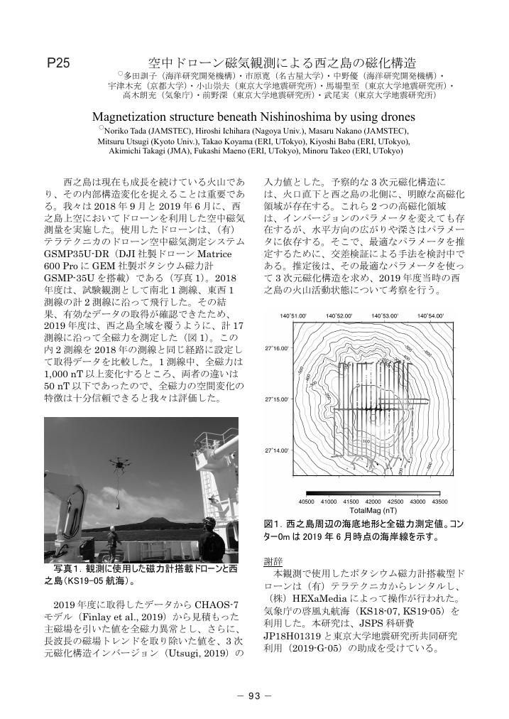
1 0 0 0 OA 空中ドローン磁気観測による西之島の磁化構造
- 著者
- 多田 訓子 市原 寛 中野 優 宇津木 充 小山 崇夫 馬場 聖至 高木 朗充 前野 深 武尾 実
- 出版者
- 特定非営利活動法人 日本火山学会
- 雑誌
- 日本火山学会講演予稿集 2020 (ISSN:24335320)
- 巻号頁・発行日
- pp.93, 2020 (Released:2021-02-01)
1 0 0 0 OA 重力異常およびボーリング資料による松山平野北部,堀江低地の地下構造
- 著者
- 市原 寛 榊原 正幸 大野 一郎
- 出版者
- 日本地質学会
- 雑誌
- 地質學雜誌 (ISSN:00167630)
- 巻号頁・発行日
- vol.110, no.12, pp.746-757, 2004-12-15
- 被引用文献数
- 1 1
四国北西部に存在する南北系の地形構造の一つ,松山平野"堀江低地"について,重力異常探査および既存のボーリング資料により検討を行った.ボーリング資料より,低地下に東落ちの基盤深度の不連続帯およびこれに向かって急傾斜する堆積層の地層境界面の存在が明らかになった.また,重力探査によると,明瞭な負のブーゲー異常帯が低地とほぼ平行に存在することが明らかになり,その西端部の急変帯は上記の基盤深度の不連続帯によることが解明された.これらのデータより,走向が北北西-南南東で,東落ちの堀江断層が低地下に伏在すると推定される.堀江断層は正断層成分を持ち,堀江低地下に堆積盆を形成しており,南方の中央構造線活断層系の分布域まで延長されると考えられる.堀江断層は,少なくとも更新世には活動していたと推定される.

