1 0 0 0 OA 静止軌道からの大型分割望遠鏡による高時間中空間分解能地球観測
- 著者
- 木村 俊義
- 出版者
- 一般社団法人 日本リモートセンシング学会
- 雑誌
- 日本リモートセンシング学会誌 (ISSN:02897911)
- 巻号頁・発行日
- vol.41, no.2, pp.282-286, 2021-05-15 (Released:2021-08-25)
- 参考文献数
- 3
- 被引用文献数
- 1
In the history of Japanese Earth-observation satellites, technical improvements have made it possible to obtain images approximately 100 times finer than those of 40 years ago. This means that even geostationary orbit satellites, which are 60 times farther away than ordinary sun-synchronous low-orbit satellites, could now be capable of useful spatial resolution. With this in mind, the Japan Aerospace Exploration Agency (JAXA) seeks to achieve high temporal resolution image acquisition with useful spatial resolution. The new high temporal resolution satellite images are expected to be used for disasters, agriculture, coastal management, forest management, etc. For this purpose, JAXA has taken on the challenge to develop a geostationary satellite with a large segmented telescope. The main mirror will have a diameter of 3.6 m and will use the active optics technique, which will yield a ground resolution of approximately 7 m with a 100-km2 field of view at nadir. It will be equipped with 7 bands from visible to near-infrared, plus one thermal infrared band. A one-segment mirror subsystem proto-model with actuator and sensor is under production and evaluation as the key technology for the large segmented telescope. An all-electric propulsion satellite bus system is under consideration as a means of supporting the heavy weight of the telescope. Additional factors that are also currently under study include adding to the propulsion system, quick pointing ability, pointing stability, precise pointing determination, and the establishment of a ground station to maintain a latency of 30 minutes for image acquisition and delivery.
1 0 0 0 OA 浸水実験施設を用いたALOS-2コヒーレンス画像による建物浸水抽出手法の実証
- 著者
- 大木 真人 夏秋 嶺 青山 定敬 田殿 武雄
- 出版者
- 一般社団法人 日本リモートセンシング学会
- 雑誌
- 日本リモートセンシング学会誌 (ISSN:02897911)
- 巻号頁・発行日
- pp.2021.075, (Released:2022-04-16)
- 参考文献数
- 27
Increasing human and economic losses due to urban floods demand rapid flood monitoring using synthetic aperture radar (SAR). In a global first, this study conducted simultaneous experiments using a flood experimental field that can reproduce the conditions of submerged buildings and satellite monitoring using the L-band SAR aboard the Advanced Land Observing Satellite-2 (ALOS-2). Through these experiments, we investigated the relationships among the threshold of interferometric coherence, the accuracy of urban flood detection, the multi-look number in interferometric processing, and floodwater depth. To achieve a better understanding of our experimental results, we also performed theoretical coherence simulations. Our results revealed that the coherence and flood detection accuracy statistically depends on the multi-look number and that 3×3 looks are needed to obtain reasonable accuracy. We also found that coherence-based change detection can detect urban floods with a depth of as little as 6 cm. There was no clear correlation between coherence and water depth. We also performed urban flood detection using ALOS-2 data from observed flood events; the results proved the validity of our theory and its applicability to actual disaster activities. Our findings enable robust urban flood monitoring and contribute to disaster prevention and mitigation.SAR, PALSAR-2, disaster monitoring, flooding, interferometry
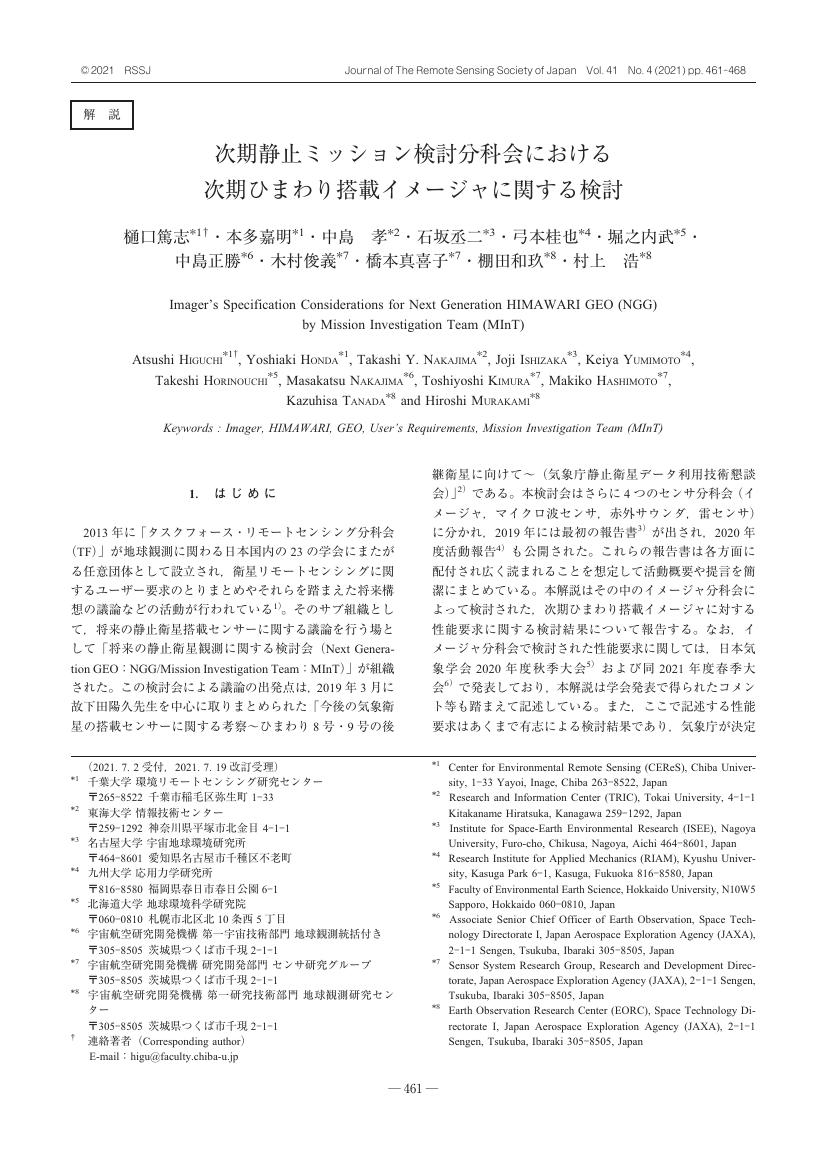
1 0 0 0 OA 次期静止ミッション検討分科会における次期ひまわり搭載イメージャに関する検討
- 著者
- 樋口 篤志 本多 嘉明 中島 孝 石坂 丞二 弓本 桂也 堀之内 武 中島 正勝 木村 俊義 橋本 真喜子 棚田 和玖 村上 浩
- 出版者
- 一般社団法人 日本リモートセンシング学会
- 雑誌
- 日本リモートセンシング学会誌 (ISSN:02897911)
- 巻号頁・発行日
- vol.41, no.4, pp.461-468, 2021-09-20 (Released:2022-01-13)
- 参考文献数
- 49
- 著者
- 小林 秀樹
- 出版者
- 一般社団法人 日本リモートセンシング学会
- 雑誌
- 日本リモートセンシング学会誌 (ISSN:02897911)
- 巻号頁・発行日
- vol.38, no.2, pp.125-130, 2018-04-20 (Released:2018-10-28)
- 参考文献数
- 5
Google Earth Engine (GEE) is a cloud-based geospatial data analysis platformfor educational and research purposes. Without familiarity with super-computingarchitecture, users are able to process massive geospatial data sets on GEE. This article describes the characteristics of GEE and some examples of Landsatdata analysis.
- 著者
- 真鍋 淑郎
- 出版者
- 一般社団法人 日本リモートセンシング学会
- 雑誌
- 日本リモートセンシング学会誌 = Journal of the Remote Sensing Society of Japan (ISSN:02897911)
- 巻号頁・発行日
- vol.21, no.4, pp.366-372, 2001-09-28
- 参考文献数
- 8
- 被引用文献数
- 1
大気・海洋結合モデルの数値実験によると,21世紀末ころには地表の全球平均気温は現在より2~3℃程度上がる。昇温は,陸面で更に大きくなると予測される。また,半乾燥地帯の土壌水分が減少し,砂漠が拡張しそうである。二酸化炭素などを規制せずに放出し続ければ,数百年先に大気の二酸化炭素濃度が,今の4倍位になり,非常に大きな気候の変化がおこる可能性が大きい。これからは,温暖化に伴う全球的変化の検出,放射強制力を持っ温室効果ガス,エアロゾル等の分布決定,モデルに組み込まれた色々な素過程の検証等にRemote Sensingが増々重要になるであろう。
- 著者
- 佐藤 正樹
- 出版者
- 一般社団法人 日本リモートセンシング学会
- 雑誌
- 日本リモートセンシング学会誌 (ISSN:02897911)
- 巻号頁・発行日
- vol.41, no.2, pp.133-139, 2021-05-15 (Released:2021-08-25)
- 参考文献数
- 16
We propose a collaboration study between numerical models and ground remote-sensing observation data over the metropolitan area of Tokyo. The initiative is called ULTIMATE (ULTra-sIte for Measuring Atmosphere of Tokyo metropolitan Environment), in which using an intensive observation data in the Tokyo area together with satellite observations, cloud microphysics schemes of numerical models are evaluated and improved. We have various kinds of remote sensing data by radars and lidars in the Tokyo area both for operational and research purposes.In particular, we will consider the use of observation data planned for ground validation of the EarhCARE satellite, which is scheduled to be launched in FY2022. We will also use the dual-polarization Doppler weather radar, which is now in operation at the Japan Meteorological Agency. As for the numerical models, we will consider the use and comparison of several models. We particularly focus on the evaluation and improvement of the Non-hydrostatic Icosahedral Atmospheric Model (NICAM), which can be used seamlessly on both global and regional domains, allowing us to quickly test the improved scheme on a global scale, compare it with satellite observations, and estimate climate sensitivity. In addition, this study aims to improve short time forecasts for several hours and beyond by improving the cloud microphysics scheme by using the local model “asuca” of the Japan Meteorological Agency.
1 0 0 0 OA 「第26回 積雪の光学リモートセンシング」
- 著者
- 堀 雅裕
- 出版者
- 一般社団法人 日本リモートセンシング学会
- 雑誌
- 日本リモートセンシング学会誌 (ISSN:02897911)
- 巻号頁・発行日
- vol.37, no.5, pp.461-465, 2017-11-20 (Released:2018-05-24)
- 参考文献数
- 14
1 0 0 0 OA 日本海を漂流する海ゴミの監視
- 著者
- 青山 隆司
- 出版者
- 一般社団法人 日本リモートセンシング学会
- 雑誌
- 日本リモートセンシング学会誌 (ISSN:02897911)
- 巻号頁・発行日
- vol.39, no.2, pp.133-136, 2019-04-20 (Released:2019-10-21)
- 参考文献数
- 5
1 0 0 0 合成開口レーダーによる日本列島の地熱資源調査
- 著者
- 陶山 淳治 石井 吉徳 山口 靖 鎌田 浩毅 長谷 絋和 小川 克郎
- 出版者
- 一般社団法人 日本リモートセンシング学会
- 雑誌
- 日本リモートセンシング学会誌 (ISSN:02897911)
- 巻号頁・発行日
- vol.2, no.4, pp.57-65_9, 1982
This paper reviews the method and results of the airborne SAR survey which was conducted by NEDO (New Energy Development Organization) as a part of the Nation-Wide Geothermal Survey Project. The whole Japanese Islands except IzuOgasawara Islands were covered by non-stereo/west-look SAR images. In addition to this, main geothermal area was covered by non-stereo/northlook images and Izu peninsula was covered by stereo/north and west-look images. The SAR holographic date was processed through an optical correlator to present the mosaic image of scale 1 : 200, 000. The geological and geothermal interpretation of the images are now under progress.<BR>This paper presents several SAR images as well as maps produced from SAR images. Some technical problems arisen during the data acquisition (flight) are also presented.
1 0 0 0 OA GOSAT-2により観測される太陽光励起クロロフィル蛍光の概要と将来の展望
- 著者
- 野田 響 吉田 幸生 押尾 晴樹 宮内 達也
- 出版者
- 一般社団法人 日本リモートセンシング学会
- 雑誌
- 日本リモートセンシング学会誌 (ISSN:02897911)
- 巻号頁・発行日
- vol.39, no.1, pp.57-60, 2019-02-28 (Released:2019-08-01)
- 参考文献数
- 20
1 0 0 0 OA 屋久島における航空レーザデータを使用した超巨大屋久スギ抽出の試み
- 著者
- 前田 佳子 本田 謙一 引地 慶多 廣瀬 葉子
- 出版者
- 一般社団法人 日本リモートセンシング学会
- 雑誌
- 日本リモートセンシング学会誌 (ISSN:02897911)
- 巻号頁・発行日
- vol.40, no.3, pp.135-140, 2020-07-20 (Released:2021-01-06)
- 参考文献数
- 2
According to legend, Yakushima still has the giant tree that larger than Jomon-sugi. To search for this legendary giant tree, we used aerial LiDAR data to estimate the distribution area of the giant tree. In the analysis using low-density LiDAR data, the factors related to the distribution of the giant tree were elevation, tree height, tree crown area, tree species and topography, and the giant trees were extracted from these elements. In the analysis using the high-density laser, the factors related to the distribution of giant cedar were set as the gap in the forest and the gentle slope of the valley. We extracted these elements from voxel analysis and estimated the distribution of giant trees.
1 0 0 0 OA 日本における農業リモートセンシング研究の軌跡
- 著者
- 齋藤 元也 石塚 直樹 坂本 利弘
- 出版者
- 一般社団法人 日本リモートセンシング学会
- 雑誌
- 日本リモートセンシング学会誌 (ISSN:02897911)
- 巻号頁・発行日
- vol.37, no.3, pp.193-203, 2017-07-21 (Released:2018-01-31)
- 参考文献数
- 97
- 被引用文献数
- 2
With the advent of new remote-sensing platforms and sensors such as drones, Synthetic Aperture Radar (SAR), high-frequency observation satellites, etc., remote sensing technology is now being used to elucidate or resolve many agriculture-related issues from global food security to precision farming. This article looks back on the trajectory of the remote sensing studies on agriculture in Japan and reviews the results of studies published mainly by researchers at agricultural research institutes in four time periods since the late 1970 s, which we refer to as the “dawn and infancy period”, “development period”, “establishment period”, and “present”.
1 0 0 0 OA 森林整備事業の申請・検査におけるリモートセンシング技術等の活用について
- 著者
- 諏訪 実
- 出版者
- 一般社団法人 日本リモートセンシング学会
- 雑誌
- 日本リモートセンシング学会誌 (ISSN:02897911)
- 巻号頁・発行日
- vol.40, no.1, pp.26-31, 2020-01-31 (Released:2020-07-07)
- 参考文献数
- 13
The Forestry Agency plans to revise afforestation grant program rules to allow to use various remote sensing data in application and inspection of the grant procedure. Under the new rules, grant applicants can submit, for example, UAV orthophotos and GIS data instead of printed pictures or paper maps. Inspection is conducted with the submitted data. Efficient grant operation and GIS application in forest management and forestry are expected.
1 0 0 0 OA LANDSAT8衛星画像による道有林の風倒被害解析と被害把握への活用
- 著者
- 菅野 正人 阿部 友幸
- 出版者
- 一般社団法人 日本リモートセンシング学会
- 雑誌
- 日本リモートセンシング学会誌 (ISSN:02897911)
- 巻号頁・発行日
- vol.40, no.1, pp.32-37, 2020-01-31 (Released:2020-07-07)
- 参考文献数
- 5
In October 2015, Typhoon 201523 created very strong winds in central Hokkaido, Japan, causing windfall forest damage in Hokkaido prefectural forests. To assess the windfall damage quickly, we applied remote-sensing techniques using LANDSAT8 images (resolution 30 m) to estimate the distribution and area of the windfall damage and gave the results to relevant organizations. We could evaluate large-scale (≥1 ha) windfall damage, and we found that the LANDSAT8 analysis results helped to reduce the effort required in field surveys.
1 0 0 0 OA GOSATシリーズのプロダクト検証について
- 著者
- 森野 勇 内野 修
- 出版者
- 一般社団法人 日本リモートセンシング学会
- 雑誌
- 日本リモートセンシング学会誌 (ISSN:02897911)
- 巻号頁・発行日
- vol.39, no.1, pp.37-42, 2019-02-28 (Released:2019-08-01)
- 参考文献数
- 40
GOSAT product validation activities and future issues are described in this article. An overview of the GOSAT-2 validation plan is also given. The present main ideas of acquiring validation data for the GOSAT-2 are the same as those for the GOSAT. The TANSO-FTS-2 SWIR L2 products of the column-averaged dry-air mole fractions of CO2, CH4, CO, H2O were obtained as follows. Ground-based high-resolution Fourier transform spectrometer data of the TCCON (Total Carbon Column Observing Network) and NDACC IRWG (Network for the Detection of Atmospheric Composition Change-InfraRed Working Group) sites will be used, and some sites will be co-located with lidar and sky-radiometer systems for extensive validation data acquisition. In-situ measurements and/or sampling of CO2, CH4, and CO onboard commercial and charter aircraft by CONTRAIL (Comprehensive Observation Network for TRace gases by AIrLiner) and NOAA (National Oceanic and Atmospheric Administration) will also be employed. The National Institute for Environmental Studies (NIES) validation team, organizations responsibly participating in the GOSAT series project, and research teams selected through Research Announcement will conduct the validation of the products.
1 0 0 0 OA 深層学習を用いた衛星画像の超解像手法
- 著者
- 川嶋 一誠 中村 良介
- 出版者
- 一般社団法人 日本リモートセンシング学会
- 雑誌
- 日本リモートセンシング学会誌 (ISSN:02897911)
- 巻号頁・発行日
- vol.38, no.2, pp.131-136, 2018-04-20 (Released:2018-10-28)
- 参考文献数
- 11
This paper presents a super resolution (SR) method for satellite imagery based on deep learning. From this preliminary study, we found that the performance of SR strongly depends on the variety of the training data set. A new strategy that combines SR and selection is proposed to improve the accuracy and flexibility of the method.
1 0 0 0 OA 雲エアロゾル放射ミッション「EarthCARE」
- 著者
- 菊池 麻紀 沖 理子 久保田 拓志 吉田 真由美 萩原 雄一朗 高橋 千賀子 大野 裕一 西澤 智明 中島 孝 鈴木 健太郎 佐藤 正樹 岡本 創 富田 英一
- 出版者
- 一般社団法人 日本リモートセンシング学会
- 雑誌
- 日本リモートセンシング学会誌 (ISSN:02897911)
- 巻号頁・発行日
- vol.39, no.3, pp.181-196, 2019-07-20 (Released:2020-01-20)
- 参考文献数
- 66
The Earth, Clouds, Aerosols and Radiation Explorer (EarthCARE) mission is a European-Japanese joint satellite mission that aims to provide the global observations necessary to advance our understanding of clouds and aerosols and their radiative effect on the Earth’s climate system. Toward this goal, the EarthCARE satellite loads two active instruments, Cloud Profiling Radar (CPR) and Atmospheric Lidar (ATLID), offering vertical profiles of clouds and aerosols, together with light drizzles, whose properties are extended horizontally using complementary measurement by Multispectral Imager (MSI). The properties thus obtained are then used to estimate outgoing shortwave and longwave radiation at the top of the atmosphere, which is evaluated against measurements taken by the fourth sensor, Broadband Radiometer (BBR). Such a “closure assessment” is used to give feedback to the microphysical property profiles and optimize them, if necessary, to offer consistent three-dimensional datasets of cloud-aerosol-precipitation-radiation fields. EarthCARE’s integrative global observation of clouds, aerosols and radiation with the new measurement capabilities, particularly with Doppler velocity, is expected to not only extend the A-Train measurement toward a longer-term climate record, but also to advance our perspective on the fundamental role that global clouds have within the climate system in the context of their relationships to dynamical processes and their interactions with aerosols and radiation. This review paper provides an overview of the mission, the satellite and its payloads, with a particular focus on the algorithm and products developed in Japan, and areas of scientific study expected to progress.
1 0 0 0 月クレータ中央丘表面岩相の検証
- 著者
- 坪井 直 佐藤 昌枝 高橋 正幸 佐伯 和人
- 出版者
- 一般社団法人 日本リモートセンシング学会
- 雑誌
- 日本リモートセンシング学会誌 = Journal of the Remote Sensing Society of Japan (ISSN:02897911)
- 巻号頁・発行日
- vol.23, no.4, pp.340-354, 2003-12-25
- 参考文献数
- 13
Scaling relation of craters indicates that the lunar central peak material can be related to the lower crust of the moon. Craters, ranging in diameter from 40 to 180 km, are believed to have exhumed material from 5-30 km beneath the surface to form the peaks. Therefore, the craters which have central peaks are selected as probable candidates for a landing site in the future Japanese lunar mission. Tompkins and Pieters (1999) investigated the central peaks of 109 impact craters across the Moon and classified lithologies of central peaks into eleven kinds of plutonic rocks using Clementine UVVIS five-color spectra.<BR>In order to verify the estimated lithologies, influences of space weathering, photometric condition, and quenched glass phase on the estimation were examined by detailed spectral data analysis. The relation between crater diameter and central peak lithologies was also examined.<BR>As a result, we conclude that the estimated mafic lithologies at the sunny side of central peaks are probable. Aristillus, Bhabha, Birkeland, Bose, Bullialdus, Finsen, Fizeau, Jackson, King, Maunder, Stevinus, Tsiolkovskiy, Tycho, Vitello, White, and Zucchius are suitable sampling sites for finding lower crust rocks among 109 central-peak craters. Additionally, we searched out olivine bearing lithologies at the central peaks. The central peaks of Jackson and Tsiolkovsky were regarded as suitable sampling sites for finding olivine bearing lithologies among 109 craters. Strange crater walls, which have more mafic lithologies than their central peaks, were found in Aristarchus, Burg, and Plinius. They suggest the existence of an unknown factor which changes the spectral properties to be more mafic.
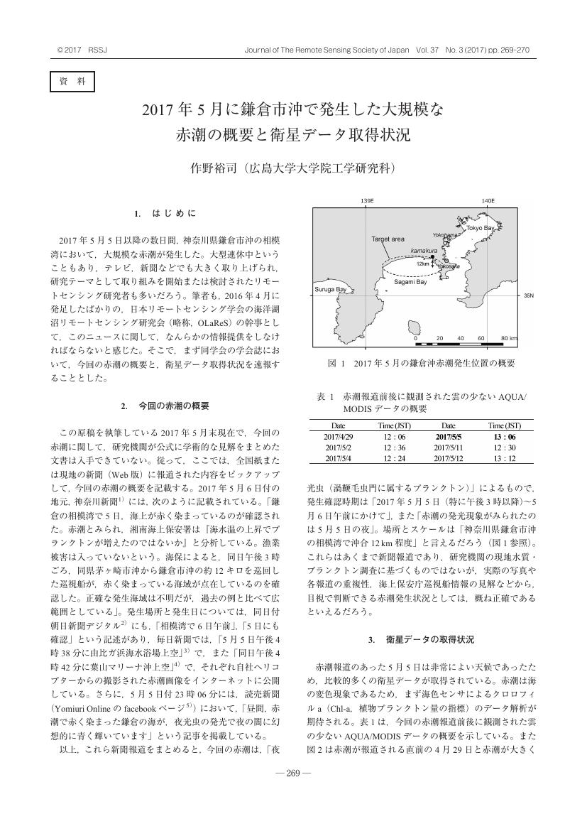
1 0 0 0 OA 2017年5月に鎌倉市沖で発生した大規模な赤潮の概要と衛星データ取得状況
- 著者
- 作野 裕司
- 出版者
- 一般社団法人 日本リモートセンシング学会
- 雑誌
- 日本リモートセンシング学会誌 (ISSN:02897911)
- 巻号頁・発行日
- vol.37, no.3, pp.269-270, 2017-07-21 (Released:2018-01-31)
- 参考文献数
- 10
- 被引用文献数
- 1
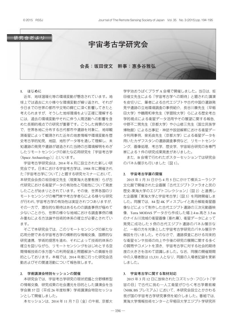
1 0 0 0 OA 宇宙考古学研究会
- 著者
- 坂田 俊文 惠多谷 雅弘
- 出版者
- 一般社団法人 日本リモートセンシング学会
- 雑誌
- 日本リモートセンシング学会誌 (ISSN:02897911)
- 巻号頁・発行日
- vol.35, no.3, pp.194-195, 2015-07-03 (Released:2016-02-04)


