2 0 0 0 GRACE地震学
- 著者
- 田中 優作 日置 幸介
- 出版者
- 公益社団法人 日本地震学会
- 雑誌
- 地震 第2輯 (ISSN:00371114)
- 巻号頁・発行日
- vol.69, pp.69-85, 2017 (Released:2017-05-26)
- 参考文献数
- 71
The Gravity Recovery and Climate Experiment (GRACE) satellite system was launched in 2002, and has been playing important roles in various disciplines of earth and environmental sciences through measuring time-variable gravity field of the earth. It also offers a unique viewpoint to study earthquakes in terms of mass redistribution. We provide a review of earthquake studies with GRACE, e.g. basic facts of the satellite system and available data types, several kinds of non-earthquake gravity changes which may mask the earthquake-related signals. We also summarize past researches about co- and postseismic gravity changes. Two dimensional coseismic gravity changes were first observed with GRACE for the 2004 Sumatra-Andaman earthquake. After that, GRACE has caught coseismic gravity changes of the 2010 Maule, the 2011 Tohoku-oki, the 2012 Indian-ocean, and the 2013 Okhotsk deep-focus earthquakes. Such coseismic gravity changes are due mainly to two factors, i.e., the density changes around the fault edges, and the vertical deformations of boundaries with density contrasts such as the surface and the Moho. Short- and long-term postseismic gravity changes are considered to stem from afterslip and viscoelastic relaxation, respectively, but further studies are needed to quantitatively explain the observations.
2 0 0 0 OA 1900年宮城県北部地震のマグニチュードと震源位置の再評価
- 著者
- 武村 雅之
- 出版者
- 公益社団法人 日本地震学会
- 雑誌
- 地震 第2輯 (ISSN:00371114)
- 巻号頁・発行日
- vol.58, no.1, pp.41-53, 2005-06-10 (Released:2010-03-11)
- 参考文献数
- 32
- 被引用文献数
- 1 4
Three damaging inland earthquakes have occurred in the northern Miyagi Prefecture of the Tohoku District in Japan since 1900. Magnitudes M of the 1962 and the 2003 events were assigned to be 6.5 and 6.4, respectively, from local seismic records observed by the Japan Meteorological Agency (JMA). That of the 1900 event was 7.0, which was determined mainly from the seismic intensity data, while the rank of damage was very lower than other M=7 class inland shallow earthquakes in Japan. In the present study, damage rate data, seismic intensity data, and old seismograms were re-examined to evaluate the magnitude and the location of the focal region of the 1900 event. Re-evaluated magnitude of this event is almost the same as those of the 1962 and 2003 events. The seismic gap between the 1962 and 2003 events is filled with the focal region of the 1900 event obtained. The possibility of a big shallow earthquake occurrence must be very low in near future in the seismic zone of the northern Miyagi Prefecture.
2 0 0 0 OA 地球浅部の温度構造
- 著者
- 田中 明子
- 出版者
- 公益社団法人 日本地震学会
- 雑誌
- 地震 第2輯 (ISSN:00371114)
- 巻号頁・発行日
- vol.61, no.Supplement, pp.239-245, 2009-07-31 (Released:2013-11-21)
- 参考文献数
- 47
- 被引用文献数
- 1 3
This paper addresses some issues related to relationship between lithospheric thermal regime and depth extent of seismicity. Thickness of seismogenic crustal layer correlates with surface heat flow in most intraplate seismic areas of the world. Although inverse relationship between heat flow and the base of seismogenic zone is obvious, quantitative relationships are less certain. Compilation of previous studies shows that temperatures at the base of seismogenic zone appear to be distributed from about 250° to 450° over a large depth interval, 5-30 km, at different tectonic settings. It supports that temperature is one of factors governing the focal depth. Variations in lithology, slip rate, pore pressure, and focal mechanism may account for the temperature difference. Geothermal gradient data and bottom depth of magnetized layers are also useful proxy to reveal the base of seismogenic zone. These multidisciplinary data may provide a useful indicator of lithospheric thermal structure and improve the correlation with depth limit of seismicity.
2 0 0 0 744年天平肥後地震と869年貞観肥後風水災について
- 著者
- 石橋 克彦 原田 智也
- 出版者
- 公益社団法人 日本地震学会
- 雑誌
- 地震 第2輯 (ISSN:00371114)
- 巻号頁・発行日
- vol.70, pp.13-20, 2017-05-10 (Released:2017-09-07)
- 参考文献数
- 38
- 被引用文献数
- 2
2 0 0 0 OA 2011年東北地方太平洋沖地震後の東北地方北部での誘発地震活動
- 著者
- 小菅 正裕 渡邉 和俊 橋本 一勲 葛西 宏生
- 出版者
- 公益社団法人 日本地震学会
- 雑誌
- 地震 第2輯 (ISSN:00371114)
- 巻号頁・発行日
- vol.65, no.1, pp.69-83, 2012-09-28 (Released:2012-10-26)
- 参考文献数
- 33
- 被引用文献数
- 1 5
We have investigated the inland seismic activity induced by the 2011 Off the Pacific coast of Tohoku (Tohoku-oki) Earthquake in the northern part of Tohoku district, using JMA catalog and newly determined focal mechanism solutions. The seismicity is quite high in the Akita prefecture, forming newly activated clusters. The cluster locations are complementary for the periods before and after the Tohoku-oki Earthquake. A stress tensor inversion using focal mechanism data indicates that the stress field has changed from reverse-faulting regime to strike-slip regime, with a counter-clockwise rotation of the maximum principal stress axis and the replacement of the other two principal axes. This change is qualitatively explained by the weakened E-W compressional stress due to megathrust faulting of the Tohoku-oki Earthquake. Thus the new stress field in the investigated area is unfavorable to the preexisting fault planes of reverse faulting, which brought the complementary seismic activity. Among the three active clusters in the Akita prefecture, the one to the north of Moriyoshi volcano is interesting, because the swarm-like activity forms a volumetric source with a dimension of about 3 km. Considering a possible existence of crustal fluid suggested by a reflected phase, delayed beginning of seismic activity about 2 month from the Tohoku-oki Earthquake, and the migration of seismic activity, the induced seismic activity in the area may be related to a response of crustal fluid to the coseismic stress change. Detailed investigation of the result of stress tensor inversion reveals the existence of local stress field superposed on the regional field represented by the average stress tensor. Inferred local stress field exists in the Tsugaru Strait area, southern part of Akita prefecture, and Kitakami Mountains.
2 0 0 0 OA 長野県西部地域における二重スペクトル比によるS波減衰の推定
- 著者
- 松澤 孝紀 武尾 実 井出 哲 飯尾 能久 伊藤 久男 今西 和俊 堀内 茂木
- 出版者
- 公益社団法人 日本地震学会
- 雑誌
- 地震 第2輯 (ISSN:00371114)
- 巻号頁・発行日
- vol.56, no.1, pp.75-88, 2003-06-02 (Released:2010-03-11)
- 参考文献数
- 21
- 被引用文献数
- 3
We estimated S-wave attenuation (QS-1) in a wide frequency range between 4Hz and 60Hz using the twofold spectral ratio [Matsuzawa et al. (1989)] in the western Nagano region, Japan, where the 1984 Naganoken-Seibu earthquake (M6.8) occurred and the seismicity is still active. In the region, there are 49 seismic stations in a range of around 10km in diameter and station separation is several kilometers. In this analysis, 156 shallow (depth <10km) events (0.9≤MW≤2.6) are used. We can effectively reduce the errors of the estimation by using a number of ray paths. We also determined the focal mechanisms of these events and corrected the waveform amplitudes using them. The direct S-wave portions of the seismograms are relatively small in a high frequency range (above 60Hz) at surface stations compared to the lower frequency waves, and contaminated by P-coda waves. Thus, to estimate QS-1 value, we used only the waves whose S/N ratios are greater than 2, where the noise levels are calculated for the time windows just before S-wave arrivals. Obtained QS-1 values show strong frequency dependence below 10Hz, but weak above 10Hz. These values are slightly larger than the ones estimated by Yoshimoto et al. (1998) from the coda-normalization method. This difference is probably owing to the fracture area of the 1984 Naganoken-Seibu earthquake that has strong attenuation.
2 0 0 0 OA 阿寺断層の最新活動時期
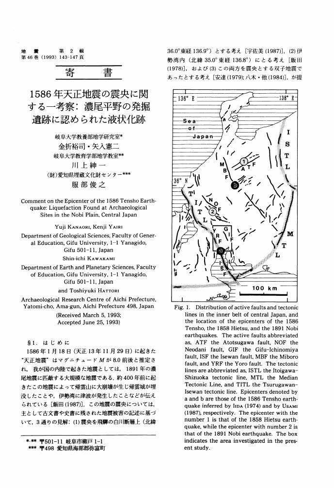
2 0 0 0 OA 1586年天正地震の震央に関する一考察
- 著者
- 金折 裕司 矢入 憲二 川上 紳一 服部 俊之
- 出版者
- 公益社団法人 日本地震学会
- 雑誌
- 地震 第2輯 (ISSN:00371114)
- 巻号頁・発行日
- vol.46, no.2, pp.143-147, 1993-09-24 (Released:2010-03-11)
- 参考文献数
- 27
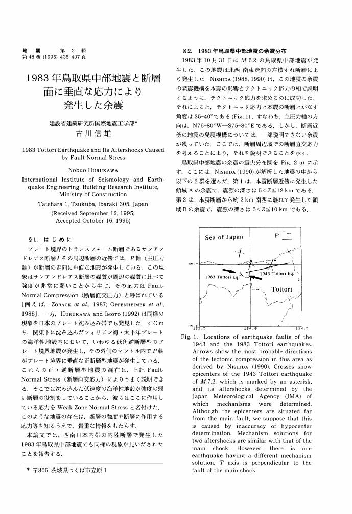
2 0 0 0 OA 1983年鳥取県中部地震と断層面に垂直な応力により発生した余震
- 著者
- 古川 信雄
- 出版者
- 公益社団法人 日本地震学会
- 雑誌
- 地震 第2輯 (ISSN:00371114)
- 巻号頁・発行日
- vol.48, no.3, pp.435-437, 1995-11-25 (Released:2010-03-11)
- 参考文献数
- 7
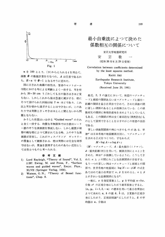
2 0 0 0 OA 最小自乗法によつて決めた係数相互の関係について
- 著者
- 安芸 敬一
- 出版者
- 公益社団法人 日本地震学会
- 雑誌
- 地震 第2輯 (ISSN:00371114)
- 巻号頁・発行日
- vol.14, no.3, pp.199-201, 1961-09-25 (Released:2010-03-09)
- 参考文献数
- 6
2 0 0 0 OA 震度データから検証する宮城県沖で発生する被害地震の繰り返し
- 著者
- 神田 克久 武村 雅之
- 出版者
- 公益社団法人 日本地震学会
- 雑誌
- 地震 第2輯 (ISSN:00371114)
- 巻号頁・発行日
- vol.58, no.3, pp.177-198, 2005-12-25 (Released:2010-03-11)
- 参考文献数
- 41
- 被引用文献数
- 2
The inversion analysis using seismic intensity data is carried out to investigate the source characteristics of major damage earthquakes that have occurred in the sea off Miyagi Prefecture since 1861. It can evaluate short-period seismic wave radiation zones (SPRZ) on an earthquake fault plane. Comparison of the result of the inversion analysis for the May 26, 2003 Off-Miyagi earthquake with the source region deduced from reported aftershock activity verified sufficient accuracy of the present method. We compared the location of SPRZ among analyzed earthquakes and identified the kinds of earthquakes. The SPRZ of the June 12, 1978 earthquake was located near the seacoast of Miyagi Prefecture, adjacent to the large slip area obtained from the waveform inversion by Yamanaka and Kikuchi (2004). The SPRZ of the November 3, 1936 and July 27, 1937 earthquakes were located on the south of that of the 1978 earthquake, which may indicate that the rupture area of the 1936 and 1937 earthquakes were different from that of the 1978 earthquake. On the contrary, location of the SPRZ of the February 20, 1897 earthquake was similar to that of the 1978 earthquake. The SPRZ of the August 5, 1897 earthquake was located near the Japan Trench, while that of the April 23, 1898 earthquake was just beneath the coast of northern Miyagi Prefecture, suggesting that it was an intermediate-depth intraslab earthquake the same as the May 26, 2003 event. The location of the SPRZ of the 21 October, 1861 earthquake was mostly consistent with that of the 1978 earthquake. We consider that the 1861 earthquake should have occurred on the upper boundary of the subducting Pacific plate, not in the inland of northern Miyagi Prefecture.
2 0 0 0 OA 低周波地震のスケーリングモデル
- 著者
- 武村 雅之 小山 順二
- 出版者
- 公益社団法人 日本地震学会
- 雑誌
- 地震 第2輯 (ISSN:00371114)
- 巻号頁・発行日
- vol.36, no.3, pp.323-336, 1983-09-25 (Released:2010-03-11)
- 参考文献数
- 37
- 被引用文献数
- 1
Classification of low-frequency earthquakes has been made quantitatively by using a diagram of seismic-moment factor Me versus characteristic period Tc. Tc and Me correspond to period of corner frequency and seismic-moment density at Tc of each earthquake. About 3, 000 earthquakes from 1926 to 1978 along the Kurile, Japan, and Ryukyu trenches have been analyzed and MS's of those earthquakes cover the range from 3 to 8.3. Most of earthquakes beneath the inner trench slopes have been classified into low-frequency events which show large Tc for the same Me, while ordinary earthquakes have been commonly found in the frontal arc regions. Relations among magnitudes and seismic moment: MS-MJMA, MS-mb, and MS-Mo, for low-frequency events are also different from those for ordinary events. The relations, therefore, cannot be explained by a scaling model for ordinary earthquakes. A scaling model has been derived for low-frequency earthquakes in a statistical manner, taking into account constraints based on the relations among magnitudes and seismic-moment mentioned above. Corner frequencies of source spectra of the low-frequency model are always one half of those of the ordinary model with the same seismic-moment. This model has been also justified by the data of so called tsunami earthquakes in other subduction regions in the world, suggesting a similarity relation among destructive tsunami earthquakes and low-frequency earthquakes with small magnitude.
2 0 0 0 OA 関東地震のマグニチュード
- 著者
- 武村 雅之 池浦 友則 野澤 貴
- 出版者
- 公益社団法人 日本地震学会
- 雑誌
- 地震 第2輯 (ISSN:00371114)
- 巻号頁・発行日
- vol.52, no.4, pp.425-444, 2000-03-25 (Released:2010-03-11)
- 参考文献数
- 55
- 被引用文献数
- 1
Magnitudes for the 1923 Kanto earthquake and its major aftershocks were determined in JMA (Japan Meteorological Agency) scale. The original definition of the JMA magnitude is a magnitude that is calculated by the Tsuboi's formula from the maximum amplitudes in horizontal components of seismograms obtained by the regional observation network of JMA. The used seismograms were recorded by standard seismographs, which were the displacement type with the natural period of about 5s and damping ratio of about 8. However, the seismometers had not been yet standardized before 1925 and various types had been used whose instrumental responses were quite different from those of the standard seismographs. The purpose of the present study was that the JMA magnitudes of the 1923 Kanto earthquake and its major 3 aftershocks were determined in consideration of the difference of the instrumental responses. Fortunately, unsaturated seismograms by the Imamura's type strong motion seismographs (displacement type) have been preserved at 7 stations of JMA. The natural period and damping ratio of each seismograph have been evaluated from the free oscillation records preserved at each station. The records for the main shock and aftershocks were digitized and corrected in the instrumental responses to calculate the seismograms with the instrumental response of the standard seismograph of JMA. After that, the maximum amplitudes were measured on the corrected records and the magnitude was determined for each earthquake following the definition of the JMA magnitude. The determined JMA magnitude was 8.1±0.2 for the main shock. All the results were consistent within the difference of 0.2 with the customary results, which were determined from the uncorrected amplitude and seismic intensity data. The standard deviations were smaller than 0.2 for all the events, which shows higher reliability of the present results, comparing with the past ones.
2 0 0 0 OA 震度インバージョン解析による南海トラフ巨大地震の短周期地震波発生域
- 著者
- 神田 克久 武村 雅之 宇佐 美龍夫
- 出版者
- 公益社団法人 日本地震学会
- 雑誌
- 地震 第2輯 (ISSN:00371114)
- 巻号頁・発行日
- vol.57, no.2, pp.153-170, 2004-12-27 (Released:2010-03-11)
- 参考文献数
- 36
- 被引用文献数
- 4
An inversion analysis has been developed to evaluate short-period seismic wave radiation zones on an earthquake fault plane using seismic intensity data. It is a useful method for historical earthquakes, for which neither strong motion nor tsunami data have been observed by instruments. Since the accuracy of the present method is verified by using ground motion waveforms synthesized by the stochastic Green's function method, it is concluded that the effects of directivity of the fault rupture process and the radiation pattern on seismic intensity distribution can be neglected in the frequency range that is effective for seismic intensity. The present method is applied to great earthquakes that have occurred since 300 years ago in the Nankai Trough seismogenic zone in southwestern Japan, where the Philippine Sea plate is subducting beneath the Eurasian plate. The reliability of their solutions is discussed based on a sensitivity analysis. It is noted that short-period seismic wave radiation zones are often adjacent to large slip areas, termed asperities, but don't always overlap them. Furthermore, they are sometimes located where fault rupture has stopped. Short-period seismic waves are not always radiated from the same zone. For example, fault zones in the Enshu-Nada Sea, the Kumano-Nada Sea, the Kii Channel and the Kochi seacoast have radiated short-period seismic waves at every event, but whether or not short-period seismic waves were radiated in the interior of Suruga Bay, off the Shiono Cape and off the Muroto Cape varied with the events. It is also concluded that crustal structures such as subducted seamounts and subducted ridges take an important role of radiation of short-period seismic waves.
2 0 0 0 OA 日本海沿岸における津波のエネルギー分布
- 著者
- 羽鳥 徳太郎
- 出版者
- 公益社団法人 日本地震学会
- 雑誌
- 地震 第2輯 (ISSN:00371114)
- 巻号頁・発行日
- vol.48, no.2, pp.229-233, 1995-08-25 (Released:2010-03-11)
- 参考文献数
- 22
- 被引用文献数
- 1
Ten years after the 1983 Nihonkai-Chubu tsunami, the 1993 Hokkaido Nansei-Oki tsunami (magnitude, m=3) hit Okushiri Is., Oshima Peninsula and other regions, Killing 231 people by tsunami and landslide. The distribution pattern of tsunami hfeights is different from that of the 1741 Oshima-Oki tsunami (m=3.5). This paper presents the distribution of cumulative energy, ∑H2, for each 150km segment alomg the Japan Sea coast for the time intervals of the recent 100-year (1894-1994) and of 1600 to 1893 (historical tsunamis). The amount of cumulative energy for the recent and historical tsunamis is largest at the Akita and Oshima-Tsugaru regions, respectively. The cumulative energy at the Akita, Shakotan and other regions for the recent 100-year tsunamis exceeds that of the historical tsunamis. On the contrary, the cumulative energy in the Oshima-Tsugaru and Niigata-Ishikawa regions for the recent tsunamis are small compared with those of the historical tsunamis. Precaution must be paid to these regions for seismic gap may exist there. The total tsunamigenic energy in the Japan Sea comprises 24% of that due to tsunamis in the whole Japan.
2 0 0 0 OA 能登半島における津波の屈折効果
- 著者
- 羽鳥 徳太郎
- 出版者
- 公益社団法人 日本地震学会
- 雑誌
- 地震 第2輯 (ISSN:00371114)
- 巻号頁・発行日
- vol.52, no.1, pp.43-50, 1999-06-30 (Released:2010-03-11)
- 参考文献数
- 19
The Noto Peninsula coast has been suffered from the tsunamis originated along the eastern margin of the Japan Sea. According to the old documents, the 1833 Yamagata-Oki tsunami reached 5.3m at Wajima (tip of Noto Peninsula), and killed 47 persons. Inundation heights of the 1964 Niigata, 1983 Nihonkai-Chubu and 1993 SW. Hokkaido tsunamis were 2-4m at Wajima and its neighboring area. These tsunami heights are more than 2-3.5 times larger than the ones expected from the average tsunami magnitude. Based on the refraction diagrams and the shoaling-refraction factors around the peninsula, amplification factors estimated by the Green's formula are 3.0-4.0 at the north coast, 1.5 at the west coast and 1.0 at the east coast. The distribution patterns of the calculated factors nearly agree with those of the inundation heights for each tsunami. In case of the 1964 Niigata tsunami having the period of about 20min, the seishe of Nanao Bay (east side of peninsula) may be excited, because the maximum wave occurred 2.7 hour late from the initial wave. Tsunamis generated off Yamagata and SW. Niigata are strongly affected by the shoaling-refraction.
2 0 0 0 OA 濃尾地震のマグニチュード
- 著者
- 村松 郁栄
- 出版者
- 公益社団法人 日本地震学会
- 雑誌
- 地震 第2輯 (ISSN:00371114)
- 巻号頁・発行日
- vol.15, no.4, pp.341-342, 1962-12-25 (Released:2010-03-11)
- 参考文献数
- 6
- 被引用文献数
- 1
2 0 0 0 OA 庄内平野東縁における完新世の断層活動と1894年 (明治27年) 庄内地震
- 著者
- 鈴木 康弘 池田 安隆 渡辺 満久 須貝 俊彦 米倉 伸之
- 出版者
- 公益社団法人 日本地震学会
- 雑誌
- 地震 第2輯 (ISSN:00371114)
- 巻号頁・発行日
- vol.42, no.2, pp.151-159, 1989-06-24 (Released:2010-03-11)
- 参考文献数
- 17
- 被引用文献数
- 5 2
Many active faults trending N-S along basin-mountain boundaries are recognized in Northeast Japan, but only a few of them have experienced surface faulting in historical time; most of them seem to have been quiescent in the past several hundred years or more. Thus earthquakes are anticipated to occur from these active faults in the near future. To detect the recurrence intervals of faulting, which can be obtained by the excavation study, is indispensable for the long term prediction of earthquakes.We excavated a trench at Kitasakai, Sakata City, across the Kannonji fault, one of the eastern boundary faults of the Shonai plain, Northeast Japan, in order to reveal its late Holocene activity including a possible faulting event associated with the Shonai earthquake (M=7.0) of 1894 A. D., which caused severe damage along this fault.Our excavation has revealed that (1) the last surface faulting event on the Kannonji fault occurred in a period from 2, 500 years B. P. to 1894 A. D., and that (2) no surface faulting occurred (at least at the trenching site) in association with the Shonai earthquake of 1894. Careful examination of historical records, however, strongly suggests that the earthquake of 1894 was also generated from this fault; it is likely that thick, unconsolidated sediments prevented the rupture from propagating up-dip to the surface. These results indicate that the interval between the last two earthquakes originating from the Kannonji fault is less than 2, 500 years. It could be 1, 000 years, because the event revealed by excavation is possibly correlated to the historically-documented earthquake of 850 A. D..
2 0 0 0 OA 沖縄トラフの拡大と九州地方の地殻変動 (2)
- 著者
- 多田 堯
- 出版者
- 公益社団法人 日本地震学会
- 雑誌
- 地震 第2輯 (ISSN:00371114)
- 巻号頁・発行日
- vol.38, no.1, pp.1-12, 1985-03-25 (Released:2010-03-11)
- 参考文献数
- 15
- 被引用文献数
- 2 18
The N-S extensional strain field in the Kyushu is understood as the result of the crustal deformation caused by the rifting and the spreading of the Okinawa Trough which crosses the Central Kyushu in the E-W direction. The spreading velocity and the spreading direction of the Okinawa Trough in the Kyushu have been estimated as 1.4cm/a and N-S direction, respectively, by the analysis of the distance survey. The horizontal and the vertical crustal movements, the normal active faults, the gravity anomaly, the volcanism, and the fault plane solutions of the earthquakes in the Shimabara Peninsula suggest that the Unzen Volcanic Graben is an active rift of the Okinawa Trough. The beginning of the spreading of the Okinawa Trough in the Kyushu has been estimated to be during the period from 0.8Ma to 0.5Ma B. P. by the spreading velocity and the width of the Unzen rift. The distributions of the active faults, the low gravity anomaly belts, the hypocenters of the shallow earthquakes and their fault plane solutions suggest that Okinawa Trough in the Kyushu consists of the three rifts whose strikes are E-W direction and the three transform faults like shear fault zones whose strikes are the NE-SW direction.
2 0 0 0 OA 1905年芸予地震 (M=7.3) の大森式地震計による記録とその数値化
- 著者
- 宮川 康平 中西 一郎 三浦 勝美 田中 聡
- 出版者
- 公益社団法人 日本地震学会
- 雑誌
- 地震 第2輯 (ISSN:00371114)
- 巻号頁・発行日
- vol.51, no.1, pp.113-121, 1998-07-03 (Released:2010-03-11)
- 参考文献数
- 18
The Geiyo earthquake occurred on June 2 in 1905 in the western Seto Inland Sea between the Honshu and Shikoku Islands, Japan. The seismograms of the earthquake obtained at the stations of Central Meteorological Observatory were newly found at Earthquake Research Institute of the University of Tokyo. They are recorded by the Omori seismometers and tromometers, which are superior to former seismometers with respect to continuous recording. For the estimation of the magnitude and source mechanism from the seismograms, we digitize 3 records, which are Hongo EW component, Hitotsubashi EW component and Tokyo tromometer. We have to know the response of the Omori seismometer to estimate the ground motion during the earthquake. In order to know the frequency characteristics of the seismometers, we calculate their Fourier amplitude spectra. The spectra of the Hongo EW component and Hitotsubashi EW component show clear peaks which may be considered as the natural periods of the seismometers. The natural periods of Hongo EW component and Hitotsubashi EW component are about 60s and 25s, respectively. The damping constant estimated from the free oscillation record of Omori seismometer at Ishinomaki observatory is less than 0.01, and the friction is 1.7mm.


