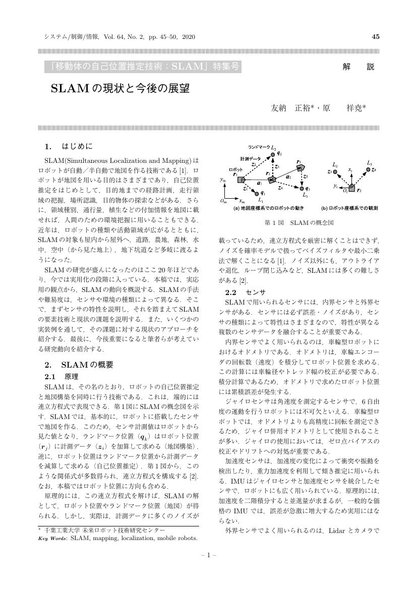
79 0 0 0 OA SLAM の現状と今後の展望
- 著者
- 友納 正裕 原 祥尭
- 出版者
- 一般社団法人 システム制御情報学会
- 雑誌
- システム/制御/情報 (ISSN:09161600)
- 巻号頁・発行日
- vol.64, no.2, pp.45-50, 2020-02-15 (Released:2020-08-15)
- 参考文献数
- 35
- 被引用文献数
- 2
6 0 0 0 OA 移動ロボットの環境認識 ―地図構築と自己位置推定
- 著者
- 友納 正裕
- 出版者
- 一般社団法人 システム制御情報学会
- 雑誌
- システム/制御/情報 (ISSN:09161600)
- 巻号頁・発行日
- vol.60, no.12, pp.509-514, 2016-12-15 (Released:2017-05-15)
- 参考文献数
- 26
- 被引用文献数
- 2
3 0 0 0 OA 3Dスキャナとジャイロを用いた屋外ナビゲーションプラットホーム
- 著者
- 吉田 智章 入江 清 小柳 栄次 友納 正裕
- 出版者
- 公益社団法人 計測自動制御学会
- 雑誌
- 計測自動制御学会論文集 (ISSN:04534654)
- 巻号頁・発行日
- vol.47, no.10, pp.493-500, 2011 (Released:2012-01-21)
- 参考文献数
- 14
- 被引用文献数
- 2 7
This paper proposes a light-weight navigation platform that consists of gyro-assisted odometry, a 3D laser scanner and map-based localization for human-scale robots. The gyro-assisted odometry provides highly accurate positioning only by dead-reckoning. The 3D laser scanner has a wide field of view and uniform measuring-point distribution. The map-based localization is robust and computationally inexpensive by utilizing a particle filter on a 2D grid map generated by projecting 3D points on to the ground. The system uses small and low-cost sensors, and can be applied to a variety of mobile robots in human-scale environments. Outdoor navigation experiments were conducted at the Tsukuba Challenge held in 2009 and 2010, which is an open proving ground for human-scale robots. Our robot successfully navigated the assigned 1-km courses in a fully autonomous mode multiple times.
- 著者
- 荻野 貴司 秋元 俊成 友納 正裕 松元 明弘
- 出版者
- 一般社団法人 日本機械学会
- 雑誌
- ロボティクス・メカトロニクス講演会講演概要集
- 巻号頁・発行日
- vol.2008, pp._2P2-C05_1-_2P2-C05_3, 2008
For the future cohabitation of humans and robots, we are making research on home use robots, where positions of robot, human and environment must be precisely recognized. We used omnidirectional mobile robot with laser range sensor for this purpose, and made experiments on map building and human following. First, we adopted scan matching algorithm for the localization of mobile robot in the stable environment, and confirmed the performance of the map building by experiments. Next, we applied this algorithm to the mixed environment of human and robot, and succeeded to extract human motion and robot motion along with the map building at the same time. We implemented the motion extraction algorithm for the human following application.
1 0 0 0 OA つくばチャレンジにおける屋外ナビゲーションシステムの問題分析と基本設計
- 著者
- 友納 正裕 吉田 智章 入江 清 小柳 栄次
- 出版者
- 一般社団法人 日本ロボット学会
- 雑誌
- 日本ロボット学会誌 (ISSN:02891824)
- 巻号頁・発行日
- vol.30, no.3, pp.262-270, 2012 (Released:2012-04-29)
- 参考文献数
- 23
- 被引用文献数
- 5 4
The Tsukuba Challenge is a proving ground for mobile robots, the task of which is autonomous navigatoin along a predefined path of 1km in outdoor environments. We joined the Tsukuba Challenge and achieved the tasks in 2009 and 2010. This paper focuses on the problem analysis and basic design of our navigation system, and presents the design policy and lessons learned in the experiments. Our system consists of gyro-assisted odometry, a roundly-swinging 3D laser scanner, a fish-eye camera, and a localization method using map matching and a particle filter. The integration of these technologies made our system highly reliable to achieve the task.
- 著者
- 荻野 貴司 秋元 俊成 友納 正裕 松元 明弘
- 出版者
- 一般社団法人 日本機械学会
- 雑誌
- IIP情報・知能・精密機器部門講演会講演論文集
- 巻号頁・発行日
- vol.2008, pp.88-89, 2008
For the future cohabitation of humans and robots, we are making research on home use robots, where human motion and environment must be precisely recognized. We used omnidirectional mobile robot with laser range sensor for this purpose, and made experiments on map building and human following. First, we adopted scan matching algorithm for the localization of mobile robot in the stable environment, and confirmed the map building capability by experiments. Next, we applied this algorithm to the mixed environment of human and robot, and succeeded to extract human motion and robot motion along with the map building at the same time. We confirmed the adaptability of scan matching algorithm to the human motion recognition which is the key to the human following by robots.
1 0 0 0 OA ロボットの長期間活動のための地図結合
- 著者
- 友納 正裕
- 出版者
- 一般社団法人 日本ロボット学会
- 雑誌
- 日本ロボット学会誌 (ISSN:02891824)
- 巻号頁・発行日
- vol.37, no.9, pp.864-872, 2019 (Released:2019-11-16)
- 参考文献数
- 13
This paper presents a map-merging method which enables the robot to continue working for months and years. The proposed method merges a reference map and the current map to create a new reference map for the next use. Consistency check for map merging is performed using pseudo χ2 test. After map merging, the method reduces the map size by removing redundant data in the pose graph and point cloud for long-term map maintenance. Experiments show the proposed method successfully merges maps and reduces the map size.
1 0 0 0 OA 相互情報量を用いた機械学習とそのロボティクスへの応用
- 著者
- 杉山 将 入江 清 友納 正裕
- 出版者
- 一般社団法人 日本ロボット学会
- 雑誌
- 日本ロボット学会誌 (ISSN:02891824)
- 巻号頁・発行日
- vol.33, no.2, pp.86-91, 2015 (Released:2015-04-15)
- 参考文献数
- 29
- 被引用文献数
- 1
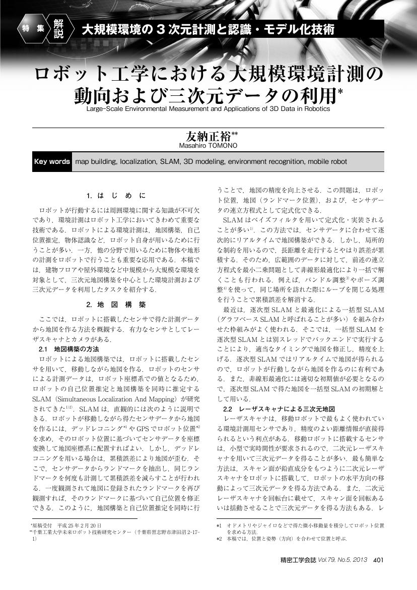
1 0 0 0 OA ロボット工学における大規模環境計測の動向および三次元データの利用
- 著者
- 友納 正裕
- 出版者
- 公益社団法人 精密工学会
- 雑誌
- 精密工学会誌 (ISSN:09120289)
- 巻号頁・発行日
- vol.79, no.5, pp.401-404, 2013-05-05 (Released:2013-11-05)
- 参考文献数
- 27
1 0 0 0 OA 不正確さを許す環境マップと単眼ビジョンによる物体認識に基づく移動ロボットの行動制御の研究
- 著者
- 友納 正裕
- 巻号頁・発行日
- 2002
筑波大学博士 (工学) 学位論文・平成14年3月25日授与 (甲第2902号)
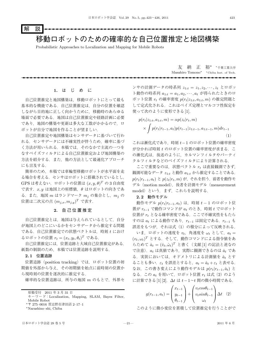
1 0 0 0 OA 移動ロボットのための確率的な自己位置推定と地図構築
- 著者
- 友納 正裕
- 出版者
- 一般社団法人 日本ロボット学会
- 雑誌
- 日本ロボット学会誌 (ISSN:02891824)
- 巻号頁・発行日
- vol.29, no.5, pp.423-426, 2011 (Released:2011-07-15)
- 参考文献数
- 13
- 被引用文献数
- 7 5
1 0 0 0 定量値を考慮した時間推論
計画作成においては、動作の順序関係や[Allen83]の時間述語で記述されるような定性的な時間関係だけでなく、「何時までに・・・をして」というような具体的な時刻や時間を考慮した定量的な時間関係がしばしば問題になる。たとえば、次のような例題を考えてみる。「東京から大阪まで出かける。午後1時まで東京で用事があり、午後3時までに大阪に到着したい。」ここで、交通機関として新幹線、飛行機、自動車などが考えられる。移動時間は、新幹線で3時間、飛行機で1時間とする。自動車は速度を調節でき、移動時間が可変のため、最高速度を200Km/時として与えておく。東京一大阪間の距離は500Kmとする。このような条件においては、飛行機以外の交通機関では午後3時に大阪に到着できないので、飛行機を使用すべきであり、また、遅くとも午後2時には東京を出発すべきことがわかる。このようなことは[A11en83]にあるような定性的な時間関係だけから導くことはできない。このような定量的な情報は、状況の理解にも有用である。この例題では、飛行機を使ったことが推測できるし、仮に、新幹線を使って計画通りに行なったという発言があれば、それが虚偽であることがわかる。本稿では、上記のような定量的な値を考慮した時間推論を支援するシステムについて論ずる。
- 著者
- 田中 章愛 坪内 孝司 友納 正裕 油田 信一
- 出版者
- 一般社団法人日本機械学会
- 雑誌
- ロボティクス・メカトロニクス講演会講演概要集
- 巻号頁・発行日
- vol.2005, 2005-06-09


