5 0 0 0 OA 陸地測量部から地理調査所へ
- 著者
- 金窪 敏知
- 出版者
- 日本地図学会
- 雑誌
- 地図 (ISSN:00094897)
- 巻号頁・発行日
- vol.52, no.1, pp.1_13-1_18, 2014-03-31 (Released:2016-11-17)
- 参考文献数
- 9
5 0 0 0 OA 「デジタル地図用語集」中間成果報告
- 著者
- 地図用語専門部会
- 出版者
- 日本地図学会
- 雑誌
- 地図 (ISSN:00094897)
- 巻号頁・発行日
- vol.55, no.1, pp.12-25, 2017-03-31 (Released:2018-09-12)
5 0 0 0 OA 地図学用語集 (案)
- 著者
- 地図用語専門部会
- 出版者
- 日本地図学会
- 雑誌
- 地図 (ISSN:00094897)
- 巻号頁・発行日
- vol.20, no.2, pp.27-44, 1982-06-30 (Released:2011-07-19)
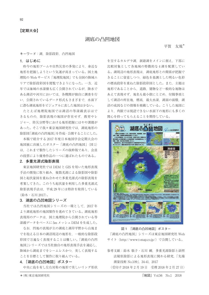
5 0 0 0 OA 湖底の凸凹地図
- 著者
- 平賀 友規
- 出版者
- 日本地図学会
- 雑誌
- 地図 (ISSN:00094897)
- 巻号頁・発行日
- vol.56, no.1, pp.1_92, 2018-03-31 (Released:2019-06-17)
- 参考文献数
- 1
5 0 0 0 OA 木津川上流水害地形分類図
- 著者
- 大矢 雅彦
- 出版者
- 日本地図学会
- 雑誌
- 地図 (ISSN:00094897)
- 巻号頁・発行日
- vol.39, no.2, pp.18-23, 2001-08-10 (Released:2011-07-19)
- 参考文献数
- 13
5 0 0 0 OA 地図上にみる上越新幹線
- 著者
- 小倉 正巳
- 出版者
- 日本地図学会
- 雑誌
- 地図 (ISSN:00094897)
- 巻号頁・発行日
- vol.12, no.4, pp.11-14, 1974-11-30 (Released:2011-07-19)
4 0 0 0 OA 北海道のアイヌ語地名における頻用語
- 著者
- 佐藤 典彦
- 出版者
- Japan Cartographers Association
- 雑誌
- 地図 (ISSN:00094897)
- 巻号頁・発行日
- vol.15, no.1, pp.11-20, 1977-03-31 (Released:2011-07-19)
- 参考文献数
- 14
4 0 0 0 OA 第一軍 (師) 管地方迅速測図・小地測量原図について
- 著者
- 師橋 辰夫
- 出版者
- Japan Cartographers Association
- 雑誌
- 地図 (ISSN:00094897)
- 巻号頁・発行日
- vol.12, no.1, pp.38-43, 1974-03-31 (Released:2011-07-19)
4 0 0 0 OA 地図投影法の定義と「投影」概念
- 著者
- 政春 尋志
- 出版者
- Japan Cartographers Association
- 雑誌
- 地図 (ISSN:00094897)
- 巻号頁・発行日
- vol.45, no.3, pp.1-15, 2007-09-30 (Released:2011-07-19)
- 参考文献数
- 41
- 被引用文献数
- 1
4 0 0 0 OA 第二次大戦前後の日本の地図事情
- 著者
- 清水 靖夫
- 出版者
- 日本地図学会
- 雑誌
- 地図 (ISSN:00094897)
- 巻号頁・発行日
- vol.45, no.3, pp.23-27, 2007-09-30 (Released:2011-07-19)
- 参考文献数
- 5
4 0 0 0 OA 府県廃置法律案附図【大日本帝国全図】
- 著者
- 齊藤 忠光
- 出版者
- 日本地図学会
- 雑誌
- 地図 (ISSN:00094897)
- 巻号頁・発行日
- vol.51, no.3, pp.3_17-3_18, 2013 (Released:2016-11-17)
4 0 0 0 OA インフルエンザ感染症サーベイランスにおける疾病地図の利活用と健康危機管理に向けた課題
- 著者
- 荒堀 智彦
- 出版者
- 日本地図学会
- 雑誌
- 地図 (ISSN:00094897)
- 巻号頁・発行日
- vol.55, no.2, pp.2_1-2_16, 2017-06-30 (Released:2018-09-12)
- 参考文献数
- 19
“Disease map” is a thematic map describing geographical spread of diseases. Previous studies pointed out the importance of infectious disease information delivery using maps. However, few attempts have been done on the evaluation of the map use in epidemiological surveillance. The aim of this paper is to examine the current condition of utilization of disease maps in health crisis management, focusing on influenza regional surveillance in Japan.This study analyzed information collected by two methods. First, we carried out a survey of the websites of epidemiological surveillance in Japanese specialized agencies and local governments. We obtained data from 3,649 agencies and local governments, including 81 institutes of health, 551 health centers, 1,040 medical associations, and 1,977 local governments. We examined these websites by checking its quality of information, provisional form, and map usage. Second, we made the interview to the specialized agencies that delivered epidemiological information by with disease maps. Items of the survey are as follows: history of construction and management about surveillance system, user and utilization of regional surveillance, the effect of introduction and relationship with other surveillance, and new developments and future enhancements.Analysis of the websites revealed that health centers, medical associations and local governments delivered original information on infectious disease jurisdictional districts. Only 40 specialized agencies and local governments published disease maps on the websites, in which information was easy to understand in real time. In any case utilization of disease maps in regional surveillance has an effect of increasing reliability and speed of information delivery. These maps are browsed widely by not only specialist but also general public. In this way, some agencies built a health crisis management structure in territorial jurisdictions by utilizing the map. Hence, utilization of disease maps in regional surveillance can be useful for riskcommunication as a tool of sharing crisis management information between experts and local residents.
4 0 0 0 OA 地名調査「山形盆地と藻ヶ湖」
- 著者
- 中平 龍二郎
- 出版者
- 日本地図学会
- 雑誌
- 地図 (ISSN:00094897)
- 巻号頁・発行日
- vol.34, no.Supplement, pp.17-17, 1996 (Released:2011-07-19)
3 0 0 0 OA 明治初期日本の水路測量に関する基礎的調査
- 著者
- 河村 克典
- 出版者
- 日本地図学会
- 雑誌
- 地図 (ISSN:00094897)
- 巻号頁・発行日
- vol.59, no.4, pp.27-38, 2021-12-31 (Released:2023-09-14)
- 参考文献数
- 20
3 0 0 0 OA 伊能大図画像における真北と磁北の推定法
- 著者
- 野上 道男
- 出版者
- 日本地図学会
- 雑誌
- 地図 (ISSN:00094897)
- 巻号頁・発行日
- vol.60, no.2, pp.1-11, 2022-06-30 (Released:2023-09-14)
- 参考文献数
- 12
The true north and magnetic north are not drawn in the maps of 1:36000 made by INO Tadataka at the beginning of 19th century. In this paper, the author developed method of estimation for the geographic meridian and magnetic meridian for digitized Ino maps. Correlation index between longitudes in the actual digital map of the Geospatial Information Authority of Japan and coordinates in the rotated map image becomes the maximum when the north of rotated map matches to the true north. In this way we were able to fix the north in Ino map of 1:36000.Ino had believed that the magnetic north was equivalent to true north anywhere through surveying and making maps of Japanese Islands. Therefore, north-south direction in his maps of 1:216000 is magnetic meridian which crosses parallels drawn at right angles. Notwithstanding lack of parallels in the map of 1:36000, we were able to fix the magnetic north comparing with the parallel of the map of 1:216000. This method is the same as true north fixing.
- 著者
- 鳴海 邦匡 渡辺 理絵 小林 茂
- 出版者
- 日本地図学会
- 雑誌
- 地図 (ISSN:00094897)
- 巻号頁・発行日
- vol.60, no.1, pp.17-35, 2022-03-31 (Released:2023-09-14)
- 参考文献数
- 63
For the Taiwan expedition (1874) and military action to suppress local resistance after the SinoJapanese War (1894-5), Japanese navy prepared nautical charts re-engraving from British Admiralty charts. Concerning place names, Japanese Hydrographical Office tried to transcribe those on British charts into Chinese characters locally used. However, it was not easy to infer exact Chinese characters on the basis of transliterated alphabetical local place names on British charts. Although a Chinese nautical chart titled Da Qing yi tong hai dao zong tu 大清一統海道總圖 (General map of the Chinese coast and sea-routes) re-engraved from a British chart was consulted, even place names of major ports of Taiwan on it were not always correct, because it transliterated many local place names phonetically into Chinese characters. After a process of trial and error up to 1905, place names in Chinese characters conformed to local use were put on Japanese charts of Taiwan.
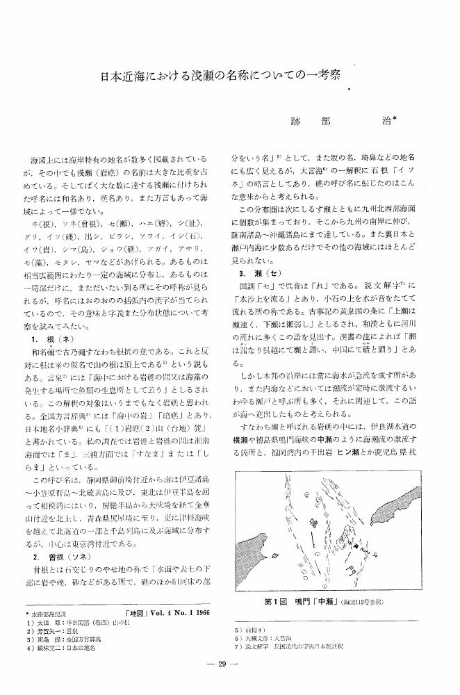
3 0 0 0 OA 日本近海における浅瀬の名称についての一考察
- 著者
- 跡部 治
- 出版者
- Japan Cartographers Association
- 雑誌
- 地図 (ISSN:00094897)
- 巻号頁・発行日
- vol.4, no.1, pp.29-33, 1966-03-25 (Released:2011-07-19)
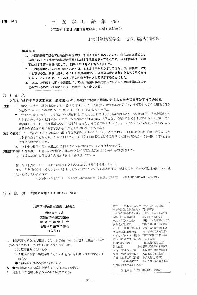
3 0 0 0 OA 地図学用語集 (案) 文部省「地理学用語選定原案」に対する答申
- 著者
- 地図用語専門部会
- 出版者
- 日本地図学会
- 雑誌
- 地図 (ISSN:00094897)
- 巻号頁・発行日
- vol.4, no.2, pp.37-44, 1966-06-30 (Released:2011-07-19)
3 0 0 0 地域的にみた横浜市の都市農業の方向:農業専用地区を調査して
- 著者
- 北村 清
- 出版者
- Japan Cartographers Association
- 雑誌
- 地図 (ISSN:00094897)
- 巻号頁・発行日
- vol.26, pp.10a-11, 1988
3 0 0 0 地学教育における地質図の読図にまつわる課題と展望
- 著者
- 川辺 文久
- 出版者
- 日本地図学会
- 雑誌
- 地図 (ISSN:00094897)
- 巻号頁・発行日
- vol.53, no.1, pp.1_66-1_73, 2015
