- 著者
- 平田 益美 金澤 敬 橋本 良一
- 出版者
- Japan Cartographers Association
- 雑誌
- 地図 (ISSN:00094897)
- 巻号頁・発行日
- vol.33, no.2, pp.48-53, 1995-06-30
3 0 0 0 OA 航空従事者の地文航法での地図利用と空間認識についての一考察
- 著者
- 太田 弘 紺谷 均
- 出版者
- 日本地図学会
- 雑誌
- 地図 (ISSN:00094897)
- 巻号頁・発行日
- vol.25, no.Supplement, pp.11a-11, 1987 (Released:2011-07-19)
3 0 0 0 OA 内務省地理局『東京実測全図』について
- 著者
- 清水 靖夫
- 出版者
- Japan Cartographers Association
- 雑誌
- 地図 (ISSN:00094897)
- 巻号頁・発行日
- vol.6, no.3, pp.1-6, 1968-09-30 (Released:2011-07-19)
- 参考文献数
- 5
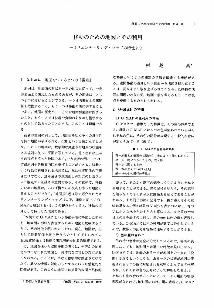
3 0 0 0 OA 移動のための地図とその利用
- 著者
- 村越 真
- 出版者
- Japan Cartographers Association
- 雑誌
- 地図 (ISSN:00094897)
- 巻号頁・発行日
- vol.27, no.2, pp.1-8, 1989-06-30 (Released:2011-07-19)
- 参考文献数
- 13
- 著者
- 瀬戸 玲子
- 出版者
- 日本地図学会
- 雑誌
- 地図 (ISSN:00094897)
- 巻号頁・発行日
- vol.32, no.2, pp.18-27, 1994-06-30 (Released:2011-07-19)
- 参考文献数
- 7
3 0 0 0 OA 駒込史跡探訪地図
- 著者
- 斉藤 忠光
- 出版者
- 日本地図学会
- 雑誌
- 地図 (ISSN:00094897)
- 巻号頁・発行日
- vol.29, no.2, pp.38-38, 1991-06-30 (Released:2011-07-19)
2 0 0 0 OA 伊能大図における第4次・第5次測量の導線接合部における閉合差
- 著者
- 野上 道男
- 出版者
- 日本地図学会
- 雑誌
- 地図 (ISSN:00094897)
- 巻号頁・発行日
- vol.59, no.3, pp.1-13, 2021-09-30 (Released:2023-09-14)
- 参考文献数
- 10
The surveying method used by Ino is called as “Dosen-Ho”,a kind of open traverse method. “Dosen”,that is to say,surveyed polygonal lines along coasts and main roads compose a net. Nodes on the net are points of bifurcation and/or points of confluence because the lines are directed. Then errors of closure would be apparent at the confluence points of the surveying lines. This paper deals with the error handling by Ino to make maps. He distributed the revealed error at the confluence point among adjacent points on the newly surveyed line and did not modify existing lines already surveyed.
2 0 0 0 OA 19世紀「獨逸陸地測量部」と日本
- 著者
- 細井 將右
- 出版者
- 日本地図学会
- 雑誌
- 地図 (ISSN:00094897)
- 巻号頁・発行日
- vol.59, no.3, pp.14-17, 2021-09-30 (Released:2023-09-14)
- 参考文献数
- 6
2 0 0 0 OA 日本におけるジオパーク活動の展開と地図の活用
- 著者
- 目代 邦康 小荒井 衛
- 出版者
- 日本地図学会
- 雑誌
- 地図 (ISSN:00094897)
- 巻号頁・発行日
- vol.49, no.3, pp.1-16, 2011 (Released:2015-11-07)
- 参考文献数
- 65
In Japan, geoparks were initiated around 2004. Twenty areas became members of the Japan Geopark Network by September 2011. One of the activities in these geoparks is the creation of various maps, out of which several show the location of geosites and their access routes. Such maps are a form of tourist maps. Some maps explain the geology and landform of an area: they are highly important for initiating scientific activity in geoparks. Thus far, scientific maps explaining the landform and geology of an area have been created by geoscientists, but their information contained in these maps is not reflected in geopark maps. The availability of intelligible scientific maps can aid visitors to geoparks in experiencing a high-quality geotour. However, for creating such effective scientific maps, it is necessary for geoscientists to work in cooperation with geopark managers.
2 0 0 0 OA 新しい領海法と直線基線について
- 著者
- 長井 俊夫
- 出版者
- 日本地図学会
- 雑誌
- 地図 (ISSN:00094897)
- 巻号頁・発行日
- vol.34, no.4, pp.9-13, 1996-12-30 (Released:2011-07-19)
- 参考文献数
- 6
2 0 0 0 OA 千葉県市川市の市街地内に残存するクロマツの分布
2 0 0 0 OA シーボルトが手に入れた日本図と日本の地理情報
- 著者
- 青山 宏夫
- 出版者
- 日本地図学会
- 雑誌
- 地図 (ISSN:00094897)
- 巻号頁・発行日
- vol.56, no.1, pp.24-39, 2018-03-31 (Released:2019-06-17)
- 参考文献数
- 31
- 被引用文献数
- 1
Ph. F. von Siebold came to Japan to serve as physician at the Dutch Trading Post on Deshima in Nagasaki and, upon his return to Europe in 1828, he attempted to take with him a map of Japan, a prohibited item, that he had received from Kageyasu Takahashi, who was in government service as Tenmonkata. When the map was discovered by the government, the persons involved were apprehended and the map was confiscated. This was the so-called “Siebold Incident.” Siebold, however, had covertly made a copy of the map, which he took with him out of the country. Siebold produced a map based on the map he had brought back and published the map, which depicted the shape of the Japanese archipelago more accurately than those existing in Europe at the time, in Leiden, Holland in 1840.The paper identified this map of Japan which Siebold obtained from Kageyasu Takahashi and used as the original source of the Siebold’s map of Japan. In research to date, the map has been conjectured to be the Kana-gaki Inō Tokubetsu Shōzu( Special Small Inō Map with Kana Notations), which is in the collection of the National Diet Library, though there has been no direct evidence that would actually prove this. For verification, a survey was conducted of map materials in the possession of the von Brandenstein-Zeppelin family, descendants of Siebold who currently reside in Germany.This group of map materials has not been well known in map research thus far. After first providing an introduction, it is pointed out that, as a characteristic, it is comprised primarily of handtraced maps, drafts and such. Due to this characteristic, it was possible to determine from this group of map materials the manner in which Siebold actually carried out tasks involving maps. As a result of the survey, five maps of Japan were found that would appear to have a relationship to the Kanagaki Inō Tokubetsu Shōzu. In particular, through a detailed examination of scale and notation content on two of the maps, items 22 and 26, unique characteristics were identified that are apparent in the Kana-gaki Inō Tokubetsu Shōzu, providing definite proof that they were copied. At the same time, by clarifying, based on new materials relating to the Siebold Incident, the content of testimony given by Kageyasu Takahashi, who was subjected to interrogation for the crime of providing Siebold with the map of Japan, a prohibition item, it was confirmed that the map of Japan at issue is indeed the Kana-gaki Inō Tokubetsu Shōzu.Furthermore, examining the place names and longitude/latitude notations on map item 22, it was verified that the major source is Shoshū Keii (Siebold-collection of Leiden University Library), which is an abridged version of Chisei Teiyō(Outline of the Geography of Japan) edited by Kageyasu Takahashi, in addition to the source provided by A. J. von Krusenstern. Based on the facts mentioned above that the Kana-gaki Inō Tokubetsu Shōzu is a map edited by Kageyasu Takahashi and that the major source of information concerning the place names and longitude/latitude notations is Kageyasu Takahashi, it was clarified that he was not merely a provider of a map of Japan but contributed considerably to Siebold’s map of Japan as the provider of his own unique geographical product.
2 0 0 0 20万分1地勢図印刷インキの耐光試験
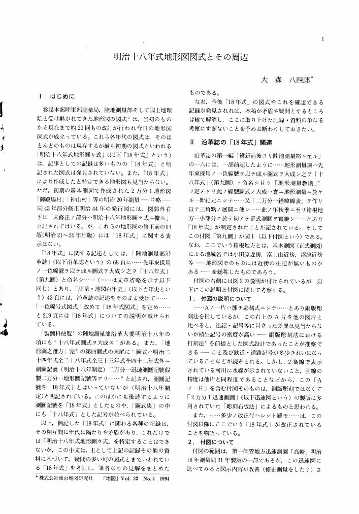
2 0 0 0 OA 明治十八年式地形図図式とその周辺
- 著者
- 大森 八四郎
- 出版者
- 日本地図学会
- 雑誌
- 地図 (ISSN:00094897)
- 巻号頁・発行日
- vol.32, no.4, pp.1-9, 1994-12-30 (Released:2011-07-19)
- 参考文献数
- 6
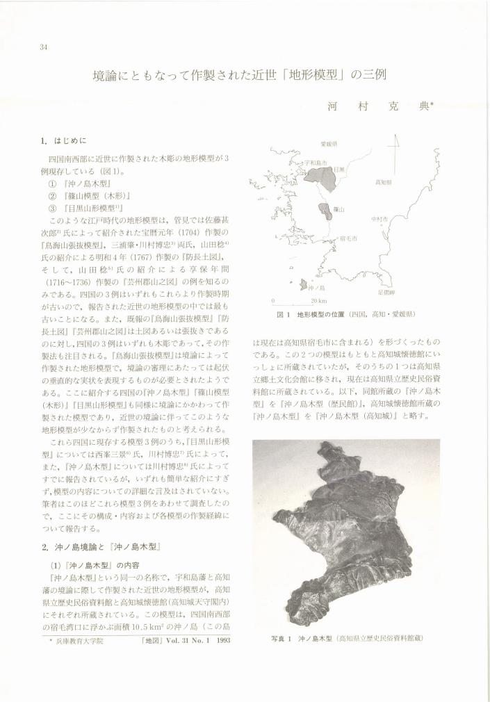
2 0 0 0 OA 境論にともなって作製された近世「地形模型」の三例
- 著者
- 河村 克典
- 出版者
- 日本地図学会
- 雑誌
- 地図 (ISSN:00094897)
- 巻号頁・発行日
- vol.31, no.1, pp.34-40, 1993-03-31 (Released:2011-07-19)
- 参考文献数
- 24
- 著者
- 加藤 芳夫
- 出版者
- 日本地図学会
- 雑誌
- 地図 (ISSN:00094897)
- 巻号頁・発行日
- vol.16, no.4, pp.11-16, 1978
本稿は, 第9回国際地図学会議 (53年7月, ワシントンD. Cメリーランド大学) のために, 国際地図情報センターから提出されたThe First Systematie Base-line and Triangulation Survey in Japan-Yufutsu Base-line Survey in Hokkaido in 1873-をもとに, この基線測量からすでに一世紀を経過した苫小牧の変遷を, 国土地理院の5万分の1地形図によって概観し, 特に戦後, 内陸堀込港湾の造成によって急速なテンポで変貌しているこの地域の様相を描いてみたい。<BR>本号の添付地図は, 明治8年開拓使による「三角術測量北海道之図」及び「北海道三角術測量有仏基線之図」であり, 同国際会議に提出したものと同様のものである。国際地図情報センターから筆者への要請は, アメリカで開かれる国際会議であるだけに, 日米の国際親善及び国際交流のための橋渡しの一助となればという意図によるものであった。従って, この古地図の複製にあたっても, 古地図としての歴史的な意義を解明することを目的とするものではなく, より一般的に明治初期の開拓使時代における偉大な事業のひとつとして紹介したものである。
2 0 0 0 OA 最近における伊能日本図の所在と概況について
- 著者
- 渡辺 一郎
- 出版者
- 日本地図学会
- 雑誌
- 地図 (ISSN:00094897)
- 巻号頁・発行日
- vol.34, no.2, pp.2-17, 1996-06-30 (Released:2011-07-19)
- 参考文献数
- 28
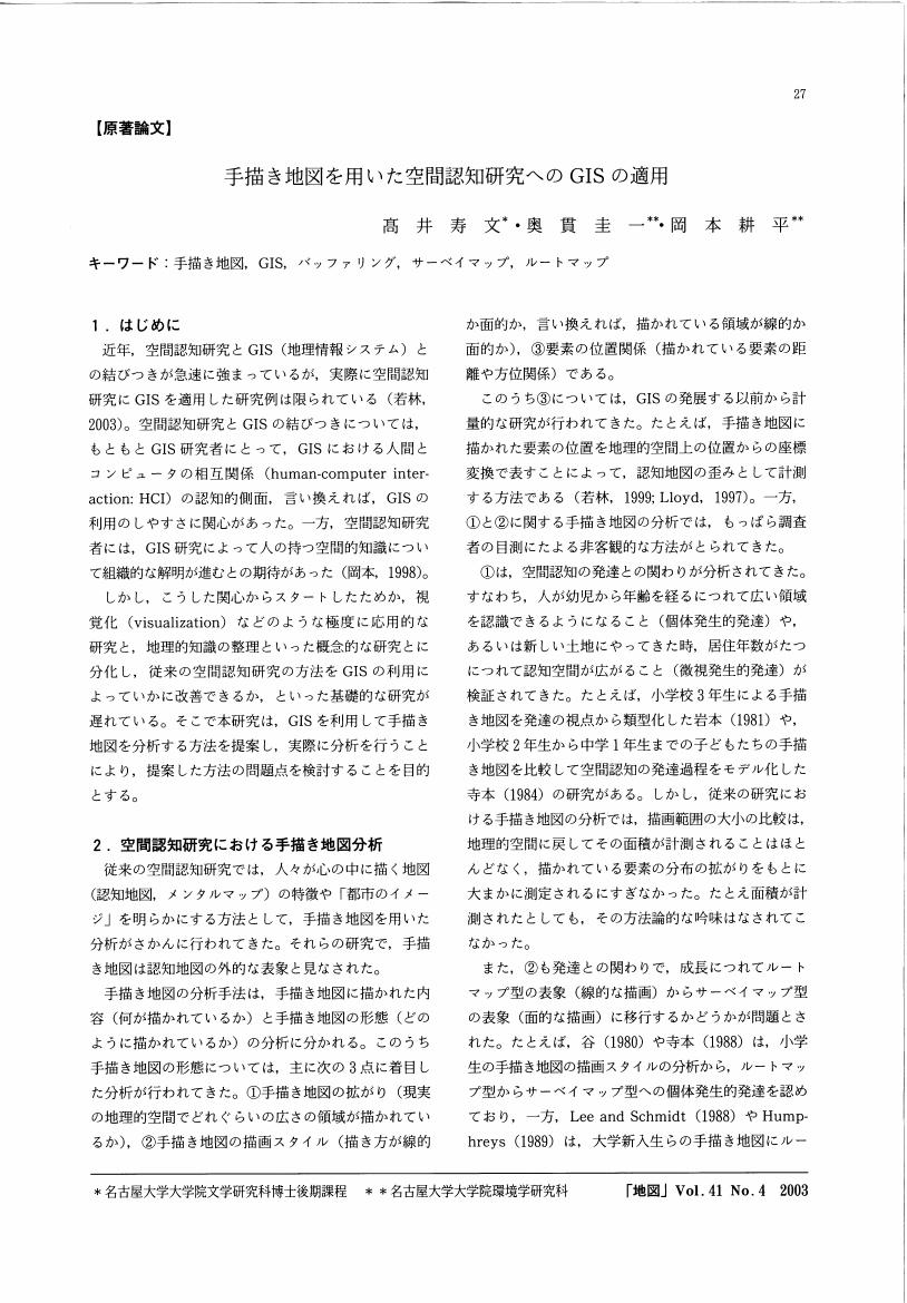
2 0 0 0 OA 手描き地図を用いた空間認知研究へのGISの適用
- 著者
- 高井 寿文 奥貫 圭一 岡本 耕平
- 出版者
- Japan Cartographers Association
- 雑誌
- 地図 (ISSN:00094897)
- 巻号頁・発行日
- vol.41, no.4, pp.27-36, 2003-12-28 (Released:2011-07-19)
- 参考文献数
- 13
- 著者
- 齊藤 忠光
- 出版者
- 日本地図学会
- 雑誌
- 地図 (ISSN:00094897)
- 巻号頁・発行日
- vol.49, no.1, pp.1_39-1_40, 2011 (Released:2015-11-07)
- 参考文献数
- 5
2 0 0 0 OA 明治初期の勇払基線と苫小牧の発展
- 著者
- 加藤 芳夫
- 出版者
- Japan Cartographers Association
- 雑誌
- 地図 (ISSN:00094897)
- 巻号頁・発行日
- vol.16, no.4, pp.11-16, 1978-12-10 (Released:2011-07-19)
本稿は, 第9回国際地図学会議 (53年7月, ワシントンD. Cメリーランド大学) のために, 国際地図情報センターから提出されたThe First Systematie Base-line and Triangulation Survey in Japan-Yufutsu Base-line Survey in Hokkaido in 1873-をもとに, この基線測量からすでに一世紀を経過した苫小牧の変遷を, 国土地理院の5万分の1地形図によって概観し, 特に戦後, 内陸堀込港湾の造成によって急速なテンポで変貌しているこの地域の様相を描いてみたい。本号の添付地図は, 明治8年開拓使による「三角術測量北海道之図」及び「北海道三角術測量有仏基線之図」であり, 同国際会議に提出したものと同様のものである。国際地図情報センターから筆者への要請は, アメリカで開かれる国際会議であるだけに, 日米の国際親善及び国際交流のための橋渡しの一助となればという意図によるものであった。従って, この古地図の複製にあたっても, 古地図としての歴史的な意義を解明することを目的とするものではなく, より一般的に明治初期の開拓使時代における偉大な事業のひとつとして紹介したものである。


