- 著者
- 宮崎 真由美 石村 大輔
- 出版者
- 公益社団法人 東京地学協会
- 雑誌
- 地学雑誌 (ISSN:0022135X)
- 巻号頁・発行日
- vol.127, no.6, pp.735-757, 2018-12-25 (Released:2019-01-30)
- 参考文献数
- 37
- 被引用文献数
- 5 6
Marine terraces on the northern Sanriku Coast are mapped, verifying their emergent times with a tephra analysis to provide accurate information on long-term coastal uplift along the Sanriku Coast. The results contradict the conventional view of century-long subsidence and coseismic subsidence associated with the 2011 Tohoku-oki earthquake. Eight visible tephra layers are found to cover the Taneichi surfaces reported as Marine Isotope Stage (MIS) 5 marine terraces in previous research on the northern Sanriku Coast, and these correlate with To-H, To-Of, To-G, To-Ok2, To-AP, To-CP, Toya, and ZP2 tephra layers previously identified at the Kamikita Plain based on petrographic properties. Consequently, because the Toya tephra (ca. 112-115 ka) covers marine sand and/or gravel beds composing the terraces, they are confirmed to be MIS 5e marine terraces. The paleo-shoreline of the MIS 5e marine terraces is inferred, considering topographic profiles and aeolian deposits covering terrace surfaces, and their heights are measured with high-resolution digital elevation models to be ca. 40 m above the present sea level at the Kamikita Plain and ca. 20-30 m at the northern Sanriku Coast. In addition, uplift rates from the Kamikita Plain to the northern Sanriku Coast are estimated to be 0.3 mm/yr and 0.1-0.2 mm/yr, respectively, tending to gradually decrease toward the south, and may be subject to subsidence further south along the southern Sanriku Coast.
1 0 0 0 OA 津波による人的被害の地域差はなぜ生じたのか
- 著者
- 高橋 誠 松多 信尚
- 出版者
- 公益社団法人 東京地学協会
- 雑誌
- 地学雑誌 (ISSN:0022135X)
- 巻号頁・発行日
- vol.124, no.2, pp.193-209, 2015-04-25 (Released:2015-05-14)
- 参考文献数
- 18
- 被引用文献数
- 6 6
Generally, the impacts of a tsunami can be understood in terms of the corresponding relationships between hazard scale and extent of building damage and loss of human life. Focusing on community-scale statistics of the municipalities of Kamaishi, Kesen'numa, Minami-sanriku, and Yamamoto, which were severely affected by the 2011 Tohoku Earthquake, significant variations are observed in the mortality rates at affected villages that experienced the same levels of building damage. Moreover, differences in the geographical locations of the villages also impact their mortality rates. A village with a high mortality rate is situated either on a coastal plain or on an inland valley plain some distance from the sea, whereas a village with a low mortality rate is paradoxically in close proximity to the sea, often facing a small bay. Close interrelationships are identified among geographical conditions and possible evacuation activities, which relate to the geographical imaginations of inhabitants based on their inherent local knowledge and interactions with physical and built environments. Interviews with survivors indicate decisions to escape could not be made quickly after the earthquake occurred. Rather, people were confused regarding the occurrence and magnitude of the tsunami and the provision of evacuation sites. The tsunami waves were often different from those that were formally forecast and broadcast, which compelled people to act flexibly. Consequently, it is argued that it is necessary to emphasize the effects of local geographies on interactions between tsunami waves and evacuation activities from a grassroots perspective when preparing for future tsunamis.
1 0 0 0 OA テクトニクスに関連する非火山性温泉の地球化学的特徴
- 著者
- 益田 晴恵
- 出版者
- 公益社団法人 東京地学協会
- 雑誌
- 地学雑誌 (ISSN:0022135X)
- 巻号頁・発行日
- vol.132, no.1, pp.1-16, 2023-02-25 (Released:2023-03-09)
- 参考文献数
- 53
- 被引用文献数
- 3
Occurrences of non-volcanic hot and mineral spring waters, found in Niigata and the surrounding areas, as well as central to southern Kinki District, are documented in relation to the local tectonics to discuss on the importance of plate tectonics as sources of heat and dissolved chemical compositions in the deep groundwater/fluid cycle. Fossil seawater was altered at different temperatures, and remains as low-temperature mineral waters in Gunma Prefecture, and as oil and gas field brine and related hot springs in Niigata Prefecture and surrounding areas. One of the hot springs in Niigata, i.e., Matsunoyama Hot Spring, is known to contain geo-pressure hydrothermal water. The brines in Niigata Prefecture are heated via tectonics at the boundary between the Eurasian and North-American plates without contaminating modern local meteoric water. In the Kinki District, hot spring waters > 40°C appear only in three regions: coastal area along the Sea of Japan, Arima and surrounding area of Osaka Basin, and southern part of Kii Peninsula. In this area, mantle-derived fluids, such as He and CO2, are upwelling with slab-derived saline waters from the subducting Philippine Sea Plate. Non-volcanic hot spring waters occasionally give the important information on heat and energy cycles at the plate boundaries, as well as valuable information for understanding the mechanisms of inland earthquakes related to the deep-fluid movements.
1 0 0 0 OA 山の高さを測る話
- 著者
- 鈴木 弘道
- 出版者
- 公益社団法人 東京地学協会
- 雑誌
- 地学雑誌 (ISSN:0022135X)
- 巻号頁・発行日
- vol.103, no.5, pp.595-596, 1994-10-25 (Released:2009-11-12)
- 参考文献数
- 1
1 0 0 0 OA 世界一週の電信時
- 出版者
- 公益社団法人 東京地学協会
- 雑誌
- 地学雑誌 (ISSN:0022135X)
- 巻号頁・発行日
- vol.8, no.8, pp.432a, 1896-08-10 (Released:2010-12-22)
1 0 0 0 OA 世界一週旅行后數
- 出版者
- 公益社団法人 東京地学協会
- 雑誌
- 地学雑誌 (ISSN:0022135X)
- 巻号頁・発行日
- vol.9, no.7, pp.333a-334, 1897-07-15 (Released:2010-12-22)
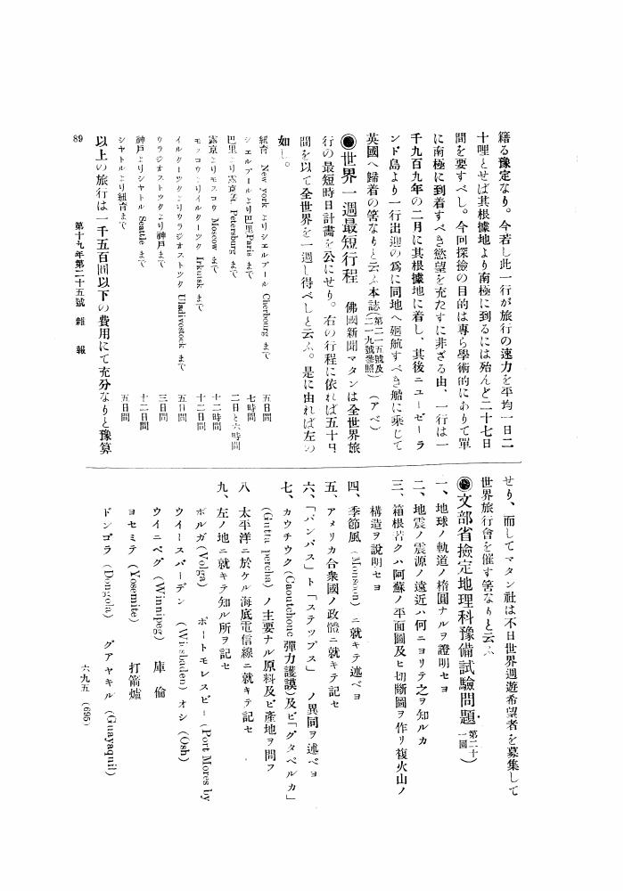
1 0 0 0 OA 世界一週最短行程
- 出版者
- 公益社団法人 東京地学協会
- 雑誌
- 地学雑誌 (ISSN:0022135X)
- 巻号頁・発行日
- vol.19, no.9, pp.695, 1907-09-15 (Released:2010-12-22)
1 0 0 0 OA 九十日間世界一週
- 出版者
- 公益社団法人 東京地学協会
- 雑誌
- 地学雑誌 (ISSN:0022135X)
- 巻号頁・発行日
- vol.1, no.6, pp.264, 1889-06-25 (Released:2010-12-22)
1 0 0 0 OA 八日と十六時間で世界一周飛行
- 出版者
- 公益社団法人 東京地学協会
- 雑誌
- 地学雑誌 (ISSN:0022135X)
- 巻号頁・発行日
- vol.43, no.11, pp.661a-662, 1931-11-15 (Released:2010-12-22)
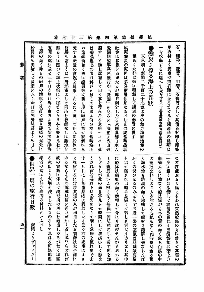
1 0 0 0 OA 世界一周の族行日數
- 出版者
- 公益社団法人 東京地学協会
- 雑誌
- 地学雑誌 (ISSN:0022135X)
- 巻号頁・発行日
- vol.4, no.1, pp.41a-42, 1892-01-25 (Released:2010-12-22)
1 0 0 0 OA プヰプヰアン、ド、サン、マルタンの傳
- 著者
- 鐵椎 學人
- 出版者
- 公益社団法人 東京地学協会
- 雑誌
- 地学雑誌 (ISSN:0022135X)
- 巻号頁・発行日
- vol.16, no.3, pp.203-205, 1904-03-15 (Released:2010-10-13)
1 0 0 0 OA 東京臨海部における港湾再開発と土地利用変化の特性 ―東京都港区海岸地区を事例に―
- 著者
- 太田 慧
- 出版者
- 公益社団法人 東京地学協会
- 雑誌
- 地学雑誌 (ISSN:0022135X)
- 巻号頁・発行日
- vol.124, no.4, pp.525-544, 2015-08-25 (Released:2015-09-17)
- 参考文献数
- 24
Changing land use patterns are clarified from time and space points of view. Relationships are revealed between changing land-use patterns and port functions in the Kaigan area of the Tokyo waterfront, Minato Ward, Tokyo Metropolis. After Tokyo port opened in 1941, the Tokyo waterfront area was used mainly for logistics facilities, such as warehouses and port facilities. However, since the 1960s, the logistics system in the port has been changed by containerization. Port facilities in the Tokyo waterfront area became outdated. In response, the Tokyo waterfront area was redeveloped in the mid-1980s. As a result, significant changes to land use occurred in the Tokyo waterfront area. This study selects three target years, 1985, 1996, and 2012. A mesh analysis is conducted of land use in the Kaigan area, Minato Ward, Tokyo district. From 1985 to 1996, the port policy changed land use in the port district away from logistics facilities, including warehouses and port facilities. From 1985 to 1996, vacant land for redevelopment increased during the period of the asset inflation-led bubble economy. In comparison with the period from 1985 to 1996, during the period of from 1996 to 2012, land use changes in the port district ceased and changes outside the port district continued. These are connected to changing port functions. Since the 2000s, the number of passenger ships using Takeshiba pier has increased, promoting changes to urban land use in the surrounding area. On the other hand, at Shibaura pier, the number of the cargo ships entering remains unchanged, and land in the vicinity has continued to be used for logistics facilities such as warehouses and port facilities. Consequently, relationships are suggested between changing land-use patterns and port functions.
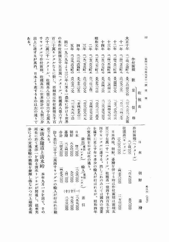
1 0 0 0 OA 清水燧道と清水峠
- 出版者
- 公益社団法人 東京地学協会
- 雑誌
- 地学雑誌 (ISSN:0022135X)
- 巻号頁・発行日
- vol.43, no.9, pp.536-538, 1931-09-15 (Released:2010-12-22)
1 0 0 0 OA 陸上温泉に潜む難培養性・好熱性アーキアの探索
- 著者
- パシットフティサク ウィプー 柳川 勝紀
- 出版者
- 公益社団法人 東京地学協会
- 雑誌
- 地学雑誌 (ISSN:0022135X)
- 巻号頁・発行日
- vol.131, no.6, pp.647-663, 2022-12-25 (Released:2023-01-12)
- 参考文献数
- 97
- 被引用文献数
- 2
Previous single-gene surveys using 16S rRNA gene-based methods have revealed the phylogenetic classification, distribution, and diversity of as-yet uncultivated microbial lineages in diverse environments. In particular, archaeal communities associated with high-temperature terrestrial hot springs and sediments are dominated by novel thermophilic and hyperthermophilic populations whose physiological characters and ecological roles are unknown. Recent advances in metagenomic approaches and computational processing of huge volumes of DNA sequence data have further unveiled the evolutionary importance of uncultivated hot spring archaeal lineages and previously undescribed roles in biogeochemical cycles of carbon, nitrogen, sulfur, and metals. In this review article, the uncultured thermophilic and hyperthermophilic archaeal lineages that have accelerated our understanding of the tree of life are illustrated.
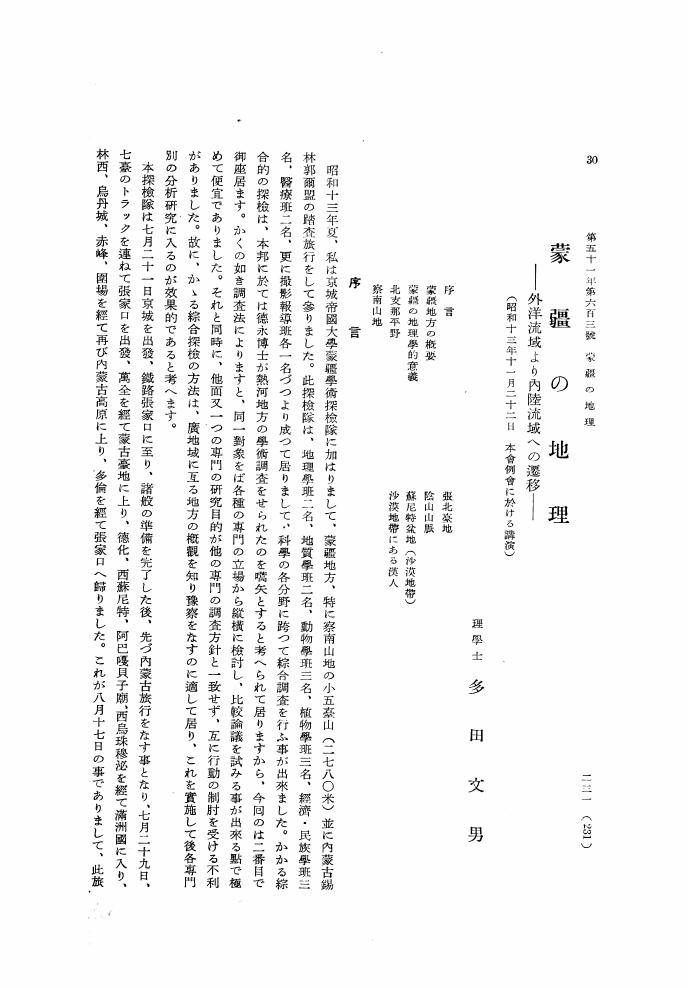
1 0 0 0 OA 蒙彊の地理 外洋流域より内陸流域への遷移
- 著者
- 多田 文男
- 出版者
- 公益社団法人 東京地学協会
- 雑誌
- 地学雑誌 (ISSN:0022135X)
- 巻号頁・発行日
- vol.51, no.5, pp.231-243, 1939-05-15 (Released:2010-10-13)
1 0 0 0 OA 東京における眺望景観の過去・現在・未来
- 著者
- 岡村 祐
- 出版者
- 公益社団法人 東京地学協会
- 雑誌
- 地学雑誌 (ISSN:0022135X)
- 巻号頁・発行日
- vol.122, no.6, pp.1056-1069, 2013-12-25 (Released:2014-01-16)
- 参考文献数
- 26
- 被引用文献数
- 3 4
Views within and from a city make spatial experiments productive. These views make it easier to understand the importance of the image of a city as several urban planners and designers have indicated. On the basis of literature reviews and data gathered from the author's research on views in Tokyo, this paper establishes four phases, namely “foundation,” “creation,” “obscuration,” and “conservation” for views in Edo and Tokyo in an urban transformation context. First, in the foundation phase, this paper focuses on mountain vistas. Block planning in the early Edo period is considered to have been affected by the orientations of Mt. Fuji, Mt. Tsukuba, and a small hill inside the urban area. It also covers views within places of interest that attracted artists, and indicates such undulating landscapes were chosen deliberately. Second, this paper analyzes some views created under modern town planning and urban design systems and techniques, specifically those based on baroque-style urban design in which some vistas of monumental structures such as the Diet Building and Tokyo Station were embedded into the existing urban space. Furthermore, new views created when developing public spaces utilizing existing views or existing monuments reconstruct the spatial order. Third, many views have been obscured in central Tokyo, where building space has become increasingly dense. Furthermore, views of landmarks have also been blocked or restricted by new buildings. Nowadays, there are few Fujimi slopes from which we can command a view of Mt. Fuji. Moreover, vistas and landscapes of traditional Japanese gardens have been artificially disturbed by developments in their settings. Finally, in the conservation phase, Tokyo metropolitan government and local authorities of their respective wards have introduced a system, which we call the “View Conservation Plan,” since the “Landscape Act” was established in 2004. Some vistas of an outstanding monument, landscapes of traditional Japanese gardens, and several local views have at last been recognized to require protection. However, these plans are still at an early stage and we have yet to verify their effectiveness. Furthermore, we must continue to improve views in terms of both theory and management techniques. On the basis of these discussions, this article concludes that we need sophisticated theories and techniques of view management planning particularly to consider how we can create new views, while taking into account existing urban issues, and we need to come up with ideas for taking advantage of views as local resources to raise a shared awareness of the importance of views in our daily experiences.
1 0 0 0 OA 三宅島の噴火およびテクトニクス
- 著者
- 中村 一明
- 出版者
- 公益社団法人 東京地学協会
- 雑誌
- 地学雑誌 (ISSN:0022135X)
- 巻号頁・発行日
- vol.93, no.1, pp.56, 1984-02-25 (Released:2010-10-13)
- 被引用文献数
- 1
1 0 0 0 OA スイスアルプスの周氷河環境と地形変動 ―15年間の観測の総括と展望―
- 著者
- 松岡 憲知 池田 敦
- 出版者
- 公益社団法人 東京地学協会
- 雑誌
- 地学雑誌 (ISSN:0022135X)
- 巻号頁・発行日
- vol.120, no.3, pp.502-535, 2011-06-25 (Released:2011-09-06)
- 参考文献数
- 160
- 被引用文献数
- 4 2
Spacio-temporal variability of contemporary periglacial environments in the Swiss Alps is summarized on the basis of 15 years of field observations of rock weathering, permafrost creep, and soil movements, as well as other recent studies. Diurnal and annual freeze-thaw cycles loosen wet rock joints, which subsequently produce rockfalls. A large episodic rockfall can temporarily raise the rate of rockwall retreat. Rock debris derived from different parent rocks controls the types of rock glacier having different compositions, thermal characteristics, and dynamics. Some rock glaciers at the lower limit of permafrost are accelerating due to intensified mobility, but they may eventually become inactive because of permafrost thawing and the lack of debris supply. On slopes mantled with fine debris, small-scale stripes and lobes tend to develop on the upper part due to thin debris and good drainage, whereas larger scale lobes increase downslope as a result of thicker debris, poor drainage, and gentler slopes. The former mainly responds to shallow diurnal freeze-thaw cycles, whereas the latter reflects frost heave and gelifluction during deeper annual freezing-thawing. A prolonged supply of meltwater further triggers rapid mudflows superimposed on slow solifluction. Climate warming may decrease periglacial activity in seasonal frost areas, whereas in marginal permafrost areas it promotes permafrost warming that temporarily accelerates permafrost creep and/or permafrost thawing that possibly triggers large rockfalls and debris flows.
1 0 0 0 OA ハビタブルトリニティモデルと太陽系におけるハビタブルプラネットの存否
- 著者
- ジェームズ・ ドーム 丸山 茂徳
- 出版者
- 公益社団法人 東京地学協会
- 雑誌
- 地学雑誌 (ISSN:0022135X)
- 巻号頁・発行日
- vol.127, no.5, pp.609-618, 2018-10-25 (Released:2018-11-14)
- 参考文献数
- 32
- 被引用文献数
- 2 2
Habitable Trinity is a new concept for a habitable environment proposed by Dohm and Maruyama (2015). This concept indicates that the coexistence of an atmosphere, an ocean, and a landmass, accompanied by a continuous circulation of material among these three components driven by the Sun, is one of the minimum requirements for life to emerge and evolve. Because a life body consists of carbon (mainly from the atmosphere), oxygen (mainly from an ocean), hydrogen (mainly from an ocean), nitrogen (mainly from the atmosphere), and various nutrients (supplied from a landmass), the presence of water alone is not a sufficient condition. The Habitable Trinity concept can also be applied to other planets such as Mars, Europa, and Titan, and even exoplanets, as a useful index in the quest for life-containing planetary bodies.
1 0 0 0 OA 日本ノ華族地理学ヲ修ムベシ
- 出版者
- 公益社団法人 東京地学協会
- 雑誌
- 地学雑誌 (ISSN:0022135X)
- 巻号頁・発行日
- vol.1, no.5, pp.216-217, 1889-05-25 (Released:2010-12-22)


