1 0 0 0 OA LANDSAT8衛星画像による道有林の風倒被害解析と被害把握への活用
- 著者
- 菅野 正人 阿部 友幸
- 出版者
- 一般社団法人 日本リモートセンシング学会
- 雑誌
- 日本リモートセンシング学会誌 (ISSN:02897911)
- 巻号頁・発行日
- vol.40, no.1, pp.32-37, 2020-01-31 (Released:2020-07-07)
- 参考文献数
- 5
In October 2015, Typhoon 201523 created very strong winds in central Hokkaido, Japan, causing windfall forest damage in Hokkaido prefectural forests. To assess the windfall damage quickly, we applied remote-sensing techniques using LANDSAT8 images (resolution 30 m) to estimate the distribution and area of the windfall damage and gave the results to relevant organizations. We could evaluate large-scale (≥1 ha) windfall damage, and we found that the LANDSAT8 analysis results helped to reduce the effort required in field surveys.
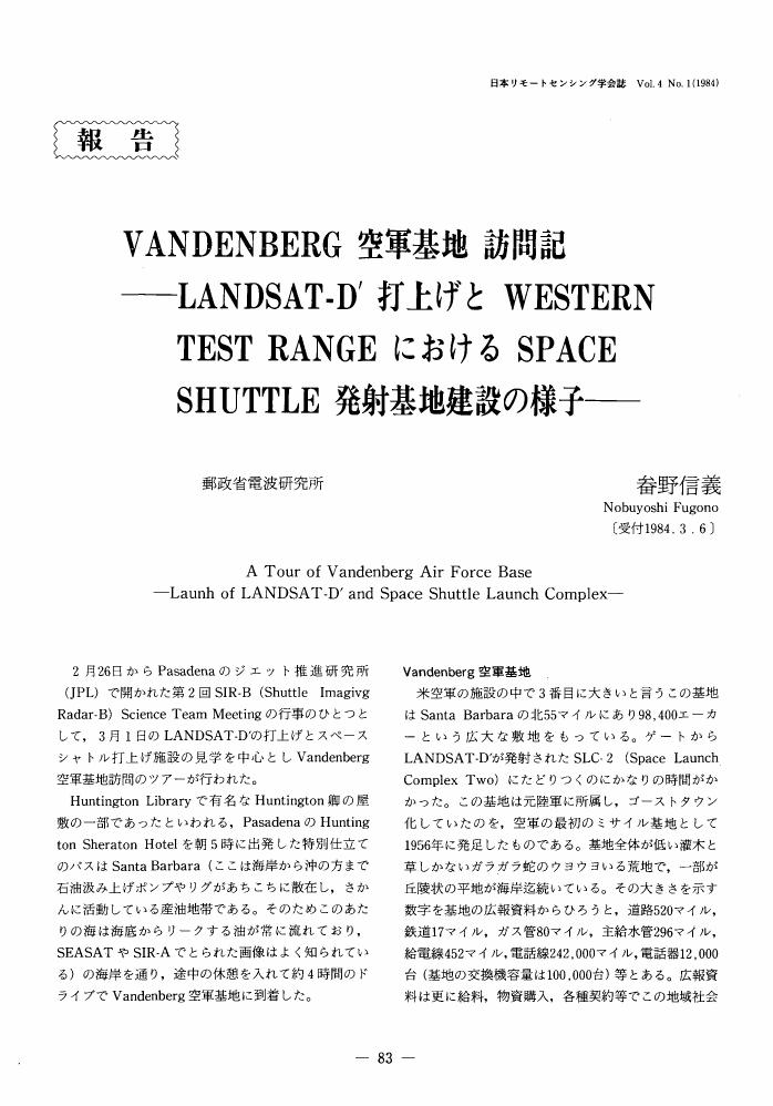
1 0 0 0 OA VANDENBERG空軍基地 訪問記
- 著者
- 畚野 信義
- 出版者
- The Remote Sensing Society of Japan
- 雑誌
- 日本リモートセンシング学会誌 (ISSN:02897911)
- 巻号頁・発行日
- vol.4, no.1, pp.83-89, 1984-03-30 (Released:2009-05-22)
1 0 0 0 OA GOSATシリーズのプロダクト検証について
- 著者
- 森野 勇 内野 修
- 出版者
- 一般社団法人 日本リモートセンシング学会
- 雑誌
- 日本リモートセンシング学会誌 (ISSN:02897911)
- 巻号頁・発行日
- vol.39, no.1, pp.37-42, 2019-02-28 (Released:2019-08-01)
- 参考文献数
- 40
GOSAT product validation activities and future issues are described in this article. An overview of the GOSAT-2 validation plan is also given. The present main ideas of acquiring validation data for the GOSAT-2 are the same as those for the GOSAT. The TANSO-FTS-2 SWIR L2 products of the column-averaged dry-air mole fractions of CO2, CH4, CO, H2O were obtained as follows. Ground-based high-resolution Fourier transform spectrometer data of the TCCON (Total Carbon Column Observing Network) and NDACC IRWG (Network for the Detection of Atmospheric Composition Change-InfraRed Working Group) sites will be used, and some sites will be co-located with lidar and sky-radiometer systems for extensive validation data acquisition. In-situ measurements and/or sampling of CO2, CH4, and CO onboard commercial and charter aircraft by CONTRAIL (Comprehensive Observation Network for TRace gases by AIrLiner) and NOAA (National Oceanic and Atmospheric Administration) will also be employed. The National Institute for Environmental Studies (NIES) validation team, organizations responsibly participating in the GOSAT series project, and research teams selected through Research Announcement will conduct the validation of the products.
1 0 0 0 OA 衛星搭載センサーによる大気温度および成分の測定
- 著者
- 竹内 延夫
- 出版者
- The Remote Sensing Society of Japan
- 雑誌
- 日本リモートセンシング学会誌 (ISSN:02897911)
- 巻号頁・発行日
- vol.6, no.2, pp.99-108, 1986-06-30 (Released:2009-12-11)
- 参考文献数
- 18
Satellite image sensors are widely used in the field of meteorology, land-use classification, resource search and marine monitoring. On another side, "sounders", which derive spatial profile of meteorological parameters and atmospheric species from multichannel data, show the steady progress. In this report the satellite sensors for the middle atmosphere (stratosphere and mesosphere) measurement are surveyed with some examples of the measurement.
1 0 0 0 OA 深層学習を用いた衛星画像の超解像手法
- 著者
- 川嶋 一誠 中村 良介
- 出版者
- 一般社団法人 日本リモートセンシング学会
- 雑誌
- 日本リモートセンシング学会誌 (ISSN:02897911)
- 巻号頁・発行日
- vol.38, no.2, pp.131-136, 2018-04-20 (Released:2018-10-28)
- 参考文献数
- 11
This paper presents a super resolution (SR) method for satellite imagery based on deep learning. From this preliminary study, we found that the performance of SR strongly depends on the variety of the training data set. A new strategy that combines SR and selection is proposed to improve the accuracy and flexibility of the method.
1 0 0 0 OA 雲混入GOSAT-2 FTS-2データの除去のためのCAI-2雲識別の利用法に関する検討
- 著者
- 大石 優 永尾 隆 石田 春磨 中島 孝 松永 恒雄
- 出版者
- The Remote Sensing Society of Japan
- 雑誌
- 日本リモートセンシング学会誌 (ISSN:02897911)
- 巻号頁・発行日
- vol.35, no.5, pp.299-306, 2015-11-20 (Released:2016-05-21)
- 参考文献数
- 15
The preparation of the launching of Greenhouse gases Observing SATellite-2 (GOSAT-2) in fiscal 2017 has been progressing. GOSAT-2 will be equipped with two earth-observing instruments: the Thermal And Near-infrared Sensor for carbon Observation Fourier Transform Spectrometer 2 (TANSO-FTS-2), and the Cloud and Aerosol Imager 2 (TANSO-CAI-2). Cloud contamination within the instantaneous field-of-view (IFOV) of the FTS-2 leads to incorrect estimates of major greenhouse gases concentration. Thus, cloud-contaminated FTS-2 data will be identified and rejected using the CAI-2. The observed time difference between the FTS-2 and CAI-2 may be longer than the FTS and CAI because the CAI-2 is a push-broom imaging sensor which has the backward and forward looking bands. Consequently, we examined the probability of cloud contamination within the IFOV of the FTS-2 by moving cloud though it was cloud-free region when the CAI-2 observed there. And we propose a method using the CAI-2 cloud discrimination for screening of cloud-contaminated FTS-2 data.
1 0 0 0 OA 雲エアロゾル放射ミッション「EarthCARE」
- 著者
- 菊池 麻紀 沖 理子 久保田 拓志 吉田 真由美 萩原 雄一朗 高橋 千賀子 大野 裕一 西澤 智明 中島 孝 鈴木 健太郎 佐藤 正樹 岡本 創 富田 英一
- 出版者
- 一般社団法人 日本リモートセンシング学会
- 雑誌
- 日本リモートセンシング学会誌 (ISSN:02897911)
- 巻号頁・発行日
- vol.39, no.3, pp.181-196, 2019-07-20 (Released:2020-01-20)
- 参考文献数
- 66
The Earth, Clouds, Aerosols and Radiation Explorer (EarthCARE) mission is a European-Japanese joint satellite mission that aims to provide the global observations necessary to advance our understanding of clouds and aerosols and their radiative effect on the Earth’s climate system. Toward this goal, the EarthCARE satellite loads two active instruments, Cloud Profiling Radar (CPR) and Atmospheric Lidar (ATLID), offering vertical profiles of clouds and aerosols, together with light drizzles, whose properties are extended horizontally using complementary measurement by Multispectral Imager (MSI). The properties thus obtained are then used to estimate outgoing shortwave and longwave radiation at the top of the atmosphere, which is evaluated against measurements taken by the fourth sensor, Broadband Radiometer (BBR). Such a “closure assessment” is used to give feedback to the microphysical property profiles and optimize them, if necessary, to offer consistent three-dimensional datasets of cloud-aerosol-precipitation-radiation fields. EarthCARE’s integrative global observation of clouds, aerosols and radiation with the new measurement capabilities, particularly with Doppler velocity, is expected to not only extend the A-Train measurement toward a longer-term climate record, but also to advance our perspective on the fundamental role that global clouds have within the climate system in the context of their relationships to dynamical processes and their interactions with aerosols and radiation. This review paper provides an overview of the mission, the satellite and its payloads, with a particular focus on the algorithm and products developed in Japan, and areas of scientific study expected to progress.
1 0 0 0 OA 衛星データに見るチャド湖の水域および植物域の変化
- 著者
- 中山 裕則 田中 總太郎
- 出版者
- The Remote Sensing Society of Japan
- 雑誌
- 日本リモートセンシング学会誌 (ISSN:02897911)
- 巻号頁・発行日
- vol.10, no.1, pp.37-49, 1990-03-30 (Released:2009-05-29)
- 参考文献数
- 11
Lake Chad is located in the Sahelian zone along southern boundary of Sahara desert. Expansion and reduction of water area were repeated several times since the prehistoric period. The authors found that the recent Lake Chad water area observed from satellite data is far smaller than that drawn on several maps. The authors investigate a change of Lake Chad water and vegetation area in recent ten and several years using LANDSAT and NOAA data. The mosaicked LANDSAT/MSS image of 1973 and seven NOAA/AVHRR data during the period 1982-1988 are obtained to analyze the distribution change of vegetation.Water and vegetation area analyzed from the VI (Vegetation Index) and NVI (Normalized Vegetation Index) obtained from each satellite data shows the decreasing tendency year by year. The close relationship between this change and the recent climatic data, such as annual precipitation, relative humidity and atmospheric temperature was recognized. This result may contribute to a monitoring of the present desertification in Africa.Concluding remarks;1) The closed relationship was seen between the change of the area covered with water and/or vegetation and the annual precipitation change.2) The area decrease corresponds to the decrease of relative humidity in the area and also the increase of the atmospheric temperature.3) The decrement of the area reaches 40% during 10 years from 1973 to 1982. The area of water and vegetation in 1988 became 30% or less of that in 1973.4) The recent Lake Chad is in a minimum size during the past 200 years.
1 0 0 0 月クレータ中央丘表面岩相の検証
- 著者
- 坪井 直 佐藤 昌枝 高橋 正幸 佐伯 和人
- 出版者
- 一般社団法人 日本リモートセンシング学会
- 雑誌
- 日本リモートセンシング学会誌 = Journal of the Remote Sensing Society of Japan (ISSN:02897911)
- 巻号頁・発行日
- vol.23, no.4, pp.340-354, 2003-12-25
- 参考文献数
- 13
Scaling relation of craters indicates that the lunar central peak material can be related to the lower crust of the moon. Craters, ranging in diameter from 40 to 180 km, are believed to have exhumed material from 5-30 km beneath the surface to form the peaks. Therefore, the craters which have central peaks are selected as probable candidates for a landing site in the future Japanese lunar mission. Tompkins and Pieters (1999) investigated the central peaks of 109 impact craters across the Moon and classified lithologies of central peaks into eleven kinds of plutonic rocks using Clementine UVVIS five-color spectra.<BR>In order to verify the estimated lithologies, influences of space weathering, photometric condition, and quenched glass phase on the estimation were examined by detailed spectral data analysis. The relation between crater diameter and central peak lithologies was also examined.<BR>As a result, we conclude that the estimated mafic lithologies at the sunny side of central peaks are probable. Aristillus, Bhabha, Birkeland, Bose, Bullialdus, Finsen, Fizeau, Jackson, King, Maunder, Stevinus, Tsiolkovskiy, Tycho, Vitello, White, and Zucchius are suitable sampling sites for finding lower crust rocks among 109 central-peak craters. Additionally, we searched out olivine bearing lithologies at the central peaks. The central peaks of Jackson and Tsiolkovsky were regarded as suitable sampling sites for finding olivine bearing lithologies among 109 craters. Strange crater walls, which have more mafic lithologies than their central peaks, were found in Aristarchus, Burg, and Plinius. They suggest the existence of an unknown factor which changes the spectral properties to be more mafic.
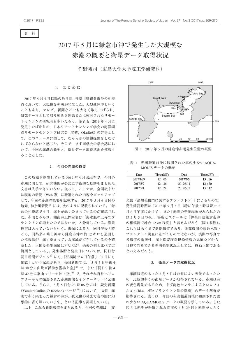
1 0 0 0 OA 2017年5月に鎌倉市沖で発生した大規模な赤潮の概要と衛星データ取得状況
- 著者
- 作野 裕司
- 出版者
- 一般社団法人 日本リモートセンシング学会
- 雑誌
- 日本リモートセンシング学会誌 (ISSN:02897911)
- 巻号頁・発行日
- vol.37, no.3, pp.269-270, 2017-07-21 (Released:2018-01-31)
- 参考文献数
- 10
- 被引用文献数
- 1
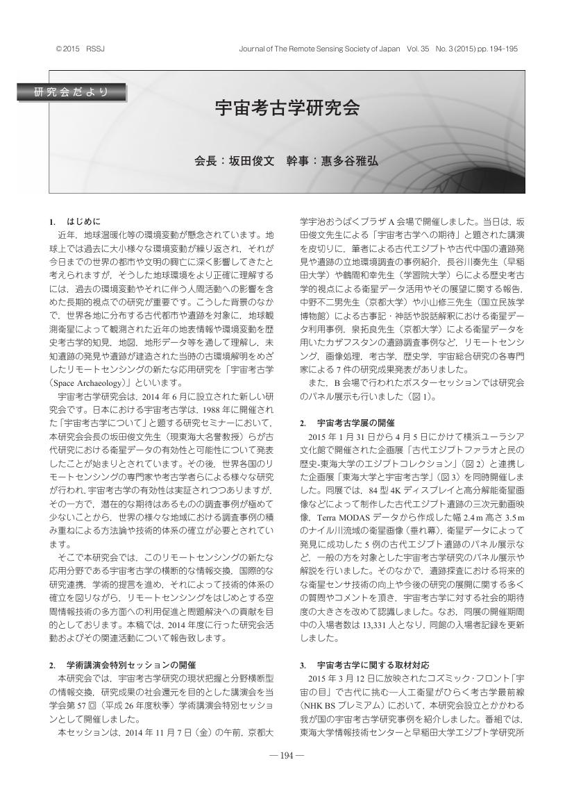
1 0 0 0 OA 宇宙考古学研究会
- 著者
- 坂田 俊文 惠多谷 雅弘
- 出版者
- 一般社団法人 日本リモートセンシング学会
- 雑誌
- 日本リモートセンシング学会誌 (ISSN:02897911)
- 巻号頁・発行日
- vol.35, no.3, pp.194-195, 2015-07-03 (Released:2016-02-04)
1 0 0 0 衛星観測データによる大規模生産野菜収穫予測情報の提供に関する検討
- 著者
- 雷 莉萍 斎藤 元也 安田 嘉純 范 海生 高須 理
- 出版者
- 一般社団法人 日本リモートセンシング学会
- 雑誌
- 日本リモートセンシング学会誌 = Journal of the Remote Sensing Society of Japan (ISSN:02897911)
- 巻号頁・発行日
- vol.27, no.2, pp.129-140, 2007-04-10
- 参考文献数
- 10
- 被引用文献数
- 1
In order to grasp the balance between supply and demands of vegetables such as cabbage, lettuce and Chinese cabbage which are produced on a large scale, forecast of their harvest time and area is a problem to be awaiting solution in Japan. This study proposed an approach of forecasting the harvest time and area of cabbage by using SPOT images in Tsumagoi country and discussed practical application to provide forecasting information. Firstly, cabbages field-based were extracted by the proposed post-classification method using the field polygon data. The field polygon data is a section of cultivated field which was interpreted from the digital aerial photography. Next, the pixel-based cabbages harvest time was estimated for extracted cabbage fields from the profiles of normalized difference vegetation index (NDVI) corresponding to cabbage growing and relationship between NDVI and harvest date. Results of extracted cabbage field and estimated harvesting period respectively derived from SPOT5 images of May 5 and July 28, 2005, were verified by ground investigation. According to the profile of NDVI, cabbage pixels with multiple growing stages in the image can be divided into two groups of leaves number increase term and leaves weight increase term. Results for the cabbages during the early stage in term of leaves number increase, presented a low accuracy because their spectral reflectance in SPOT is similar to bareland. Results for the cabbages in term of leaves weight increase showed strong coincidence with ground investigation. Furthermore, it was found that results of forecasted harvest area respectively from multi-years SPOT image can give a trend analysis of cabbage possible supplying field comparing with the historical information of the past harvested field and shipped amount to market. As a result, this study suggested an operational application of satellite remote sensing in forecast of vegetable harvest time and area, aimed to provide the services for the coordination between supply and market demand of vegetables. Moreover the past information contained in ancillary data such as remote sensing data, shipped field data and so on should be incorporated into the forecasting process.
1 0 0 0 OA ドローンリモートセンシングによる作物·農地診断情報計測とそのスマート農業への応用
- 著者
- 井上 吉雄 横山 正樹
- 出版者
- 一般社団法人 日本リモートセンシング学会
- 雑誌
- 日本リモートセンシング学会誌 (ISSN:02897911)
- 巻号頁・発行日
- vol.37, no.3, pp.224-235, 2017-07-21 (Released:2018-01-31)
- 参考文献数
- 39
Drone-based remote sensing has a great potential for spatial diagnostics of crops and soils in the information-based agricultural management (Smart Agriculture). This paper reviews the background and advanced applications of drone-based remote sensing to smart agriculture. The necessary performance of optical and thermal sensing systems, data processing techniques, and algorithms for assessment of crop and soil variables are discussed based on case studies. Drone-based remote sensing would be useful for timely and efficient monitoring of crops, soils, weeds, diseases, etc., mainly in farms on the scale of ∼100 ha. Sophisticated systems and workflow have to be established to provide not only useful on-demand information but also sufficient cost-benefits.
- 著者
- 眞子 直弘
- 出版者
- 一般社団法人 日本リモートセンシング学会
- 雑誌
- 日本リモートセンシング学会誌 (ISSN:02897911)
- 巻号頁・発行日
- vol.37, no.1, pp.39-44, 2017
1 0 0 0 OA 陸奥湾海況自動観測ブイデータとの照合によるNOAA/AVHRR海表面温度推定の精度検証
- 著者
- 丹波 澄雄 相馬 孝志 吉田 功 横山 隆三
- 出版者
- 社団法人 日本リモートセンシング学会
- 雑誌
- 日本リモートセンシング学会誌 (ISSN:02897911)
- 巻号頁・発行日
- vol.8, no.4, pp.381-392, 1988-12-30 (Released:2009-12-11)
- 参考文献数
- 13
陸奥湾海況自動観測ブイシステムによる実測水温データを用いて,AVHRR水温から推定される海表面温度の精度を調べた。Ch.4及びCh.5の輝度温度の二重回帰式では,標準誤差は0.5℃程度で推定できた。2つのスペクトルバンドを用いることによって,大気効果にともなう誤差は効果的に補正できたが,大気一海面の相互作用による誤差は補正できなかった。現在さらにデータ数を増した場合やCh.5のバンドを有していない偶数号(6,8,10号)のNOAAデータの解析も進行中であり,これらの結果を総括してAVHRRから得られる水温情報の精度の総合評価をおこなう予定である。また大気一海面の相互作用と熱放射との因果関係の解明や測定原理の異なる水温情報の利用及び判読についても,今後の研究に待つところが大きい。本研究に用いたAVHRR画像データは東京大学生産技術研究所より,陸奥湾海況自動観測ブイデータは青森県水産増殖センターより,気象観測記録は青森地方気象台から提供された。ここに各位に対し深謝するものである。なお本研究は文部省科学研究費特定研究(1)「宇宙からのリモートセンシングデータの高次利用に関する研究」(昭和60~62年度)によりおこなわれたものである。
1 0 0 0 OA ニュース
- 出版者
- 一般社団法人 日本リモートセンシング学会
- 雑誌
- 日本リモートセンシング学会誌 (ISSN:02897911)
- 巻号頁・発行日
- vol.8, no.4, pp.436-454, 1988-12-30 (Released:2009-05-22)
1 0 0 0 RADARSAT‐SAR画像を用いた時系列湛水状況の把握
- 著者
- 大坪 義昭 伊藤 忠夫 飯田 秀重
- 出版者
- The Remote Sensing Society of Japan
- 雑誌
- 日本リモートセンシング学会誌 (ISSN:02897911)
- 巻号頁・発行日
- vol.20, no.4, pp.440-448, 2000
メコン河下流域には湛水の常襲地域が広範に分布しており,地域の社会・経済発展を阻害している。頻発する湛水被害を軽減し,安定的な農業生産を確保するためには広範囲におよぶ湛水被害状況を迅速かっ継続的に把握する必要がある。現在は農家の聴き取り調査によりその状況を把握しているが,被災後の対応検討に反映できる十分な情報を得ることが出来ていない。<BR>このため,湛水災害の発生に即応し,撮影場所,撮影日などが指定できる全天候型レーダ観測衛星であるRADARSATのSAR画像に注目し,その利用を試みた。この結果,湛水被害の時系列画像を合成した湛水図の作成が可能となった。
- 著者
- 夏秋 嶺 渡邉 学 大木 真人 本岡 毅 鈴木 新一 島田 政信
- 出版者
- 社団法人 日本リモートセンシング学会
- 雑誌
- 日本リモートセンシング学会誌 (ISSN:02897911)
- 巻号頁・発行日
- vol.37, no.1, pp.1-12, 2017-01-31 (Released:2017-08-23)
- 参考文献数
- 20
In this paper, we evaluate the potential accuracy for the volcanic ash coverage using interferometric coherence of the Phased Array type L-band Synthetic Aperture Radar-2 (PALSAR-2) aboard the Advanced Land Observing Satellite-2 (ALOS-2, “DAICHI-2”). In order to detect the disaster affected area from interferometric coherence, we require pre-disaster and co-disaster pairs. That is, we require at least two interferometric archives taken before the disaster in addition to one archive after the disaster. The ideal multi-temporal analysis is performed with of course, highest resolution pairs. However, we do not always have enough number of the archive especially in the early stage of the satellite mission. Here, we use not only Stripmap but also ScanSAR mode archive in order to achieve enough number of pairs. The combination of the Stripmap and ScanSAR archives will help to increase the interferometric pair while it suffers the spatial resolution and coherency. Especially for ALOS-2 PALSAR-2 data, it has not been evaluated the potential accuracy of such Stripmap-ScanSAR interferometry method. In this paper, we use the volcanic eruption event in May 2015 at Kuchinoerabu-jima Island, Kagoshima prefecture, Japan for the case study. We evaluated the proposed method with the truth data which was achieved by manual classification using aerial photography. Experimental results showed that the proposed method marked approximately 91% overall accuracy with 0.64 Kappa coefficients to detect the dense volcanic ash coverage.
- 著者
- 吉田 圭吾 高山 泰一 福原 弘太郎 内田 敦 関根 秀真 鹿志村 修
- 出版者
- 社団法人 日本リモートセンシング学会
- 雑誌
- 日本リモートセンシング学会誌 (ISSN:02897911)
- 巻号頁・発行日
- vol.32, no.5, pp.287-299, 2012-11-20 (Released:2013-08-24)
- 参考文献数
- 53
This paper presents a monitoring method for paddy fields with hyperspectral remote sensing images in West Java, Indonesia. The statistical modeling method called sparse reguralization is introduced in two forms, that is, LASSO regression for the rice yield estimation and sparse discriminant analysis for the growth stage classification of rice plants, in order to take advantages of the detailed reflectance spectrum measured by numerous bands and to overcome the difficulties in hyperspectral image analysis such as model overfitting. Results of the experiment with airborne hyperspectral images measured by HyMap indicate that sparse regularization can predict paddy conditions with higher degree of accuracy than several estimation methods commonly used in remote sensing applications, such as normalized difference spectral index, partial least squares, or support vector machines. Besides, the prediction models have a limited number of bands which are expected to be informative to figure out the rice growth situation. The overall error between predicted rice yield of the target area and agricultural statistics is 6.40 %, showing the potential effectiveness of methods described in this paper.
1 0 0 0 OA sinsai. infoとクライシスマッピング
- 著者
- 古橋 大地
- 出版者
- 社団法人 日本リモートセンシング学会
- 雑誌
- 日本リモートセンシング学会誌 (ISSN:02897911)
- 巻号頁・発行日
- vol.31, no.3, pp.376-377, 2011-07-30 (Released:2012-03-13)
- 被引用文献数
- 1


