1 0 0 0 OA 統計的アプローチによる地殻活動解明
- 著者
- 河村 将 工藤 健 山岡 耕春 古本 宗充
- 出版者
- 公益社団法人 日本地震学会
- 雑誌
- 地震 第2輯 (ISSN:00371114)
- 巻号頁・発行日
- vol.63, no.3, pp.123-137, 2011-02-25 (Released:2012-03-26)
- 参考文献数
- 16
- 被引用文献数
- 1
We developed a comprehensive statistical validation system of crustal activities with which to easily address spatially and temporally sufficient range of a database of geophysical measures. The system involves carrying out the following four processes: (1) creating the database of geophysical measures with spatially and temporally gridded and other convenient formats, (2) comparing any two geophysical measures, at least one of which is time-variable, (3) classifying the spatiotemporal relationship of these geophysical measures into some types by defining a statistical index, and (4) evaluating and validating the relationships between classification results and the occurrence of target physical events such as large inland earthquakes. With the system, we aim for making a statistical model, or an appropriate rule for monitoring of crustal activities. Formulation of the rule is, in turn, expected to lead to comprehensive understanding of crustal activities. Here, we focused on the relations of seismicity and strain rate to introduce the conception and algorithm of the system. The system requires input of the database and other parameters and leads to output of various spatiotemporal distributions, 2-by-2 contingency tables, and probability gains for prediction and alarm rates for target physical events.
1 0 0 0 OA E18 草津白根山で観測された単色地震
- 著者
- 及川 純 藤田 英輔 今西 祐一 山岡 耕春 井田 喜明
- 出版者
- 特定非営利活動法人日本火山学会
- 雑誌
- 日本火山学会講演予稿集
- 巻号頁・発行日
- vol.1994, no.2, 1994-10-20
1 0 0 0 OA クローザ国際収支発展段階説の検証
- 著者
- 尾田 温俊
- 出版者
- 福山大学経済学研究会
- 雑誌
- 福山大学経済学論集 (ISSN:02884542)
- 巻号頁・発行日
- vol.34, no.1, pp.63-86, 2009-04
1 0 0 0 OA P1-14 火山活動を時空間的に俯瞰する試み(ポスターセッション)
- 著者
- 横山 博文 藤原 善明 井上 和久 菅野 智之
- 出版者
- 特定非営利活動法人日本火山学会
- 雑誌
- 日本火山学会講演予稿集
- 巻号頁・発行日
- vol.2014, 2014-11-02
1 0 0 0 OA 1983 年三宅島噴火前後の地震活動
- 著者
- 宇平 幸一 永福 順則 山本 博二 横山 博文 荒木 卓次
- 出版者
- 特定非営利活動法人日本火山学会
- 雑誌
- 火山. 第2集 (ISSN:04534360)
- 巻号頁・発行日
- vol.29, pp.S36-S44, 1984-12-28
- 被引用文献数
- 1
A swarm of earthquakes, precursory indication of the eruption, began to be recorded at Miyakejima Weather Station at 1358 on 3 October, 1983, although none was recorded at any other seismic station of JMA until the onset of the eruption. On the other hand, another swarm of earthquakes that resumed after the onset of the eruption was caught by seismographs around Miyakejima. Precursory earthquakes were grouped into two types, i.e., high frequency earthquakes and low frequency ones, according as their predominant frequencies were higher than 2.5 Hz or not. It is unpromissing to try to determine hypocenters of precursory events, but, both the first motions of 5 high frequency earthquakes and the particle motions of 2 low frequency ones in the horizontal plane inidicate that their sources were located to the SW of the seismograph, probably on the island. Gradually increasing continuous tremors started immediately after the earthquake at 1522 which had a predominant frequency of about 1.4 Hz from initial motion through coda. The following continuous tremor had almost the same predominant frequency. Major eruptive activity probably began with this low frequency earthquake. The magnitudes of two large precursory earthquakes were estimated to be about 3.0 by applying the relation between the magnitudes of post-eruption earthquakes and their maximum amplitudes or duration times of vertical component at Miyakejima Weather Station. However, this estimation was not appropriate because earthquakes of such size were large enough to be recorded at seismic stations other than Miyakejima. The seismograph at the sea bottom off Omaezaki (named "TK1OBS" in the seismological bulletin of Japan Meterological Agency), about 180 km W of Miyakejima, detected post-eruption earthquakes of magnitude about larger than 2.5, but did not record any pre-eruption earthquakes. The background noise on 3-4 October had remained at a similar level of 0.02 milikine, which corresponds to the expected maximum velocity of the vertical component on TK1OBS when an earthquake of magnitude 2.4 occurs at Miyakejima. Therefore, precursory earthquakes seem to be of magnitude less than 2.4.
- 著者
- 横山 博文
- 出版者
- 日本地質学会
- 雑誌
- 日本地質学会学術大会講演要旨
- 巻号頁・発行日
- vol.111, 2004-09-10
1 0 0 0 OA 伊豆半島東方沖の群発地震の特性と1989年の手石海丘の噴火
- 著者
- 長宗 留男 横山 博文 福留 篤男
- 出版者
- 特定非営利活動法人日本火山学会
- 雑誌
- 火山 (ISSN:04534360)
- 巻号頁・発行日
- vol.37, no.1, pp.1-8, 1992-04-01
- 被引用文献数
- 2
Earthquake swarms which have frequently occurred off the east coast of the Izu Peninsula since 1978 are investigated, and the relationships between the swarms and the submarine volcanic eruption at Teisi Knoll in 1989 are discussed. The results are summarized as follows: 1) Shapes of epicentral areas of the earthquake swarms can be classified into the following two types, Type I and Type II. The former is an ellipse elongated NE-SW; the latler, an eilipse elongated approximately NW-SE. The swarms in the early years are of Type I, and those in the later stage (in particular, since 1984), for the most part, are of Type II.2) The largest earthquakes in the respective swarms for Type I are located along a straight line in the NE-SW direction, and those for Type II, along a curve line in the E-W to NW-SE directions. These two lines are probably indicative of active tectonic lines. 3) The epicentral areas for Type I and Type II, migrate periodically with a recurrece time of 6-7 years along the tectonic line in the NE-SW direction, and with a recurrence time of about 3.7 years along the tectonic line in the E-W to NW-SE directions, respectively. 4) Teisi Knoll where the submarine volcanic eruption took place on July 13, 1989, is situated in the northwestern part of the tectonic line trending E-W to NW-SE. The eruption was triggerd by the largest shock in the swarm which occurred around the northwestern end of the line.
1 0 0 0 OA 地震の原因に就て
- 著者
- 石本 巳四雄
- 出版者
- 公益社団法人 東京地学協会
- 雑誌
- 地学雑誌 (ISSN:0022135X)
- 巻号頁・発行日
- vol.48, no.9, pp.399-412, 1936-09-15 (Released:2010-10-13)
1 0 0 0 OA 地塊運動の物理的考察
- 著者
- 石本 巳四雄
- 出版者
- The Association of Japanese Geographers
- 雑誌
- 地理学評論 (ISSN:00167444)
- 巻号頁・発行日
- vol.4, no.6, pp.551-561, 1928-06-01 (Released:2008-12-24)
- 参考文献数
- 13
1 0 0 0 OA 徳川時代に於ける地震學 (完)
- 著者
- 石本 巳四雄
- 出版者
- 公益社団法人 日本地震学会
- 雑誌
- 地震 第1輯 (ISSN:00371114)
- 巻号頁・発行日
- vol.9, no.8, pp.369-376, 1937-08-15 (Released:2010-03-09)
1 0 0 0 OA 地震に關係して重力は變化するか
- 著者
- 石本 巳四雄
- 出版者
- 公益社団法人 日本地震学会
- 雑誌
- 地震 第1輯 (ISSN:00371114)
- 巻号頁・発行日
- vol.1, no.4, pp.241-249, 1929-04-15 (Released:2010-11-17)
1 0 0 0 OA 徳川時代に於ける地震學 (5)
- 著者
- 石本 巳四雄
- 出版者
- 公益社団法人 日本地震学会
- 雑誌
- 地震 第1輯 (ISSN:00371114)
- 巻号頁・発行日
- vol.9, no.7, pp.330-336, 1937-07-15 (Released:2010-03-09)
1 0 0 0 OA 日本古來の地震原因觀
- 著者
- 石本 巳四雄
- 出版者
- 公益社団法人 日本地震学会
- 雑誌
- 地震 第1輯 (ISSN:00371114)
- 巻号頁・発行日
- vol.3, no.1, pp.39-44, 1931-01-15 (Released:2010-11-17)
1 0 0 0 OA 地震斷層と地塊運動
- 著者
- 石本 巳四雄
- 出版者
- 公益社団法人 日本地震学会
- 雑誌
- 地震 第1輯 (ISSN:00371114)
- 巻号頁・発行日
- vol.9, no.8, pp.350-354, 1937-08-15 (Released:2010-03-09)
- 参考文献数
- 4
1 0 0 0 OA 「シリカ」傾斜計
- 著者
- 石本 巳四雄
- 出版者
- 公益社団法人 日本地震学会
- 雑誌
- 地震 第1輯 (ISSN:00371114)
- 巻号頁・発行日
- vol.1, no.1, pp.17-32, 1929-01-15 (Released:2010-11-17)
1 0 0 0 OA 徳川時代に於ける地震學 (4)
- 著者
- 石本 巳四雄
- 出版者
- 公益社団法人 日本地震学会
- 雑誌
- 地震 第1輯 (ISSN:00371114)
- 巻号頁・発行日
- vol.9, no.6, pp.286-290_1, 1937-06-15 (Released:2010-03-09)
1 0 0 0 OA 津浪と高潮とに就て
- 著者
- 石本 巳四雄
- 出版者
- 公益社団法人 日本地震学会
- 雑誌
- 地震 第1輯 (ISSN:00371114)
- 巻号頁・発行日
- vol.7, no.8, pp.438-441, 1935-08-15 (Released:2010-03-09)
1 0 0 0 OA 正誤表
- 出版者
- 公益社団法人 日本地震学会
- 雑誌
- 地震 第1輯 (ISSN:00371114)
- 巻号頁・発行日
- vol.5, no.3, pp.192a-192a, 1933 (Released:2010-11-17)
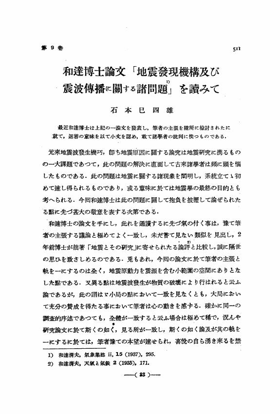
1 0 0 0 OA 和達博士論文「地震發現機構及び震波傳播に關する諸問題」を讀みて
- 著者
- 石本 巳四雄
- 出版者
- 公益社団法人 日本地震学会
- 雑誌
- 地震 第1輯 (ISSN:00371114)
- 巻号頁・発行日
- vol.9, no.11, pp.511-522, 1937-11-15 (Released:2010-03-09)
- 参考文献数
- 15


