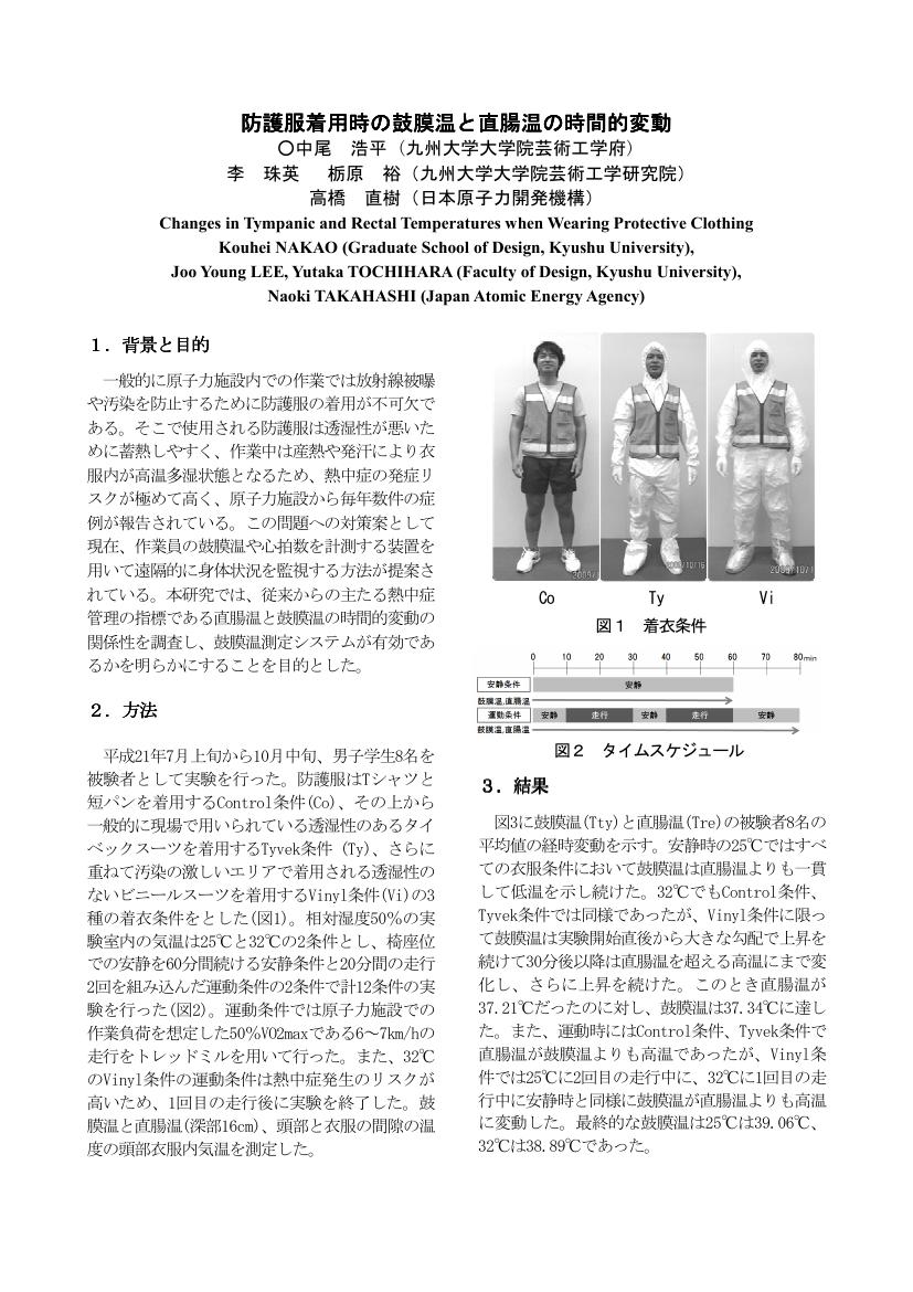
1 0 0 0 OA 防護服着用時の鼓膜温と直腸温の時間的変動
- 著者
- 中尾 浩平 李 珠英 栃原 裕 高橋 直樹
- 出版者
- 一般社団法人 日本人間工学会
- 雑誌
- 日本人間工学会大会講演集 日本人間工学会第51回大会
- 巻号頁・発行日
- pp.168-169, 2010 (Released:2011-07-30)
- 著者
- 石川 恭匡 高橋 直樹 高浜 琢 野中 謙一郎
- 出版者
- 公益社団法人 自動車技術会
- 雑誌
- 自動車技術会論文集 (ISSN:02878321)
- 巻号頁・発行日
- vol.50, no.5, pp.1487-1493, 2019 (Released:2019-09-25)
- 参考文献数
- 13
- 被引用文献数
- 1
近年,自動運転レベル2でも走行制御可能なエリアの拡大が望まれている.本研究では,車線情報と先行車情報とカーナビ情報と車両挙動情報をMoving Horizon Estimationによりフュージョンすることで,操舵制御性能の改善が可能となることを示す.
1 0 0 0 OA 詳細地形データと高密度ボーリングデータに基づく長町―利府線断層帯の活構造マッピング
- 著者
- 高橋 直也 遠田 晋次
- 出版者
- 一般社団法人 日本活断層学会
- 雑誌
- 活断層研究 (ISSN:09181024)
- 巻号頁・発行日
- vol.2022, no.56, pp.1-12, 2022-06-28 (Released:2022-12-28)
- 参考文献数
- 46
Earthquake surface rupture appears not only along the principal fault that caused the earthquake but also pre-existing other faults or folds nearby. Although surface ruptures along subsidiary structures are often small and discontinuous, given its extensive occurrence, comprehensive mapping of active faults and folds is necessary for understating strain distribution within a fault zone to evaluate fault displacement hazards. The Nagamachi-Rifu line fault zone, consisting of sub-parallel reverse faults, runs across Sendai City, and recent studies suggest that there are several active structures not shown on existing active fault maps. However, it is difficult to obtain their convincing geomorphic evidence because their surface deformation is subtle and is easily obscured by erosion and artificial modification. To reevaluate active faults and folds of the fault zone, we studied shallow geologic structure across the fault zone using a borehole dataset and conducted a geomorphological analysis using 2 m DEM. Our results indicate that the fault surface of the Nagamachi-Rifu line does not reach the surface causing flexural deformation at the surface rather than brittle deformation, as the previous studies pointed out based on seismic reflection surveys. We also found that the deformation zone of the Dainenjiyama fault is broader than previously thought. This is probably because its fault scarp retreated by hundreds of meters due to erosion. To the northwest of the Dainenjiyama fault, there is an NNE-SSW trending zone where the base of the Quaternary deposit was elevated compared to its surroundings, which may correspond to the previously estimated active anticline. The ratio of vertical displacement of the Nagamachi-Rifu line, Dainenjiyama fault, and the anticline is estimated to be 5-6: 3: 1. We could not newly find other faults or folds, including those exposed at outcrops reported in previous studies, suggesting that there are several active structures of which cumulative displacement is too small to be observed in our analysis. Nonetheless, a shallow geologic structure revealed from a borehole dataset, coupled with detailed topographic analysis, can help to locate active structures with minor surface expression and evaluate seismic hazards.
1 0 0 0 OA B細胞性リンパ腫と免疫グロブリン遺伝子のsomatic mutation
- 著者
- 田丸 淳一 高橋 直樹 磯部 公一 糸山 進次
- 出版者
- The Japanese Society for Lymphoreticular Tissue Research
- 雑誌
- 日本リンパ網内系学会会誌 (ISSN:13429248)
- 巻号頁・発行日
- vol.39, no.5-6, pp.259-263, 2000-02-15 (Released:2009-10-30)
- 参考文献数
- 17
Antibody molecules produced by B cells are engaged in the humoral immunity. Antibodies have molecular diversity to respond specifically to each of innumerable species of antigen. Antibody molecular diversity is the immediate result of immunoglobulin gene diversity which is formed by complicated processes including VDJ rearrangement and is thought to reflect differentiation status of B cells. Somatic mutation occurs in these immunoglobulin genes after main VDJ rearrangement and also plays an important role in further widening of molecular diversity.In recent years, the significance of somatic mutation of immunoglobulin gene in B-cell differentiation process was made clear, and as the result, identification of the normal counterpart of tumor cells became possible on gene level studies, which had been judged mainly from histocytological and immunohistochemical studies.
1 0 0 0 OA 破骨細胞の分化と機能を調節する骨芽細胞の役割とその分子機構
- 著者
- 宇田川 信之 高見 正道 自見 英治郎 伊藤 雅波 小林 幹一郎 須沢 徹夫 片桐 岳信 新木 敏正 高橋 直之
- 出版者
- 昭和大学・昭和歯学会
- 雑誌
- 昭和歯学会雑誌 (ISSN:0285922X)
- 巻号頁・発行日
- vol.21, no.1, pp.64-69, 2001-03-31 (Released:2012-08-27)
- 参考文献数
- 10
破骨細胞は高度に石灰化した骨組織を破壊・吸収する唯一の細胞である.骨吸収を司る多核の破骨細胞はマクロファージ系の前駆細胞より分化する.この破骨細胞の分化と機能は, 骨形成を司る骨芽細胞あるいは骨髄細胞由来のストローマ細胞により厳格に調節されている.大理石骨病を呈するop/opマウスの解析より, 骨芽細胞が産生するマクロファージコロニー刺激因子 (M-CSF) が破骨細胞前駆細胞の分化に必須な因子であることが示された.更に最近, 骨芽細胞が発現し破骨細胞の分化と機能を調節する腫瘍壊死因子 (TNF) ファミリーに属する破骨細胞分化因子 (osteoclast differentiation factor, ODF/receptor activator of NF-κB ligand, RANKL) がクローニングされ, 骨芽細胞による骨吸収の調節メカニズムのほぼ全容が解明された.骨吸収の調節は, Ca代謝調節ホルモンと共に局所で産生される各種のサイトカインが重要な役割を担っている.骨吸収促進因子は骨芽細胞あるいは間質細胞に作用してRANKLの発現を促進する.しかし, TNFαやIL-1は破骨細胞前駆細胞や破骨細胞に直接作用し, RANKLのシグナルを介さずに破骨細胞の分化や骨吸収機能を促進することも明らかにされた.さらに, 骨形成因子 (BMP) をはじめとするTGF-βスーパーファミリーに属するサイトカインがRANKLの存在下で破骨細胞の分化と機能を促進する結果も得られた.現在, これらのサイトカインとRANKLとのシグナル伝達のクロストークに関する解析が活発に行われている.
1 0 0 0 OA 育苗時の活性炭添加によるアレロパシー軽減効果
- 著者
- 元木 悟 西原 英治 高橋 直志 Hermann Limbers 篠原 温
- 出版者
- 一般社団法人 園芸学会
- 雑誌
- 園芸学研究 (ISSN:13472658)
- 巻号頁・発行日
- vol.6, no.4, pp.603-609, 2007 (Released:2007-10-24)
- 参考文献数
- 26
- 被引用文献数
- 1 3
アスパラガスのアレロパシー物質に対して吸着性能が優れた活性炭を,育苗培養土に混合し,その影響を調べた.その結果,育苗時の根から滲出されるアレロパシー物質を活性炭が吸着し,生育が早まり,育苗期間を短縮させる可能性があることが示唆された.本手法を8科30種の園芸作物に適用した結果,トマト,トルコギキョウ,レタス,キュウリ,キャベツ,ブロッコリーおよびアスパラガスなどで対照区に比べて育苗培養土に活性炭を混合あるいは添加した効果が認められた.なお,育苗培養土への活性炭添加の効果には品種間差異が認められたが,アレロパシー活性が高いと報告されている園芸作物に対しては生育を早めさせたことから大いに利用できる技術であると考えられた.
1 0 0 0 OA MRIにて下垂体後葉のT1高信号の消失を認めたSIADHの1例
- 著者
- 広瀬 保夫 岩松 宏 本多 拓 高橋 直也 田村 紀子 百都 健
- 出版者
- Japanese Association for Acute Medicine
- 雑誌
- 日本救急医学会雑誌 (ISSN:0915924X)
- 巻号頁・発行日
- vol.8, no.12, pp.659-664, 1997-12-15 (Released:2009-03-27)
- 参考文献数
- 9
- 被引用文献数
- 1 1
We describe magnetic resonance imaging (MRI) findings of the syndrome of inappropriate secretion of antidiuretic hormone (SIADH). A 48 year-old man had been involved in a traffic accident and was admitted to our hospital. He was diagnosed as having a slight cerebral contusion and bone fractures in his bilateral lower extremities. His head injury was treated conservatively and his course was uneventful. Eight days after admission his consciousness deteriorated although the computed tomography was markedly improved. His laboratory data showed hyponatremia associated with continued urinary sodium loss and persistent secretion of vasopressin with markedly low plasma osmolality. The patient was diagnosed with SIADH and was treated with fluid restriction, sodium infusion and demeclocycline. T1-weighted MRI of his pituitary gland showed the absence of the high intensity signal of the posterior lobe. The high intensity signal appeared narrowly when his symptoms and hyponatermia improved, and disappeared when his symptoms and hyponatremia deteriorated. The high intensity signal observed with T1-weighted MRI of the normal posterior pituitary reflects an intact and functional neurohypophyseal system. This case suggested that neurosecretory vesicles were decreased despite high plasma vasopressin levels in SIADH patients.
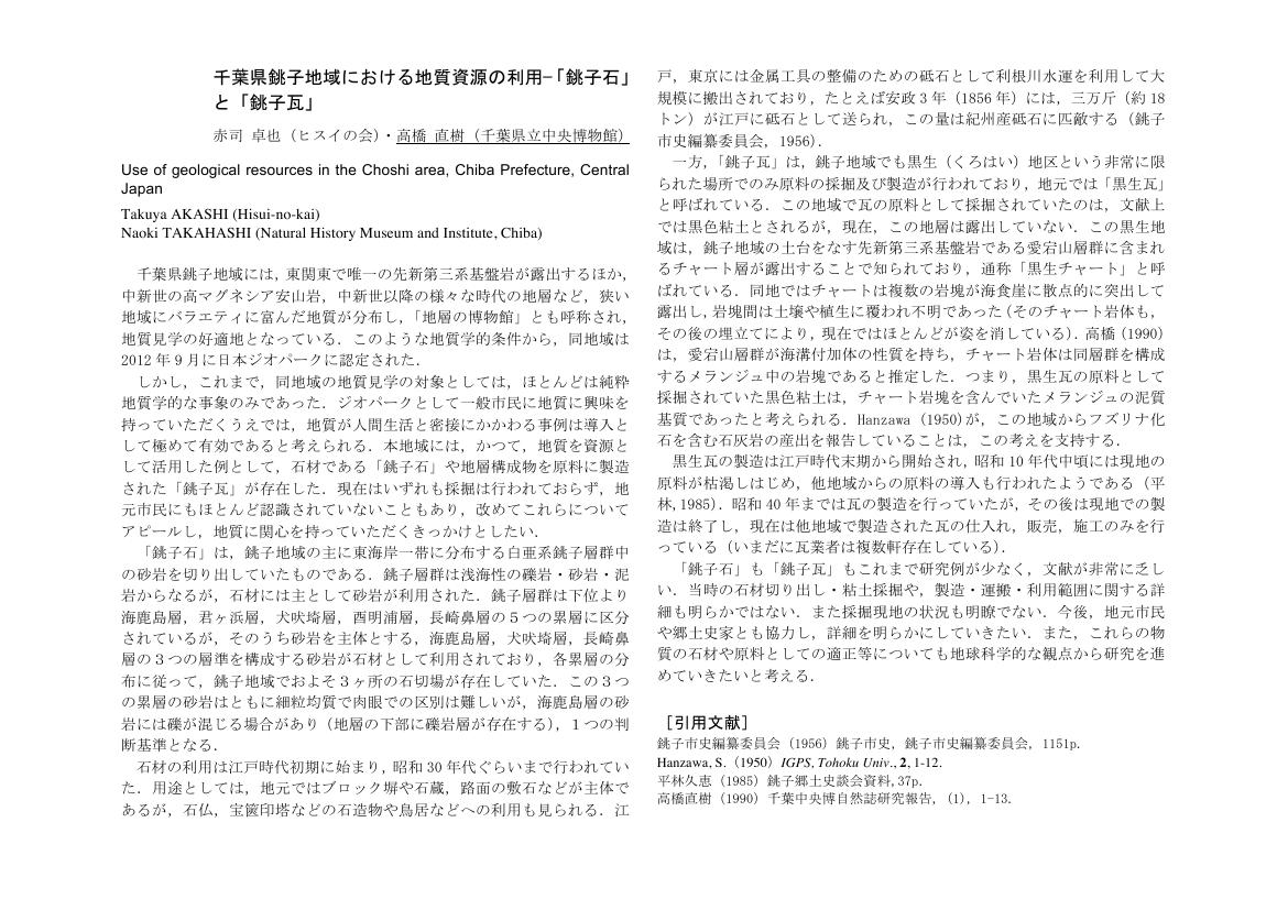
1 0 0 0 OA 千葉県銚子地域における地質資源の利用-「銚子石」と「銚子瓦」
- 著者
- 赤司 卓也 高橋 直樹
- 出版者
- The Geological Society of Japan
- 雑誌
- 日本地質学会学術大会講演要旨 (ISSN:13483935)
- 巻号頁・発行日
- pp.496, 2013 (Released:2014-04-01)
1 0 0 0 OA 多腺性自己免疫症候群3B型の1例
- 著者
- 後藤 善則 又野 豊 吉光 雅志 高橋 直樹
- 出版者
- 一般社団法人 日本消化器内視鏡学会
- 雑誌
- 日本消化器内視鏡学会雑誌 (ISSN:03871207)
- 巻号頁・発行日
- vol.57, no.8, pp.1603-1608, 2015 (Released:2015-08-29)
- 参考文献数
- 13
症例は66歳女性.29歳時にバセドウ病と診断されたが通院は中断していた.浮腫,倦怠感,黄疸を認め受診した.血液検査で汎血球減少と大球性貧血を認めビタミンB12低値から悪性貧血と診断した.原因として,ガストリン高値,抗内因子抗体陽性,上部消化管内視鏡検査で胃底腺領域優位の萎縮性変化を認めたことから自己免疫性胃炎を考えた.ビタミンB12を補充し症状は速やかに軽快した.自己免疫性甲状腺疾患に,長期経過して悪性貧血を伴った多腺性自己免疫症候群3B型と思われた.自己免疫性胃炎は胃癌やカルチノイドの合併頻度が高いことから,自己免疫性甲状腺疾患の患者には上部消化管内視鏡検査を勧め,A型胃炎の有無に注意した観察が望ましい.
- 著者
- 高橋 直紀 山縣 貴幸 峯尾 修平 加藤 光太 多部田 康一
- 出版者
- 特定非営利活動法人 日本歯周病学会
- 雑誌
- 日本歯周病学会会誌 (ISSN:03850110)
- 巻号頁・発行日
- vol.63, no.4, pp.171-182, 2021
- 被引用文献数
- 1
<p>世界中で猛威を振い続ける新型コロナウイルスの感染経路のひとつにエアロゾル感染がある。歯周治療で頻用される超音波スケーラーから発生するエアロゾルが交差感染のリスクとして懸念されているが,そのエアロゾル特性については十分に知られていない。本研究の目的は,微粒子可視化システムを用いた流体工学的検討と,感水試験紙およびパーティクルカウンターを用いた模擬臨床試験から,超音波スケーラーから発生するエアロゾル特性およびエアロゾル感染予防策を検討することである。流体工学的検討から,超音波スケーラーから発生するエアロゾルの平均粒子径は約40 μmで,液滴速度が3 m/sであった。また感水試験紙を用いた模擬臨床試験から,超音波スケーラーの向きによるエアロゾルの飛散距離の違いが観察された。パーティクルカウンターを用いた解析において,1-10 μmの粒径のエアロゾル飛散量は距離とともに減少し,口腔内外バキュームの使用によりエアロゾル量が大幅に減少することが確認された。これらのことから,超音波スケーラーから様々な粒子径のエアロゾルが発生するが,吸引装置の適切な使用によって超音波スケーラーから発生するエアロゾルを介した交差感染リスクを抑制できる可能性が示唆された。</p>
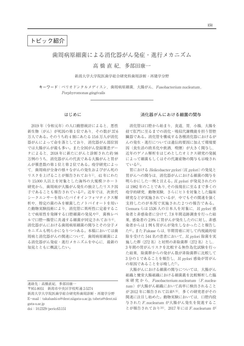
1 0 0 0 OA 歯周病原細菌による消化器がん発症・進行メカニズム
- 著者
- 高橋 直紀 多部田 康一
- 出版者
- 特定非営利活動法人 日本歯周病学会
- 雑誌
- 日本歯周病学会会誌 (ISSN:03850110)
- 巻号頁・発行日
- vol.63, no.3, pp.151-157, 2021-09-30 (Released:2021-09-30)
- 参考文献数
- 30
1 0 0 0 OA ゴルフトーナメントのCO2排出量の算出と排出量削減方法の検討
- 著者
- 山口 博司 堀口 健 湯 龍龍 伊坪 徳宏 比留間 雅人 高橋 直哉 畑口 千恵子
- 出版者
- 日本LCA学会
- 雑誌
- 日本LCA学会研究発表会講演要旨集 第4回日本LCA学会研究発表会(会場:北九州国際会議場)
- 巻号頁・発行日
- pp.103, 2008 (Released:2009-02-05)
- 被引用文献数
- 1
地球温暖化が急激に進行する中、各種イベントにおけるGHG排出量を求めその削減努力を行うことが課題となっている。ゴルフトーナメントの開催にあたりCO2排出量を削減する大会運営をめざし、大会実施に係るCO2排出量を求めた。大会運営、選手、ギャラリー、スタッフ、ボランティアなど参加者の移動、飲食、物品、会場構築物、備品、配布物などあらゆる活動につき、CO2排出量を産業連関法をベースとして求めた。さらに環境に対する各種の取り組みにつきCO2削減効果を積上げ法により算定した。上記プロセスと算定結果、今後の課題につき述べる。
1 0 0 0 IR 神明後遺跡出土の縄文時代中期塗彩土器について
- 著者
- 高橋 直成
- 出版者
- ふじみ野市教育委員会
- 雑誌
- ふじみ野市埋蔵文化財調査報告 : ふじみ野市埋蔵文化財調査報告 第4集 埼玉県ふじみ野市 市内遺跡群3
- 巻号頁・発行日
- vol.3, no.4, pp.243-248, 2008-03-30
- 著者
- 浅井 寿生 石田 聖子 磯村 昌彦 伊藤 達也 今泉 景子 大岩 昌子 小野 展克 亀山 郁夫 後藤 希望 佐藤 雄大 白井 史人 高橋 直子 新居 明子 沼野 充義 根無 一信 濱嶋 聡 林 良児 福田 眞人 堀部 純子 真崎 翔 ムーディ 美穂 室 淳子 安井 朱美 吉見 かおる Marceau Etienne HIRATA Eric Paccoud Jérôme CRANE Paul Allen KENNY Tom Annequin Laurent
- 出版者
- 名古屋外国語大学ワールドリベラルアーツセンター
- 雑誌
- Artes MUNDI (ISSN:24321125)
- 巻号頁・発行日
- no.6, pp.191-207, 2021-03-31
豊かさの追求 / 浅井寿生観るよろこびのために / 石田聖子『ダンサー・イン・ザ・ダーク』 / 磯村昌彦ヴィム・ヴェンダース監督『パリ、テキサス』(一九八四年) / 伊藤達也二十年ぶりのタイタニック / 今泉景子「蝶の舌」に込められた想い / 大岩昌子逆行する時間が描く世界の不確かさと不安 / 小野展克ベルイマン『沈黙』をめぐるメモランダム / 亀山郁夫衝撃のラストシーン『レ・ミゼラブル』 / 後藤希望映画『あん』 / 佐藤雄大冬の神田川で / 白井史人『A Beautiful Mind』から学ぶこと / 高橋直子オオカミ少年の瞳 / 新居明子亡命ソ連人監督が描くビザールなアメリカ / 沼野充義人生を変えた我が師について ― 植村直己物語 / 根無一信「SALUTE」メキシコ五輪表彰台での差別抗議 / 濱嶋 聡映画ファンと言える日のために / 林 良児映画狂時代 / 福田眞人「世界の破滅まで百秒」の時代に考える名作 / 堀部純子人生の灯台となった映画 / 真崎 翔名も無きソ連の映画 / ムーディ 美穂ドラえもん世代 / 室 淳子『コースト・ガード』に見る境界線 / 安井朱美人間の心、神秘が宿るところ / 吉見かおるRelevant Now More Than Ever / Étienne MarceauGrowing Through Relationships / Eric HirataThe freedom everyone needs / Jérôme PaccoudA Movie for Teaching Language and Cultural Understanding: "Fried Green Tomatoes" / Paul Allen CraneStagecoach / Tom KennyHunger où l'art de déranger / Laurent Annequin
- 著者
- 小野寺 一 高橋 直之 福本 一朗
- 出版者
- 一般社団法人電子情報通信学会
- 雑誌
- 電子情報通信学会技術研究報告. MBE, MEとバイオサイバネティックス
- 巻号頁・発行日
- vol.95, no.286, pp.41-46, 1995-09-30
- 参考文献数
- 8
- 被引用文献数
- 6
本研究の目的は、バイオフィードバックの手法を用い仮性近視の自己治療を行うことである。バイオフィードバック情報を水晶体厚みの変化とし、この計測をするためにPurkinje-Sanson像を検討した。この計測法は、簡単な光学系を用いて非侵襲かつ実時間で水晶体厚み計測が可能である。初めに水晶体の代わりに両凸レンズを用いてPurkinje-Sanson像の有用性を確認し、これを基に豚の眼球を用いて基礎実験を行った。その結果、計測データと実測データの間で良い関係が得られた。
- 著者
- 安田 正樹 草薙 輝章 高橋 直仁 千葉 長仁 小松 恭聡 遠藤 寛明 長谷川 武司
- 出版者
- 秋田工業高等専門学校
- 雑誌
- 秋田工業高等専門学校研究紀要 (ISSN:02855364)
- 巻号頁・発行日
- no.30, pp.p235-241, 1994-11


